After record-breaking heat in July, the UK is set to experience tropical weather conditions as high temperatures mix with showers.
“Muggy conditions”, resulting from the mix between the heat and rain, are expected in the coming days.
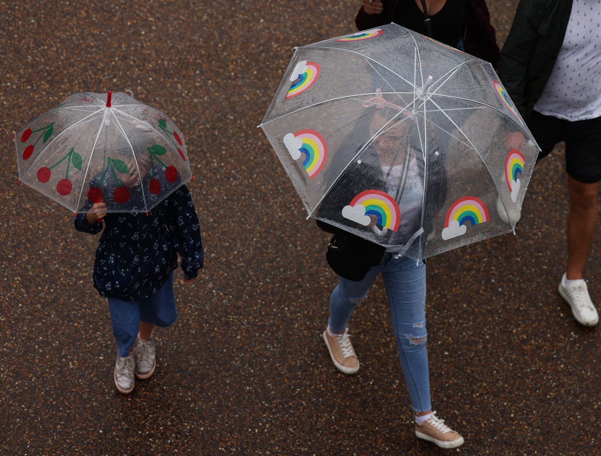
Heavy showers moving in from the Atlantic are set to hit parts of the country over the weekend, while southern and eastern areas will be hot and humid, forecasters have said.
The wetter weather will be a welcome change from the dry and extreme heat that the country has been experiencing over the past two weeks, with parts of Britain seeing temperatures of 40C for the first time in history.
Met Office forecaster Tom Morgan said: “The main theme over the coming days will be wet weather, in stark contrast to the rest of July.

“Many areas will be very warm and humid with plenty of cloud around, even overnight, with temperatures as high as 20C in the early hours, meaning uncomfortable evenings for sleeping are in store.
“The odd rumble of thunder may be heard in isolated areas, and it’s going to be pretty muggy and humid, typical of conditions seen in tropical countries.
“Temperatures could climb as high as 29C during the day in southern areas, but it’s going to feel uncomfortable and clammy.”
He said “moist” air will push in from the south-west in the Atlantic, where sea temperatures are above average.
Around 30 to 40mm of rain could fall over Monday and Tuesday in northern, central and western areas, but “nothing too disruptive” and “useful for farmers and gardeners”.
Mr Morgan went on to say that it will be a “week of two halves”, with fresher and drier weather from Wednesday.
He added: “The rain will clear and a less messy picture will start to emerge, with conditions calmer and temperatures in the low 20s.”
Met Office Forecast
Tonight:
Humid with occasional rain or drizzle and some hill fog across some central and southern parts. Heavier rain affecting Wales and central England later, but little reaching the far south. Clear intervals and isolated showers in northern parts, where cooler.
Sunday:
Rain across England and Wales moving south and turning showery, perhaps thundery in the east. Mostly dry with sunny spells further north. Warm and humid in south, cooler in north.
Outlook for Monday to Wednesday:
Fine for many on Monday, but rain will spread east later. Thereafter, often cloudy with occasional rain. A few spells of sunshine in eastern & southern areas. Feeling very warm.