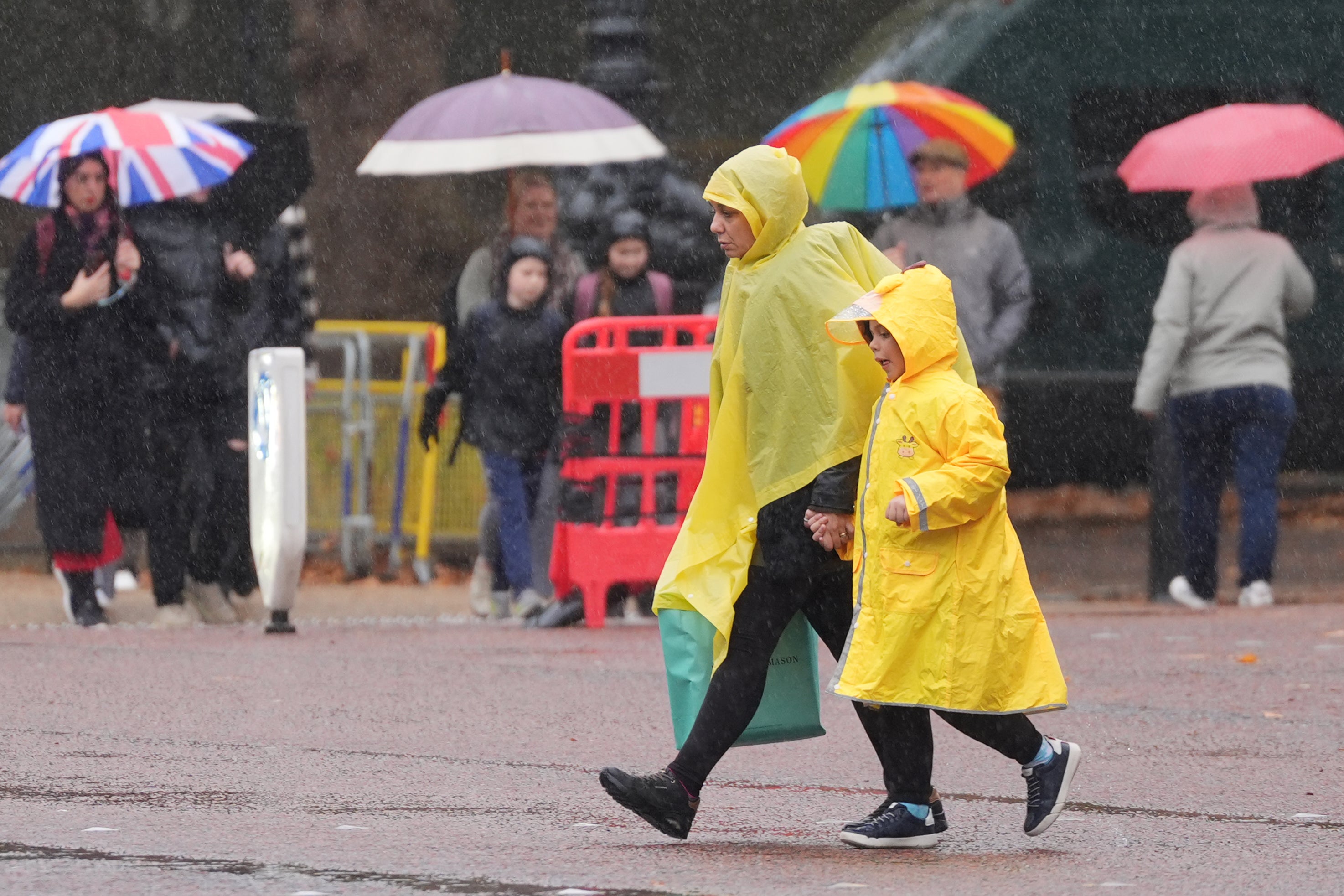
Stormy weather with heavy downpours and gale-force winds are set to batter the UK from Thursday afternoon and into the weekend, forecasters say.
Gusts of up to 70mph could disrupt travel plans in the North West as gales hit the Irish Sea.
And a yellow weather warning has been issued for wind across Northern Ireland on Thursday from 1pm to 11pm.
The UK has just recovered from Storm Benjamin last week, when hurricane-force winds and downpours lashed much of Europe.
On Wednesday, heavy rain soaked southeast England, and Met Office forecasters say the weather will turn even more unsettled by the end of the week as a jet stream picks up low pressure and steers it over the country.
Some places could have mist and fog early on Thursday, the forecasters said, before blustery weather with heavy rain moves in, particularly across Northern Ireland. Gales could form, particularly later in the afternoon.
Meteorologist Jonathan Vautrey said Northern Ireland would have hazardous conditions, and in the North West of the UK wind speeds could reach 60mph or 70mph.
More heavy showers would fall on Friday and at the start of the weekend, he said.
“Those showers may prove particularly heavy, with some hail in there as well on Friday, and again, some pretty blustery and squally winds around.”
Areas outside the North West could experience gusts of 50mph at times, which will make outdoor conditions feel colder than the UK maximum temperatures of 15C.
There were no clear signs of when the gales and downpours would end, Mr Vautrey said, although showers are forecast to become more isolated by Sunday.
“Even at the start of next week, we are expecting the areas of low pressure to be pushing towards the UK. So at the moment, the next week or so is looking pretty changeable.”