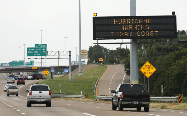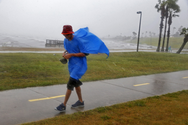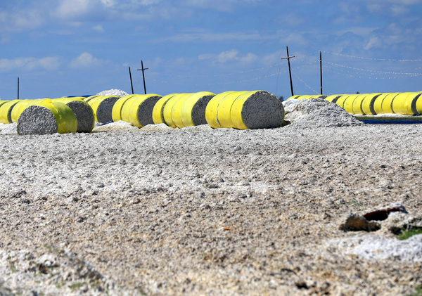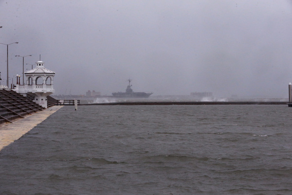
AUSTIN, Texas _ Hurricane Harvey's maximum sustained winds were at 110 mph Friday morning, just shy of being classified a Category 3 hurricane, the National Hurricane Center reported.
The center of the storm was around 295 miles southeast of Austin, moving northwest at 10 mph.
The National Weather Service says Harvey's forward speed is expected to drop significantly in the next few days.

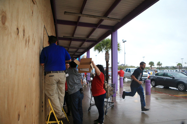
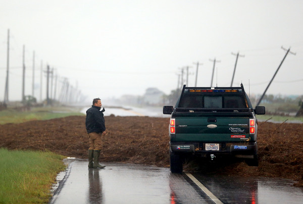
Harvey is still expected to make landfall on the middle Texas coast late Friday or early Saturday. The storm is then likely to meander near or just inland from the coast through the weekend, forecasters say.
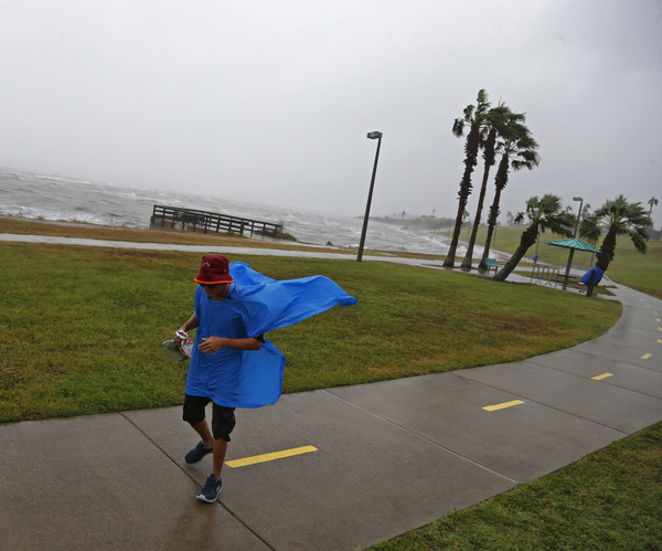
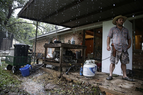
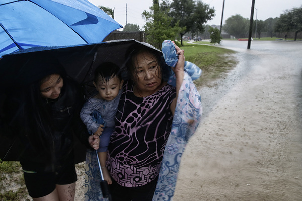
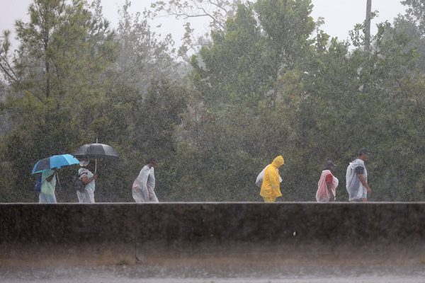
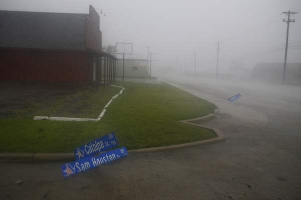
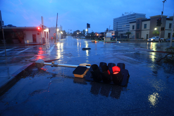
Doppler radar early Friday indicated that Harvey's outermost rain bands were already sweeping across the Texas Gulf Coast.
According to the National Hurricane Center as of 5:30 a.m., Harvey was a Category 2 hurricane with maximum sustained winds of 105 mph. The center of the storm was about 335 miles southeast of Austin, heading northwest at 9 mph.
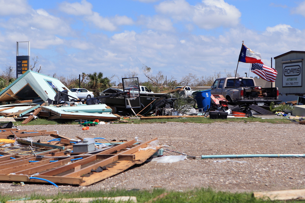
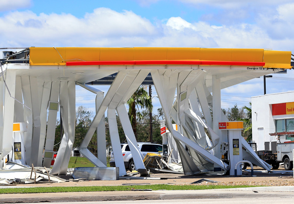
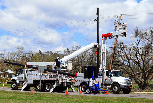
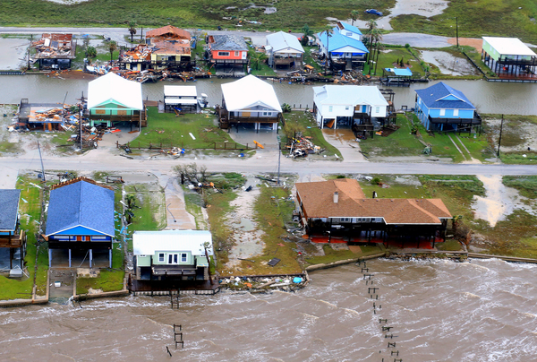
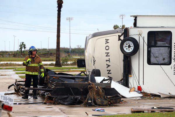
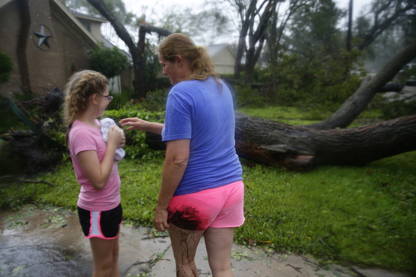
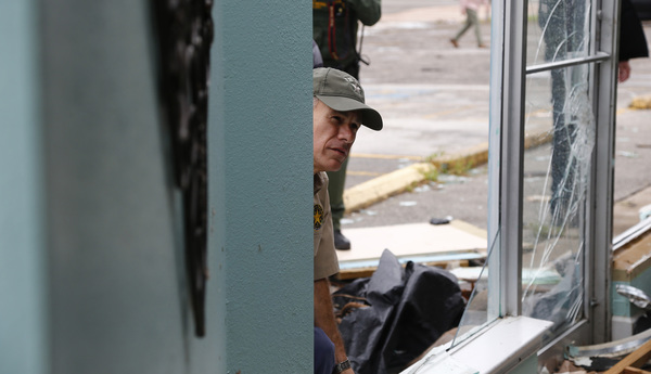
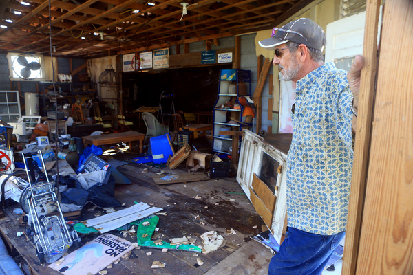
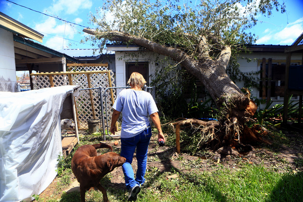
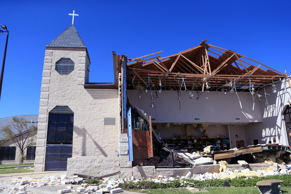
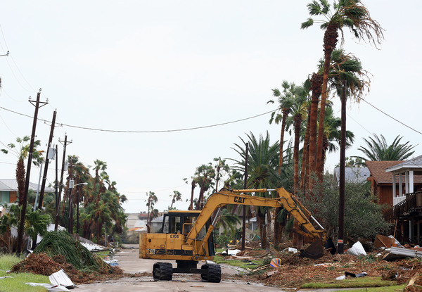
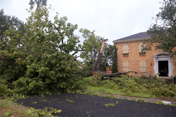
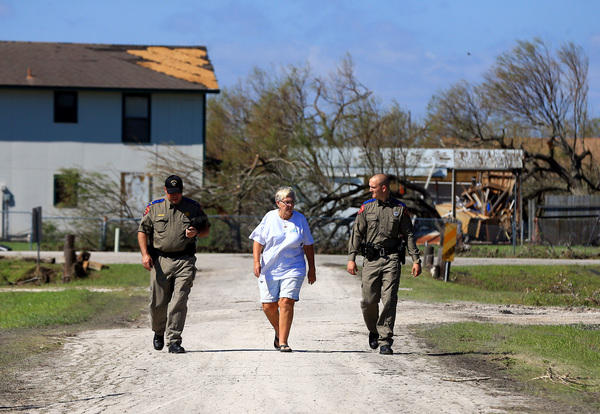
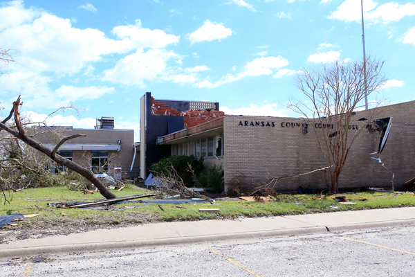
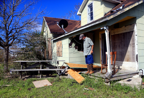
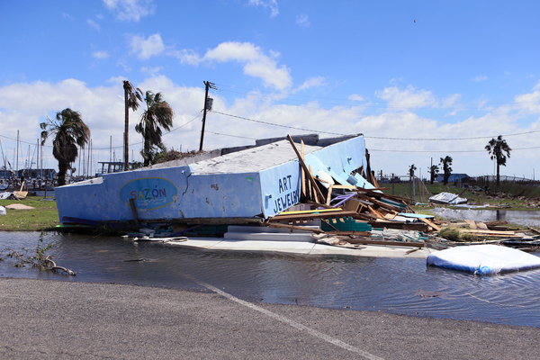
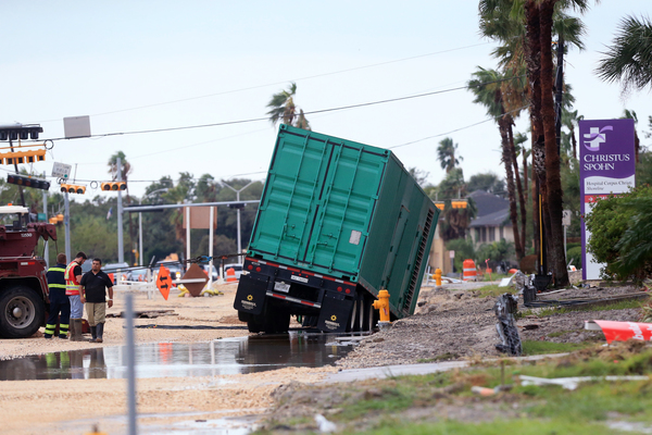
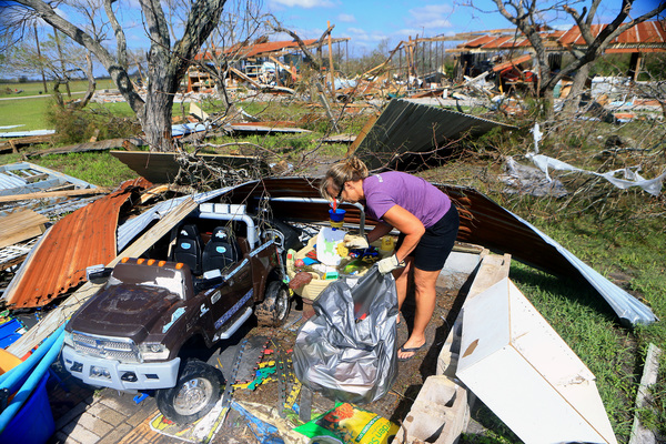
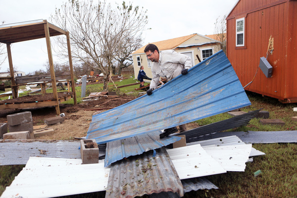
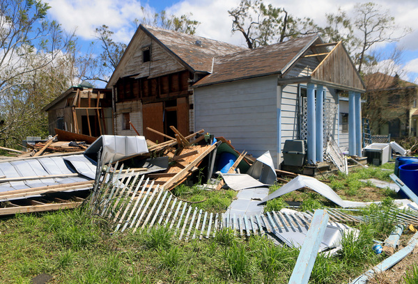
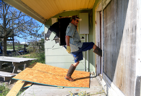
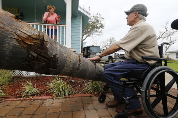
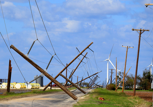
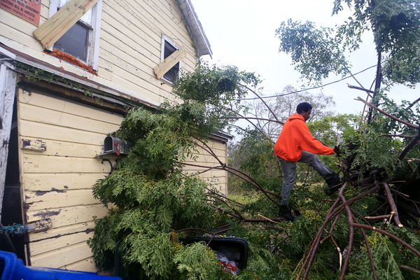
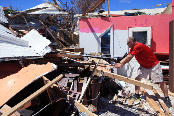
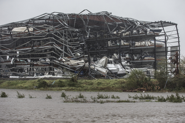
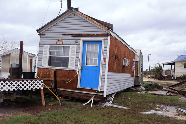
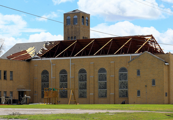
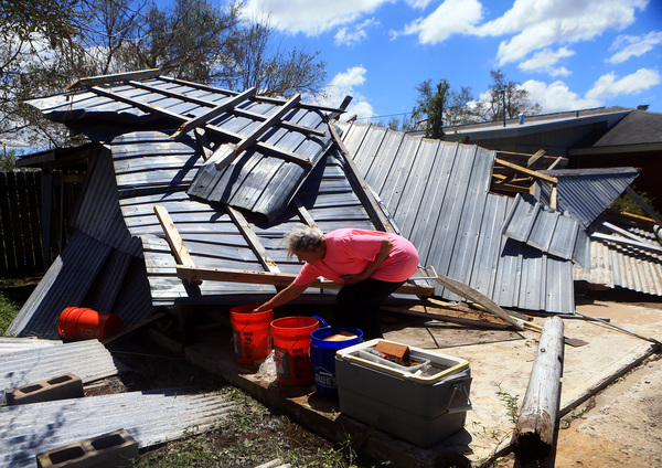
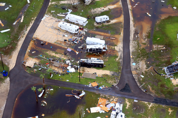
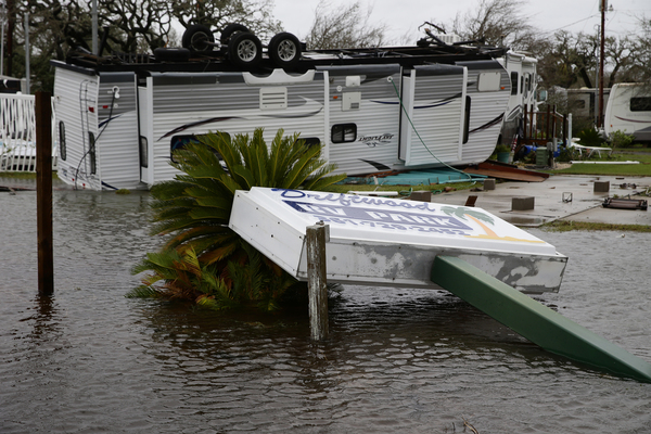
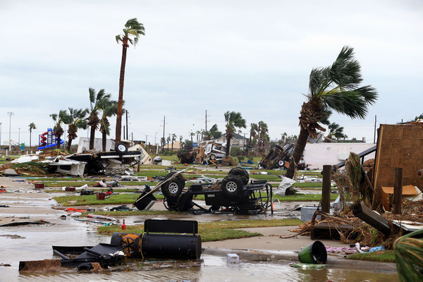
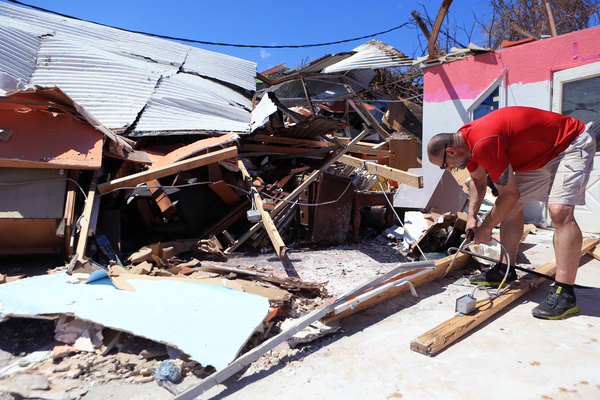
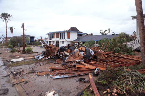
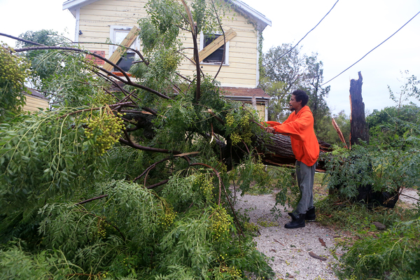
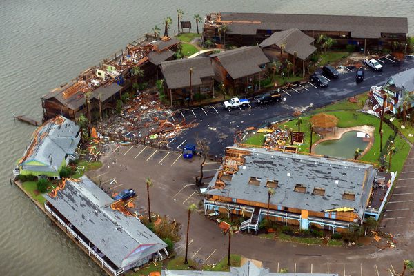
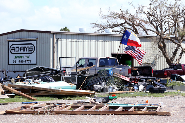
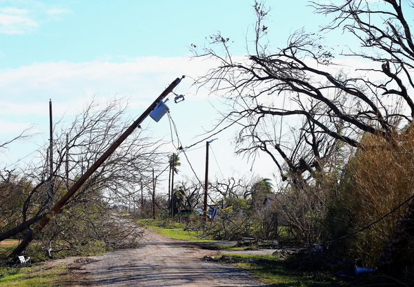
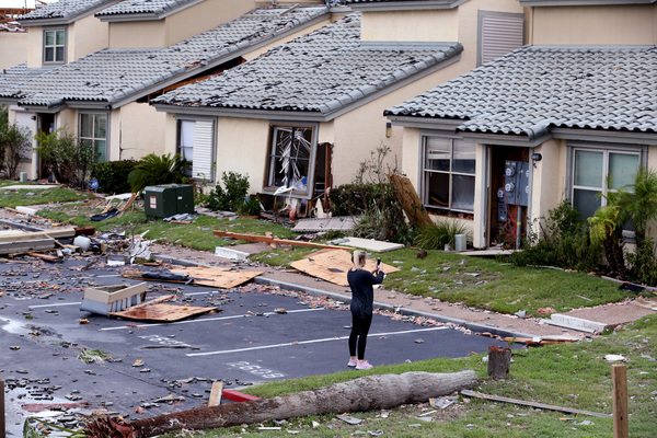
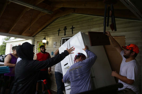
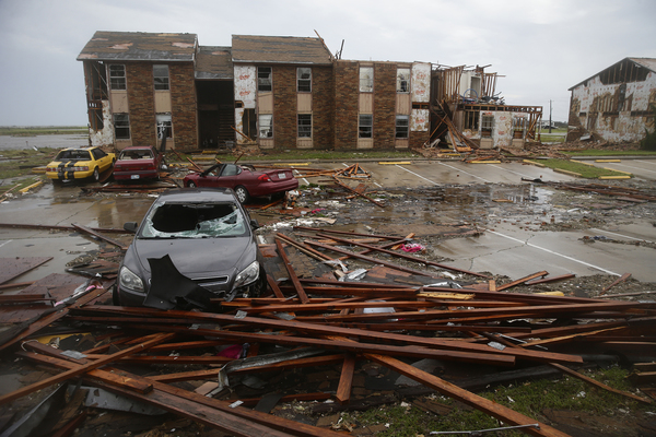
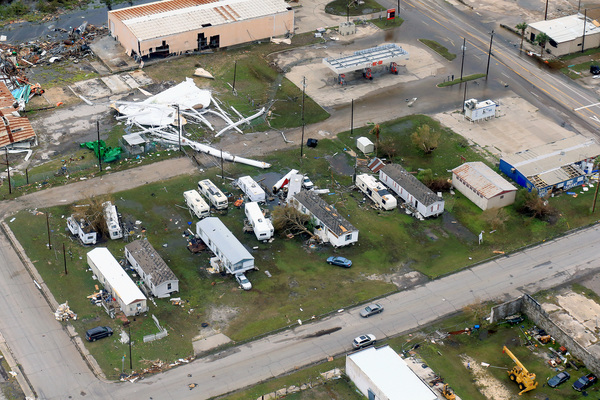
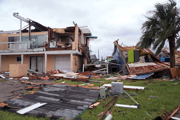
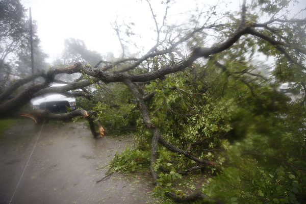
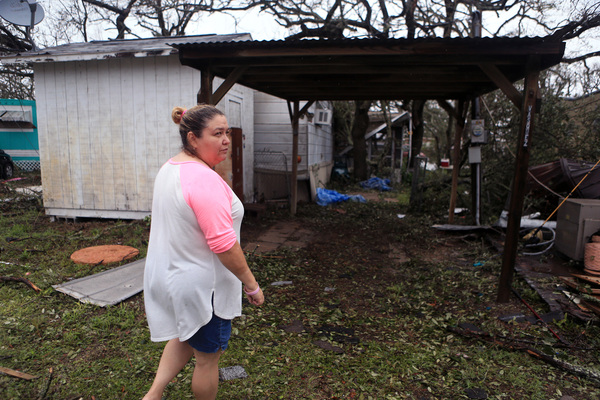
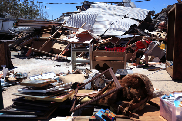
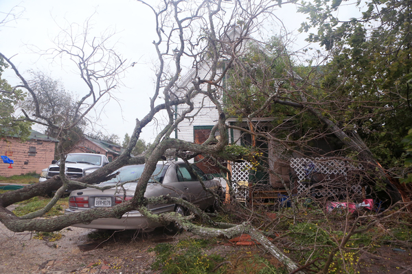
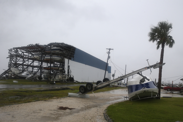
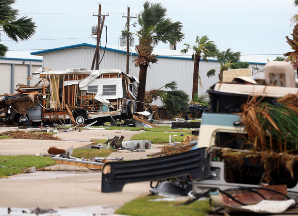
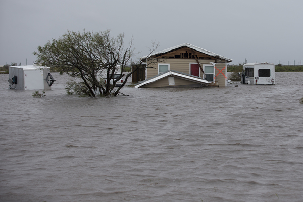
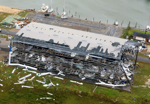
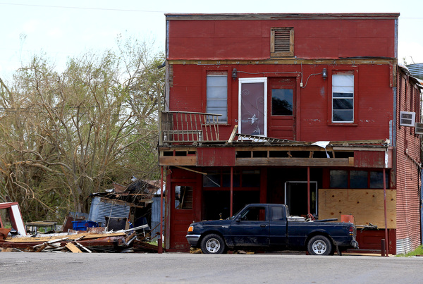
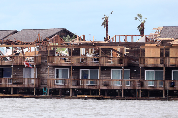
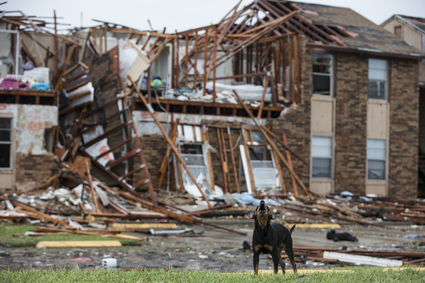
The weather service said it still expects Harvey to make landfall between Corpus Christi and Port O'Connor Friday night as a Category 3 hurricane, whose sustained maximum winds of at least 111 mph can uproot trees and flatten homes.
However, Harvey is also expected to weaken and stall inland over South Texas over the weekend through at least Monday before moving east on Tuesday.
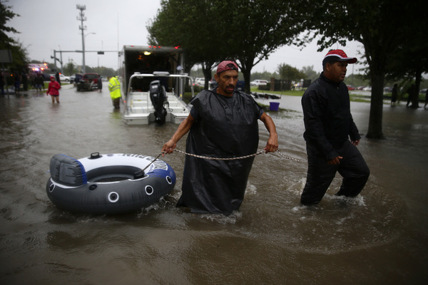
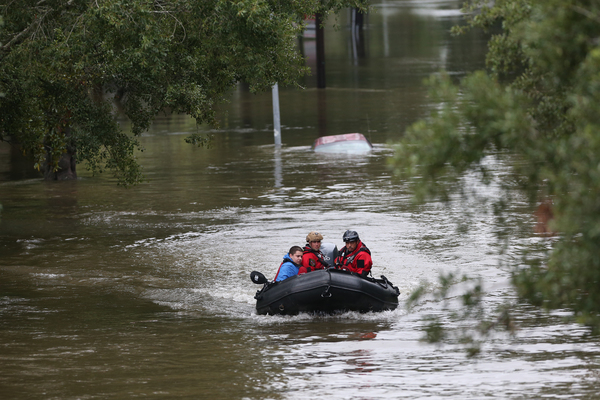
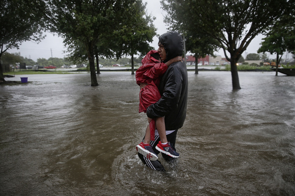
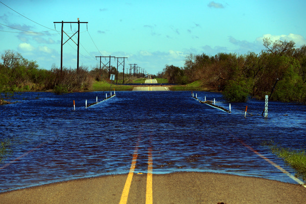
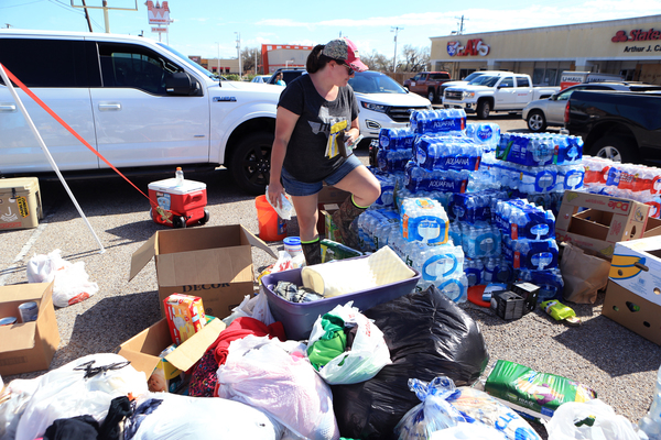
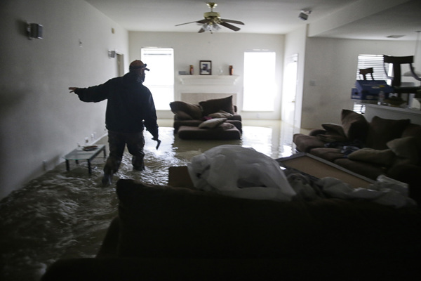
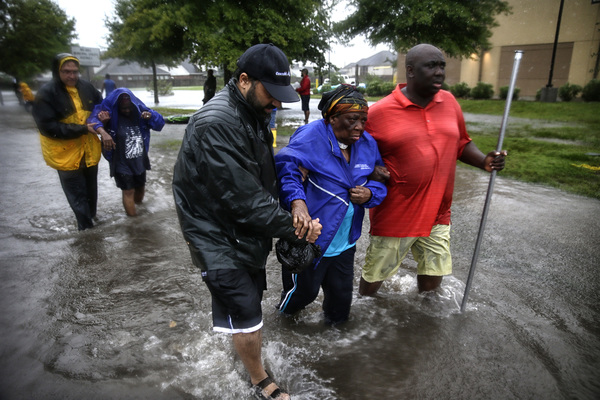
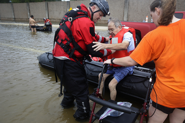
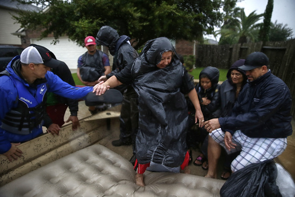
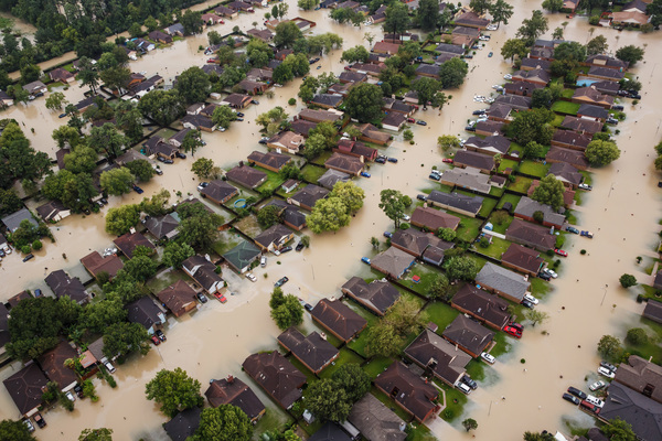
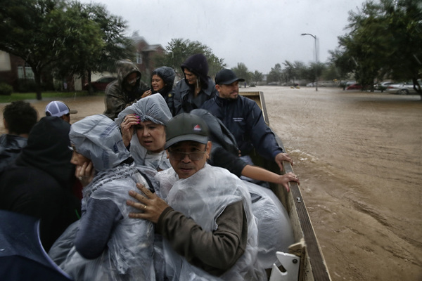
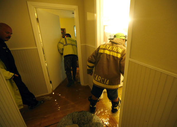
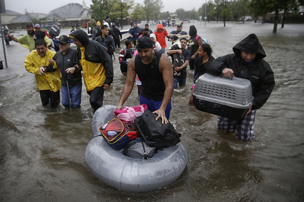
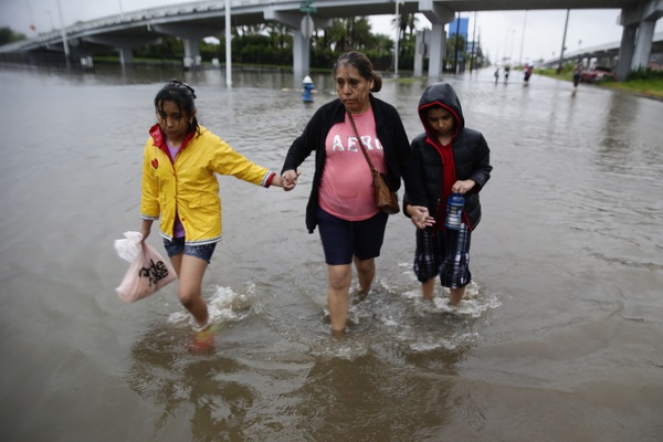
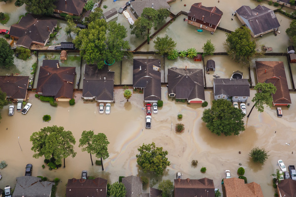
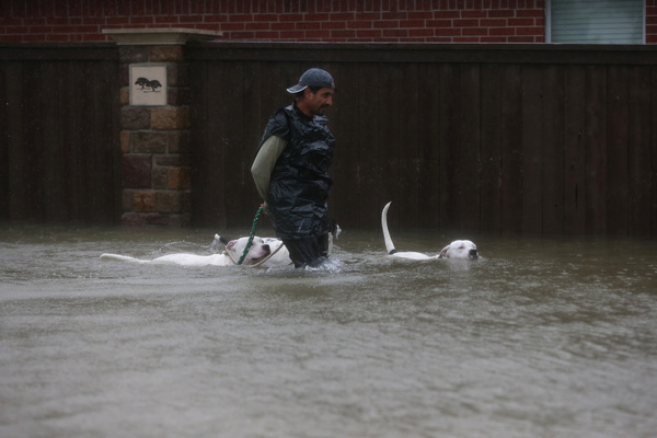
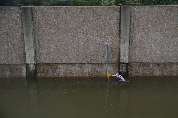
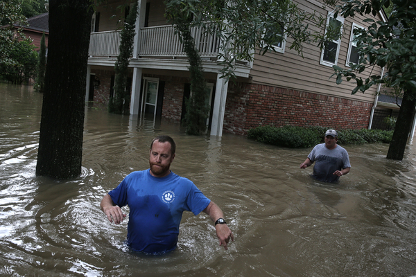
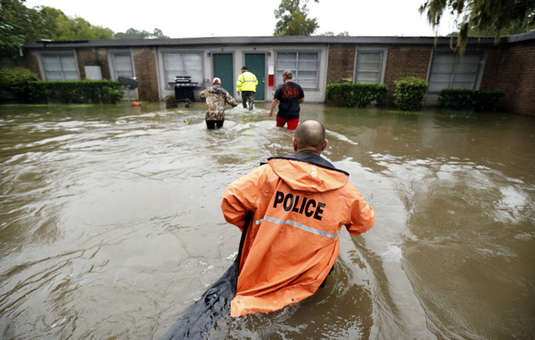
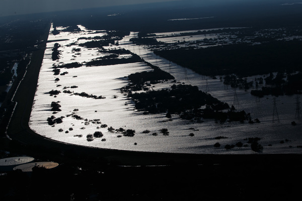
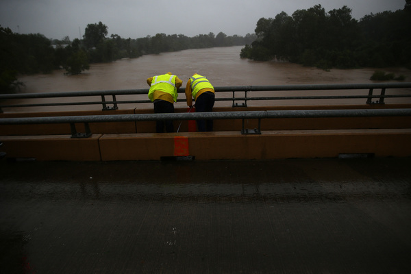
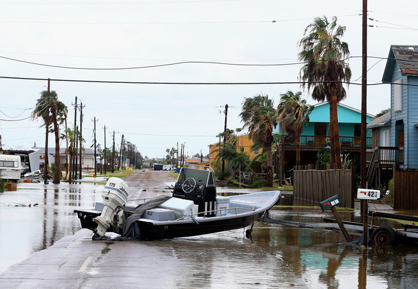
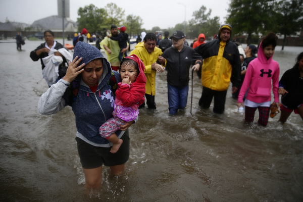
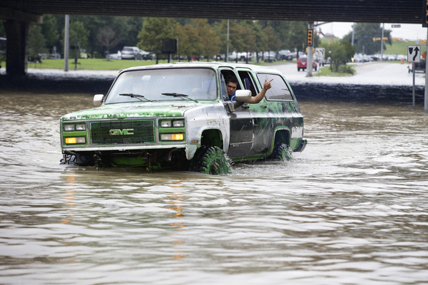
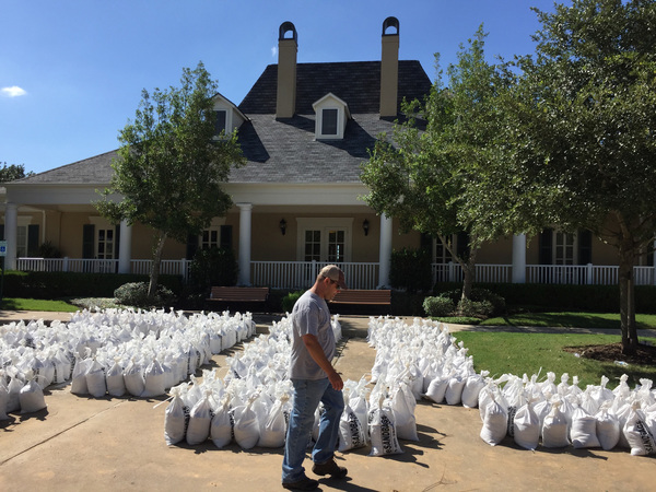
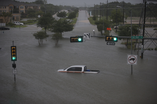
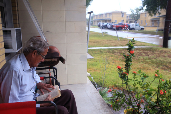
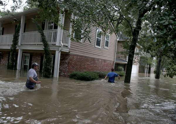
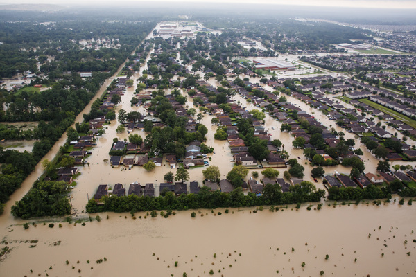
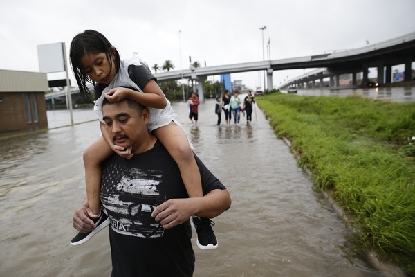
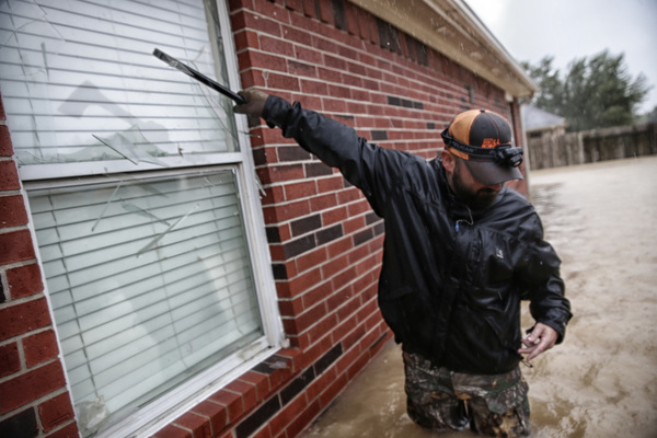
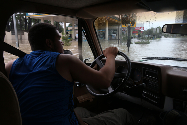
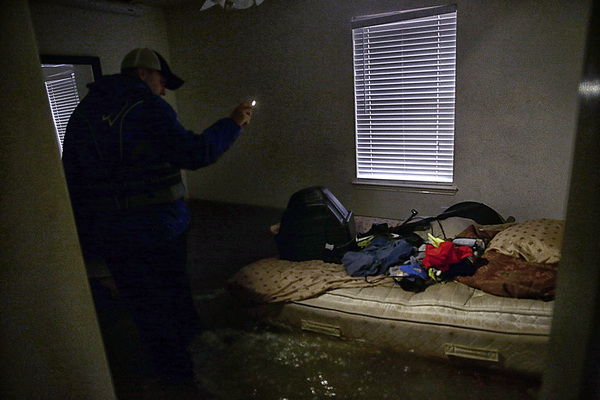
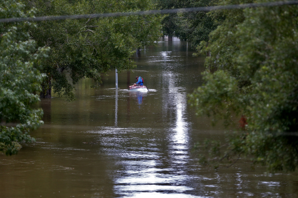
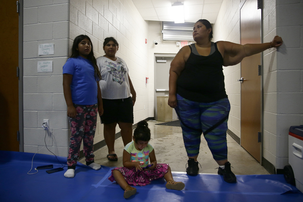
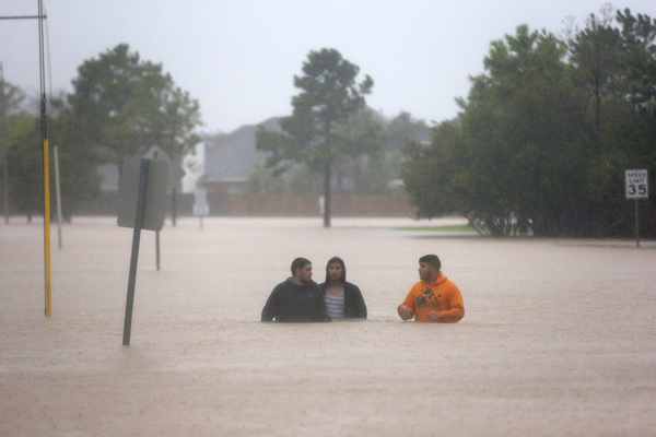
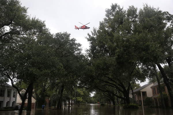
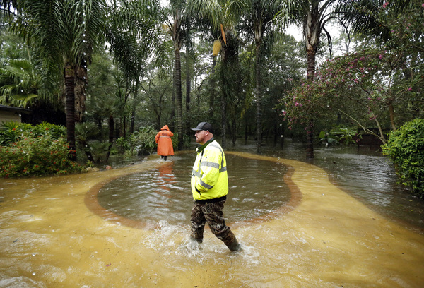
Although forecasters are still uncertain about Harvey's exact track and speed as it moves into Texas, the weather service has high confidence that the storm will pose a life-threatening flash flooding threat to Central Texas and the Coastal Plains.

The weather service warns that even small changes to Harvey's track, intensity, and speed could result in large changes to the forecast.