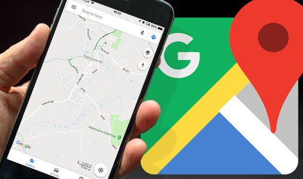
California [USA]: Google has announced the launch of a new update that lets users create Street View photos using just a phone on Maps.
With the new connected photos tool in the app, users can record a series of connected images as they move down a street or path.
These images are captured using ARCore, the same augmented reality technology the tech giant has used to produce experiences like 'Live View'.
After users record images and publish them via the Street View app, Google will automatically rotate, position and create a series of connected photos.
"We then place those connected images in the right place on Google Maps, so your new Street View can be found in the exact location where it was taken for others to see and explore," explained a blog post form Google.
"Before this feature, you would typically need special 360-degree cameras to capture and publish Street View imagery," it added.
These pictures will help make Google Maps more accurate and up-to-date for everyone. (ANI)