What you need to know
- Google Earth turns 20 and rolls out a virtual time machine, so you can swipe through years of Street View memories right in the app.
- You can now rewind Street View right inside Google Earth to see how places looked years ago.
- A handful of AI-powered tools is rolling out to Google Earth, letting users analyze tree cover, track urban heat, and plan cooler, greener cities.
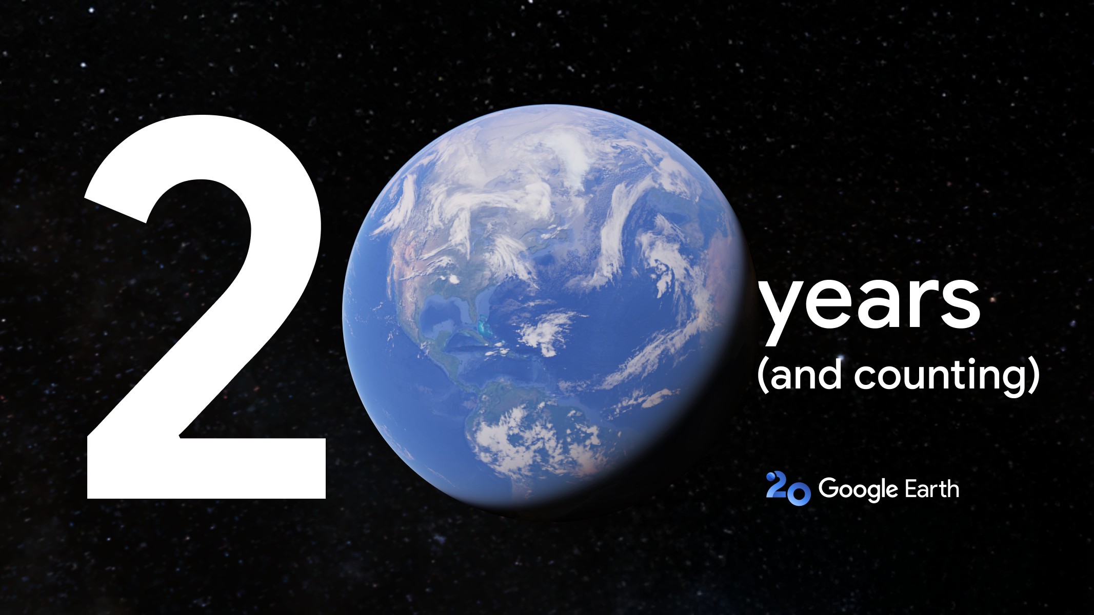
Google Earth has turned 20, marking two decades of the service letting us spin the globe on our screens. And to celebrate its 20th birthday, Google Earth is rolling out a nostalgic update: historical Street View, now baked right into the Earth experience.
What started as a 3D map app is now a massive time machine in your pocket, full of satellite snapshots, rare discoveries, and even Hollywood-worthy reunions. With its latest update, you can now hop into Street View and roll back the clock to see how your city or street looked a decade or two ago.
This feature even got social media buzzing recently with #somewhereonGoogleMaps as people virtually time-traveled to see how places evolved and find their loved ones in imagery.
From fun to life-changing
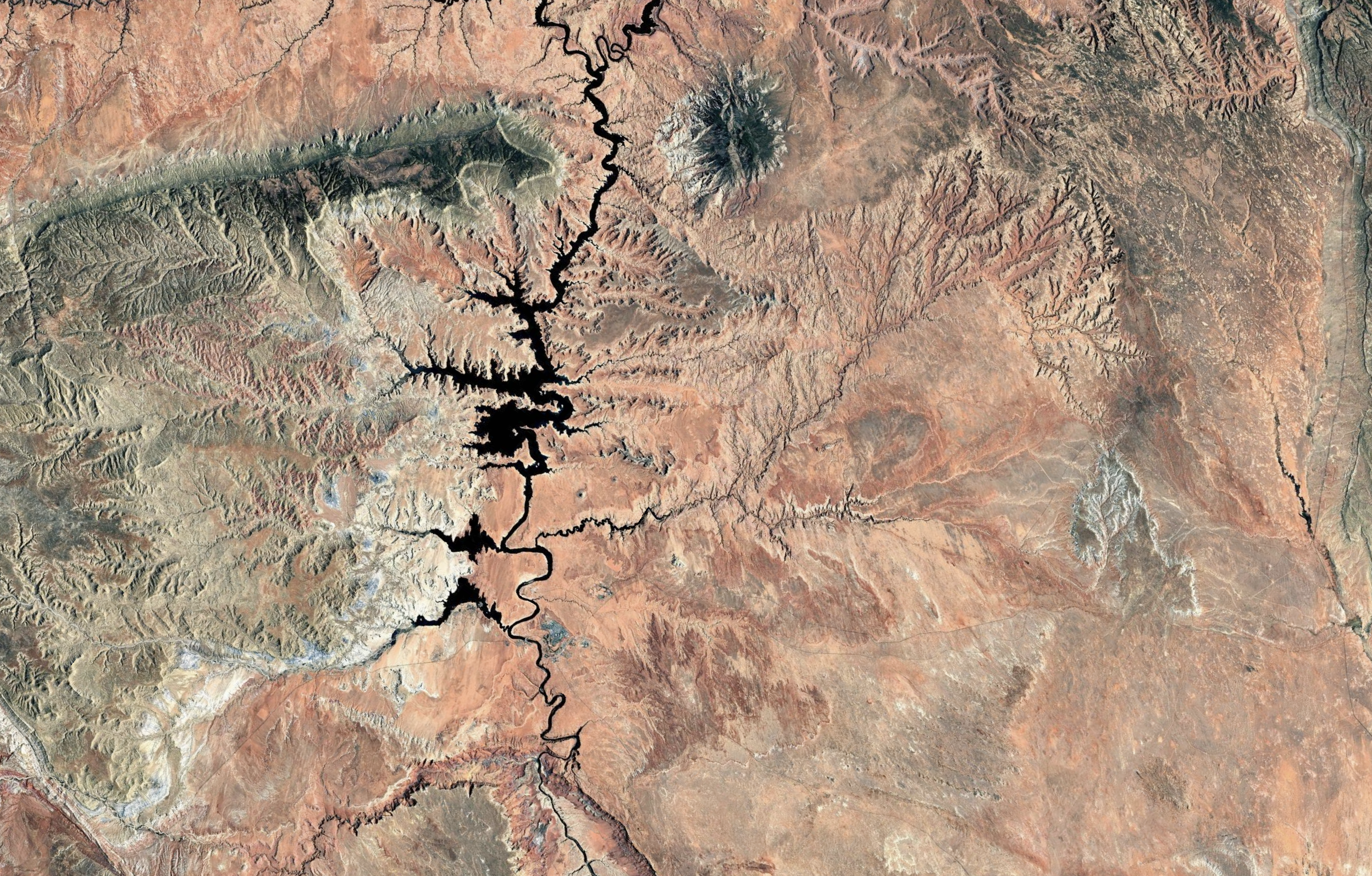
Beyond the fun of virtual tourism, Google Earth has racked up some pretty impressive milestones. Back in 2005, it was downloaded 100 million times in its first week. When Hurricane Katrina hit just months later, first responders used updated satellite views from Google Earth to coordinate disaster response.
Over the years, Google Earth has quietly helped discover coral reefs, ancient human relatives, and even long-lost family members. In 2016, Saroo Brierley used Earth imagery to retrace his childhood journey and reconnect with his birth mother in India—25 years later. That story turned into the Oscar-nominated film Lion.
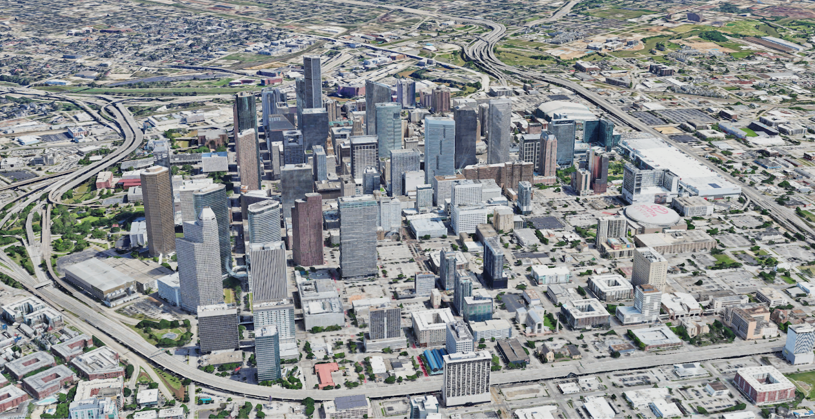
In 2012, Google ditched the satellites and flew a little closer to Earth—literally. It used helium balloons and kites to snap aerial photos over Oakland, California, kicking off the era of community-captured imagery. Fast forward to today, and you’ve got professionals using Google Earth to evaluate solar panel viability and building designs before even setting foot onsite.
AI for the planet
Beyond letting everyday folks geek out on geography, Google Earth is giving us AI-powered insights. In the next few weeks, professionals across the U.S. will get access to AI-powered Earth tools that offer a fresh look at the planet, like detailed tree canopy breakdowns in cities.
Take Austin, Texas. With this upgrade, you’ll be able to see which neighborhoods are naturally cooler thanks to more shade. That kind of insight makes it way easier to figure out where to plant more trees or roll out heat-busting fixes. You’ll also be able to pull up land surface temperatures and build heatmaps that actually help guide smarter city planning.