Get all your news in one place.
100’s of premium titles.
One app.
Start reading
Reuters
Reuters
Environment
Keith Coffman

From sun screen to snow boots, U.S. Rockies sees striking weather change

Colorado National Guard members monitor a roadblock leading to the Cameron Peak wildfire as a warning sign list the fire danger as extreme while snow falls a day after the region sweltered through temperatures in the 90s Fahrenheit (32 degrees Celsius) outside Fort Collins, Colorado, U.S., September 8, 2020. REUTERS/Jim Urquhart

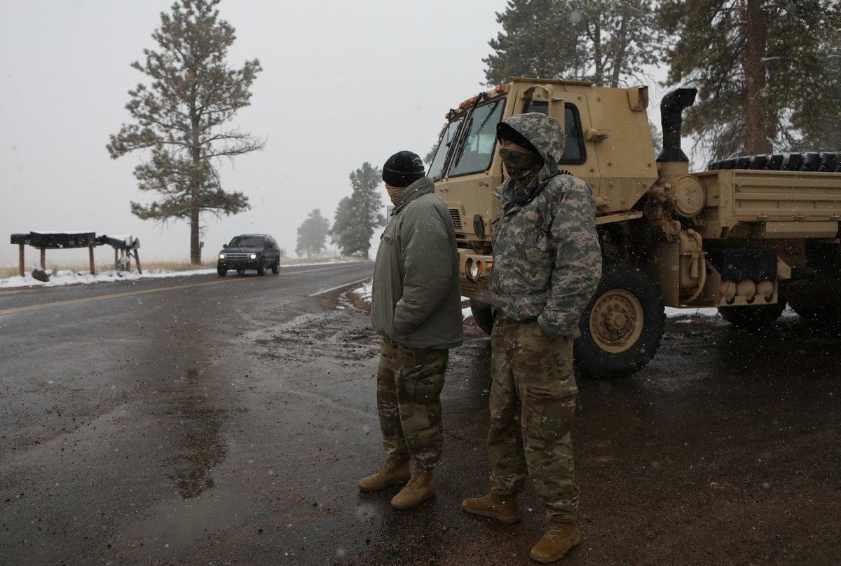
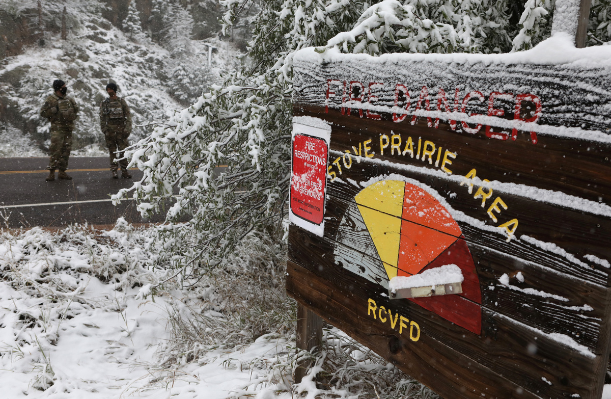
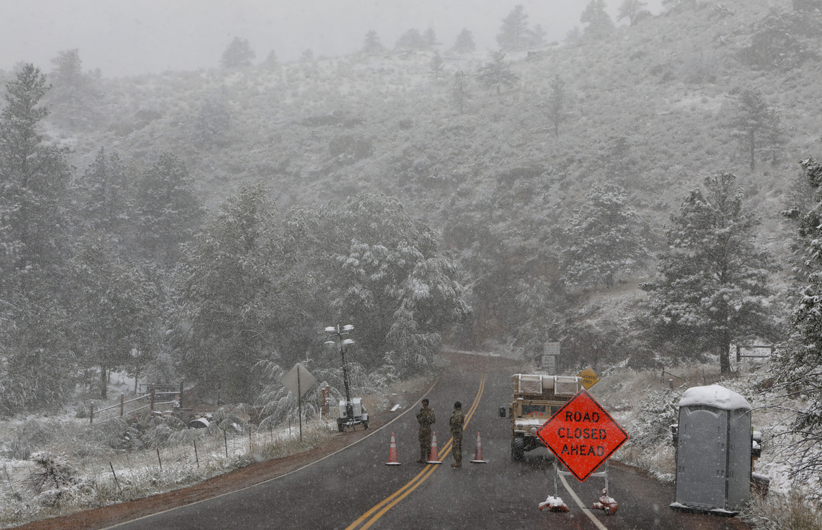
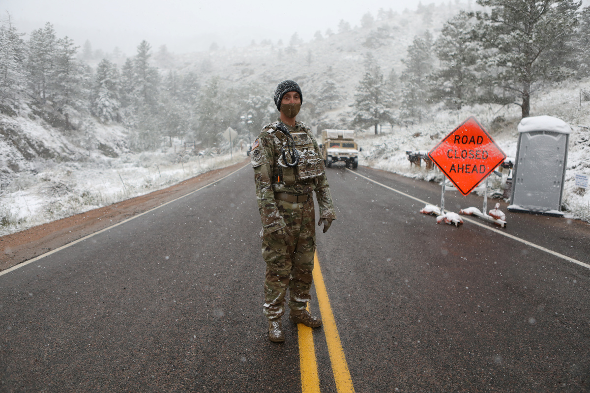
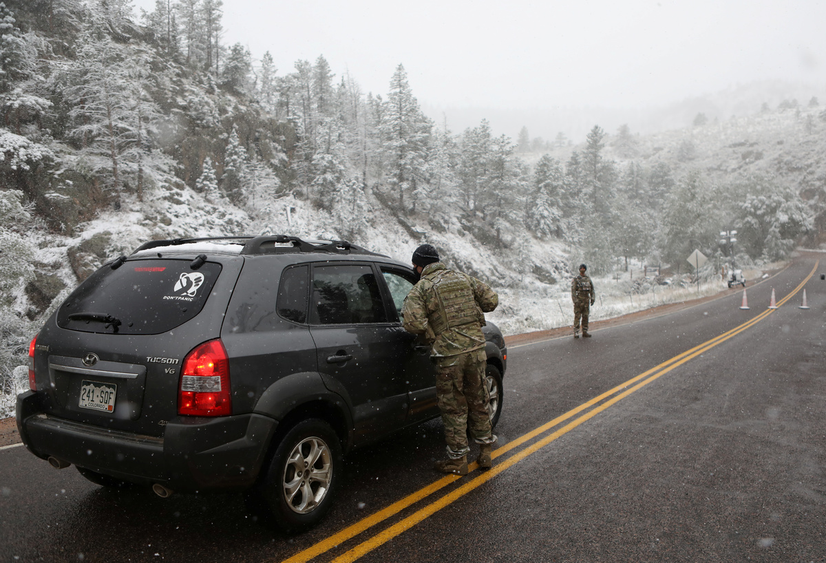
The U.S. Rockies were bracing for an extreme swing in weather conditions on Tuesday, with forecasters warning of a winter storm bringing heavy snows and damaging winds, a day after the region sweltered through temperatures in the 90s Fahrenheit.

A blast of cold Canadian air was expected to push through Nevada, Utah, Wyoming and Colorado, bringing with it at least 6 inches (15 cm) of snow and winds gusts of 35 mph (56 kph) throughout the night and into Wednesday, the National Weather Service (NWS) said.

Colorado National Guard members monitor a roadblock leading to the Cameron Peak wildfire as snow falls a day after the region sweltered through temperatures in the 90s Fahrenheit (32 degrees Celsius) outside Fort Collins, Colorado, U.S., September 8, 2020. REUTERS/Jim Urquhart

The cold front follows a long spell of hot, dry weather that plagued the region for the last two months.

At 6 p.m. local time on Tuesday, the temperature dipped to 36 degrees Fahrenheit (2°C) in Denver, where snow was falling with winds blowing at about 15 mph, a day after Colorado's capital reached 93 degrees Fahrenheit (34°C), the 73th day of temperatures above 90 degrees, tying the city's record.

"Any average person would see this a couple of times in their life," said Evan Direnzo, a NWS meteorologist in Colorado.

Colorado National Guard members monitor a roadblock leading to the Cameron Peak wildfire as snow falls a day after the region sweltered through temperatures in the 90s Fahrenheit (32 degrees Celsius) outside Fort Collins, Colorado, U.S., September 8, 2020. REUTERS/Jim Urquhart

Since forecasters began keeping records about 150 years ago, a one-day change in temperature of 55 degrees or more has occurred two dozen times in Denver, the NWS said.

"Enough has accumulated to 'officially' etch September 8, 2020 into history as one of the wildest 24hr weather periods I have witnessed," said Ben Reppert, a meteorologist with Weather Nation, on Twitter where he posted a photo of the date written in snow.

The NWS warned the storm could produce freezing rains and white-out conditions, while downing trees and power lines, potentially causing electricity outages.

Colorado National Guard members monitor a roadblock leading to the Cameron Peak wildfire as snow falls a day after the region sweltered through temperatures in the 90s Fahrenheit (32 degrees Celsius) outside Fort Collins, Colorado, U.S., September 8, 2020. REUTERS/Jim Urquhart

The cold front will push east into the Southern Plains and central United States, where heavy rain and thunderstorms are forecast through the week.

(Writing and additional reporting by Brendan O'Brien in Chicago; Editing by Alistair Bell and Richard Pullin)

Colorado National Guard members monitor a roadblock leading to the Cameron Peak wildfire while snow falls a day after the region sweltered through temperatures in the 90s Fahrenheit (32 degrees Celsius) outside Fort Collins, Colorado, U.S., September 8, 2020. REUTERS/Jim Urquhart
Sign up to read this article
Read news from 100’s of titles, curated specifically for you.
Already a member? Sign in here
Related Stories
Top stories on inkl right now
One subscription that gives you access to news from hundreds of sites
Already a member? Sign in here
Our Picks
Fourteen days free
Download the app
One app. One membership.
100+ trusted global sources.