Google’s ambitious Street View project to create a 360-degree map of the world began in 2007. Since then, over 220 billion images have been captured, covering more than 10 million miles across 100 countries and territories. For its latest effort, the tech giant teamed up with Ford to map roads far off the beaten path: the TransAmerica Trail (TAT).
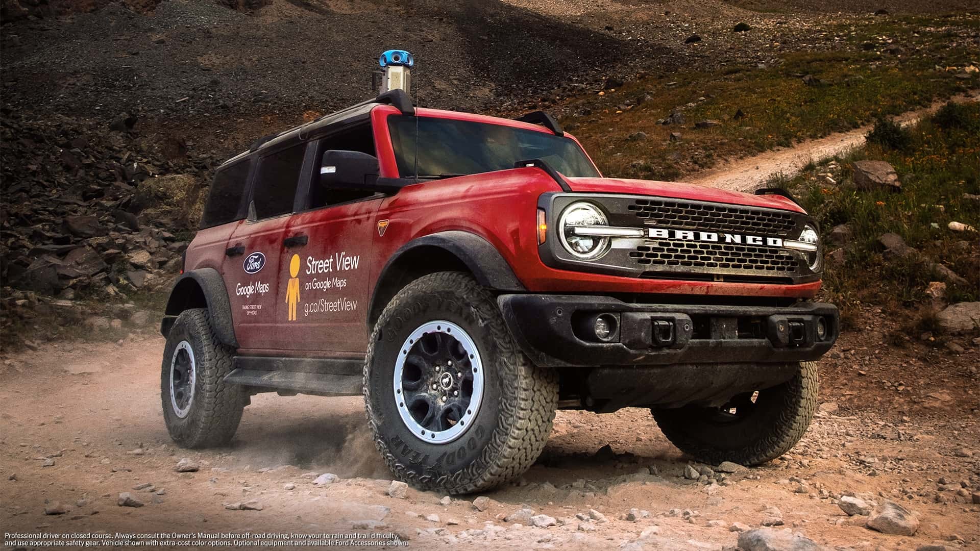
To make it happen, a Bronco was equipped with the latest version of Google’s Street View camera. The off-roader spent 35 days crossing 13 states, capturing everything from backcountry roads to truly remote terrain. It wasn’t alone on the journey, as an Expedition Tremor and a Ranger served as support vehicles throughout the 5,900-mile trip.
The full TAT is now on Street View, making it easier for off-road enthusiasts to plan their adventures. The cross-country journey started in Port Orford, Oregon, and ended in Nags Head, North Carolina, and mapped several points of interest along the way, including the Ophir Pass in Colorado.

Ford is also launching a broader partnership with Google Maps, so it’s likely that more hard-to-reach areas across North America will be mapped using the sophisticated camera, which weighs less than 15 pounds. While the Expedition and Ranger didn’t carry those cameras, the project proves that Ford’s SUV and pickup can tackle the entire TAT.
Unveiled in 2022 and rolled out a year later, the latest-generation Street View camera can be paired with a laser scanner and is compatible with nearly any vehicle that can accommodate a roof rack. Mapping the full TAT marks the first time Google has partnered directly with an automaker to chart a route.
Ford Bronco with Google's Street View camera


