ORLANDO, Fla. _ A slight wobble in the track of Hurricane Matthew early Friday morning may have saved Florida from potentially catastrophic conditions and instead turned the storm into a major _ but still dangerous _ wind and rain machine.
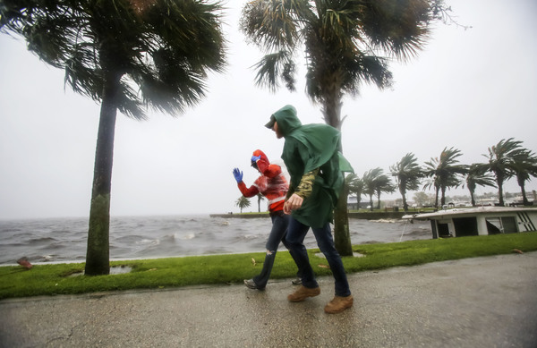
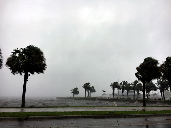
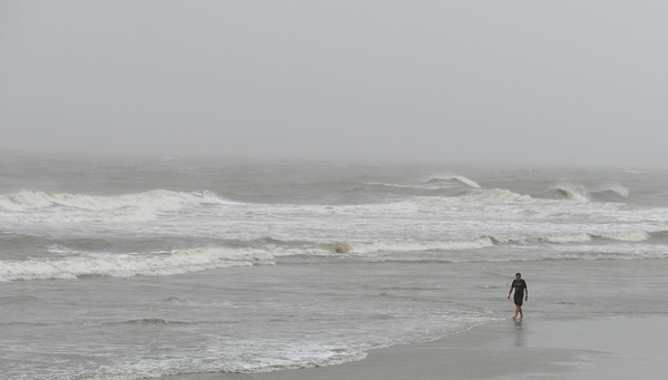
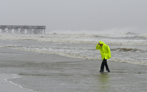
The storm's eye has become slightly disorganized as it dropped to a Category 3 hurricane with winds of about 120 mph. At 7 a.m., the center was located about 35 miles east of Cape Canaveral as it chugged north toward Jacksonville and Georgia.
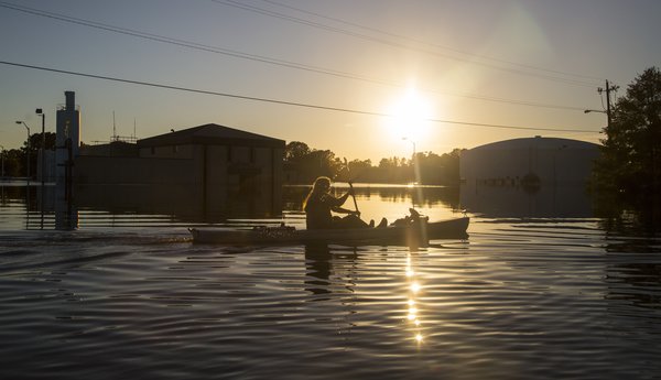
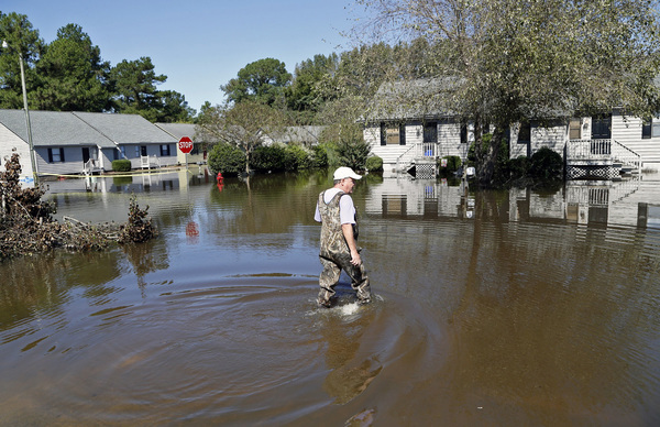
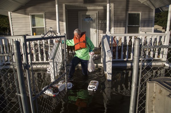
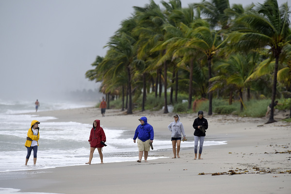
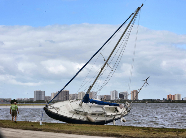
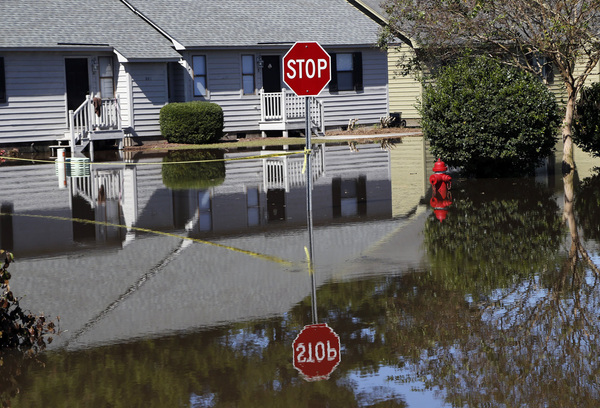
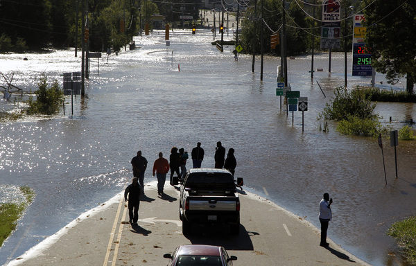
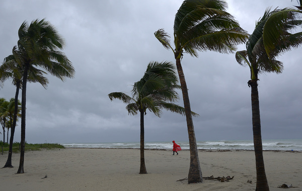
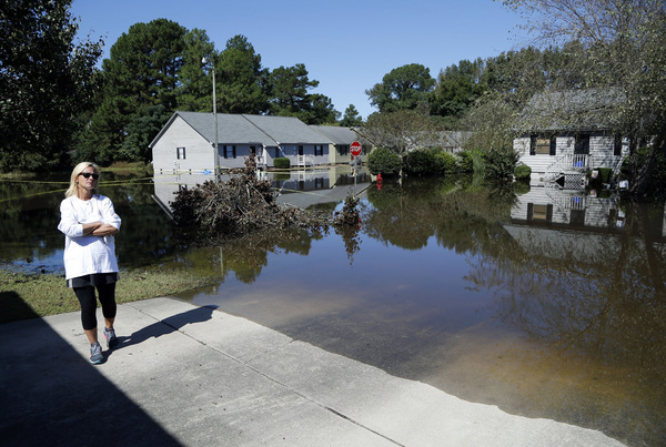
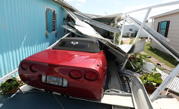
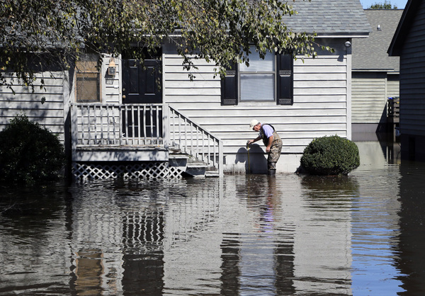
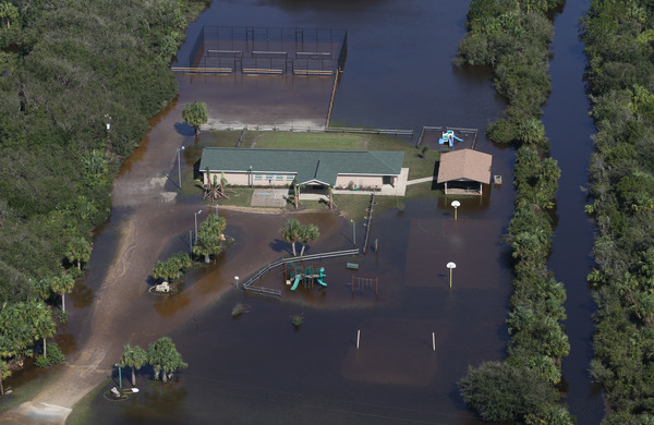
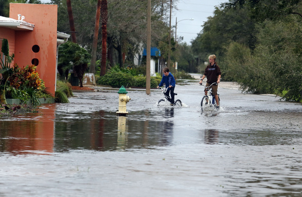
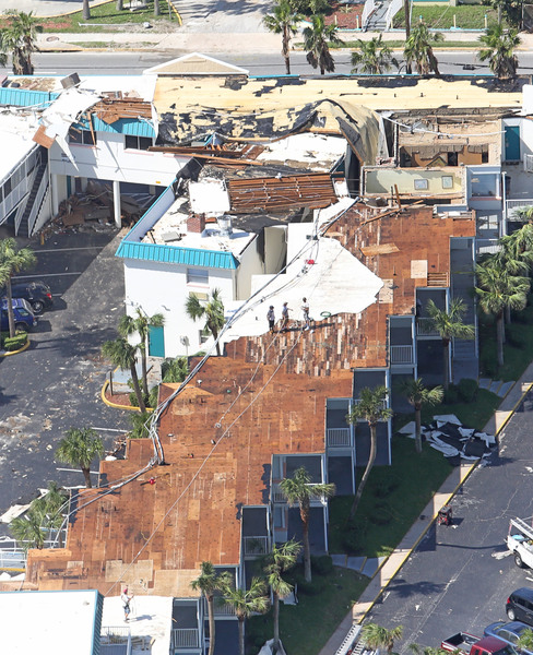
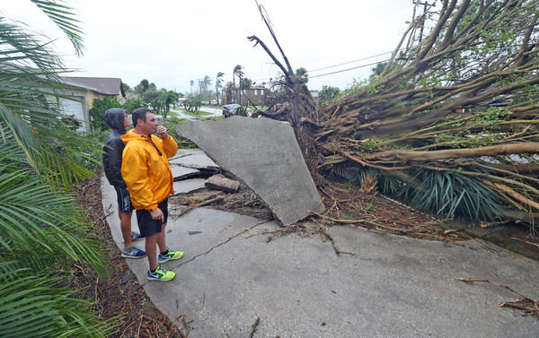
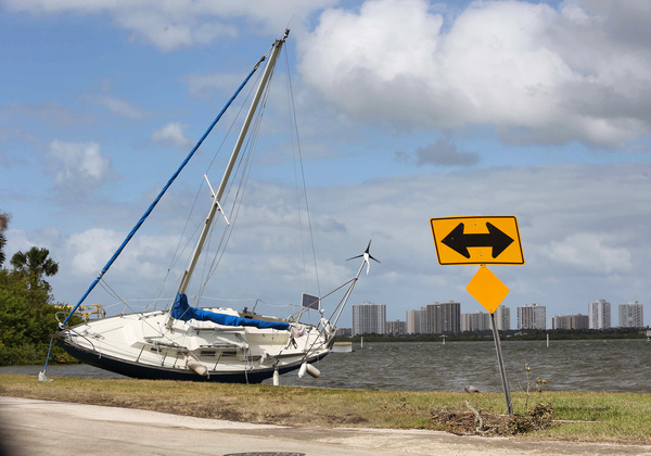
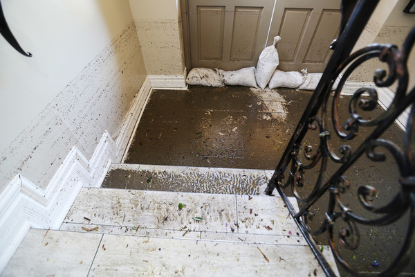
Residents of south and central Florida awoke to find high winds and minor flooding but not the kind of devastation that claimed at least 283 lives in Haiti, where the storm sustained winds of 140 mph.

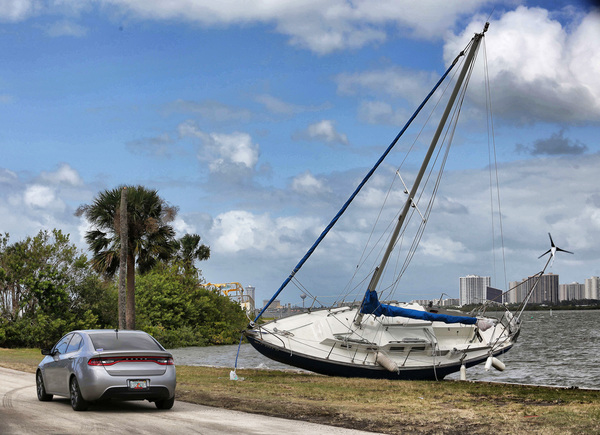
No major damage was reported in south Florida although that could change as officials inspect the area in daylight.
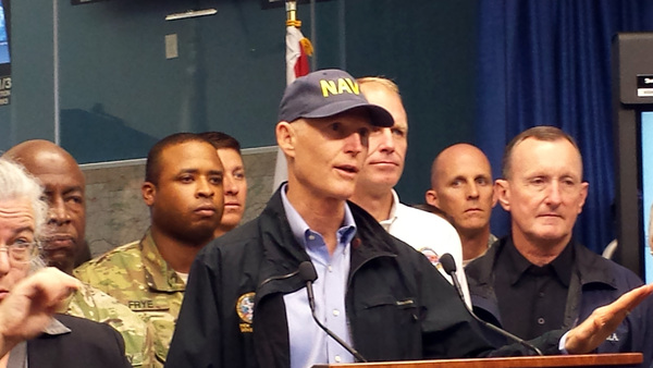
"As far as Dade and Broward are concerned, I think we were damned lucky," Dennis Feltgen, a spokesman for the National Hurricane Center, said of the Miami-Fort Lauderdale area.
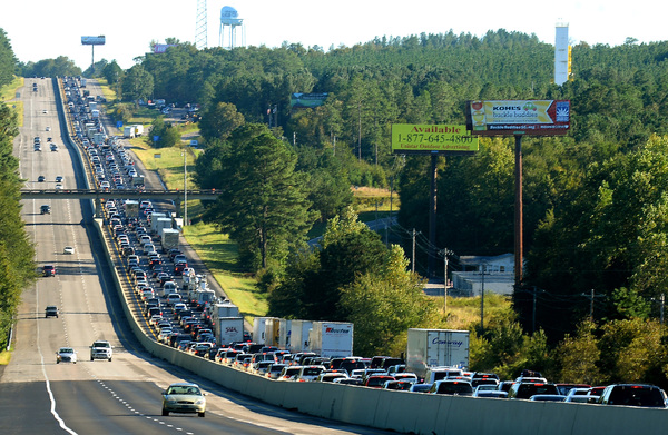
Both the Miami and Fort Lauderdale airports as well as the Port Everglades cruise ship terminal were expected to reopen on Friday. In central Florida, the Sanford-Orlando Airport was expected to remain closed all day but it was hoped that the larger Orlando International Airport would be able to have limited service by day's end. Disney World closed for only the fourth time in its history. Sea World and Universal were also closed on Friday.
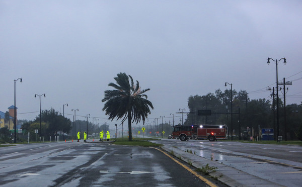
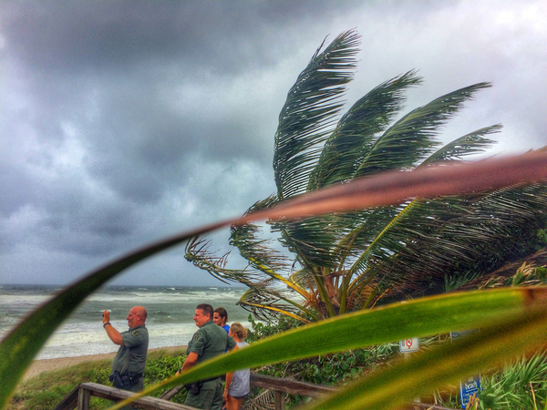
Central Florida will continue to deal with Matthew Friday morning although forecasters said the area "dodged a bullet" because the strongest part of the storm stayed offshore.
"There was no landfall," said Scott Kelly, a meteorologist for the National Weather Service in Melbourne, Fla.
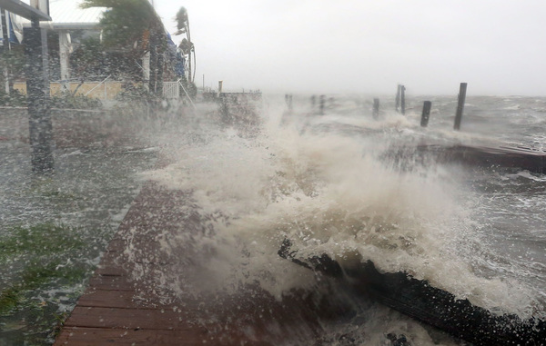
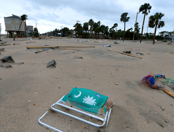
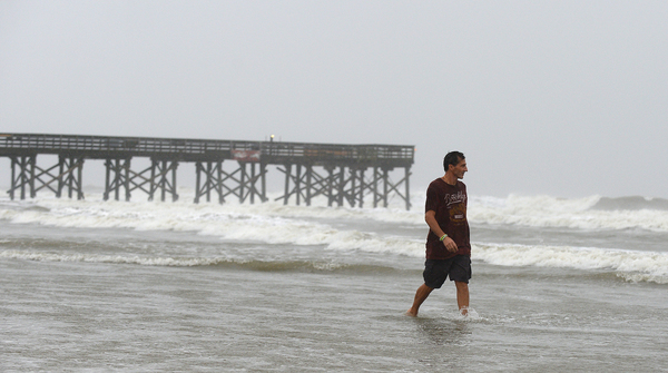
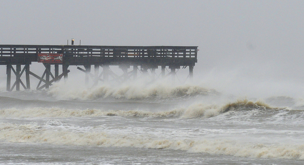
Cape Canaveral was slapped with gusts of 115 mph around 5 a.m., and the more populated Melbourne area reported winds of 77 mph. Kelly said the weather service expects coastal areas and barrier islands to take the worst of the storm.
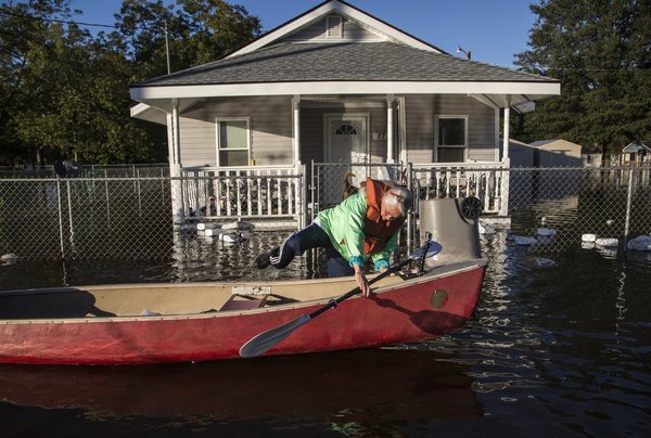
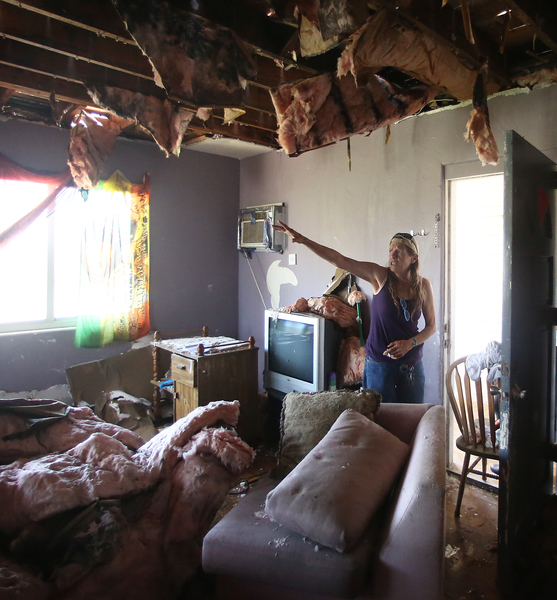
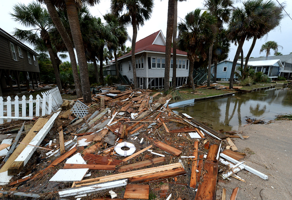
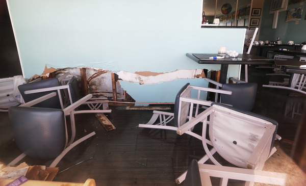
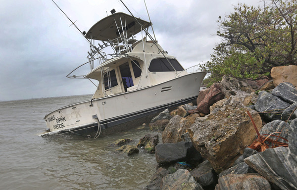
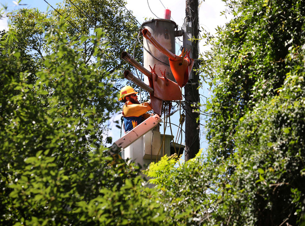
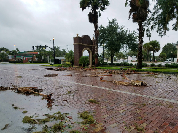
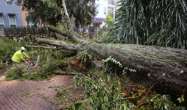
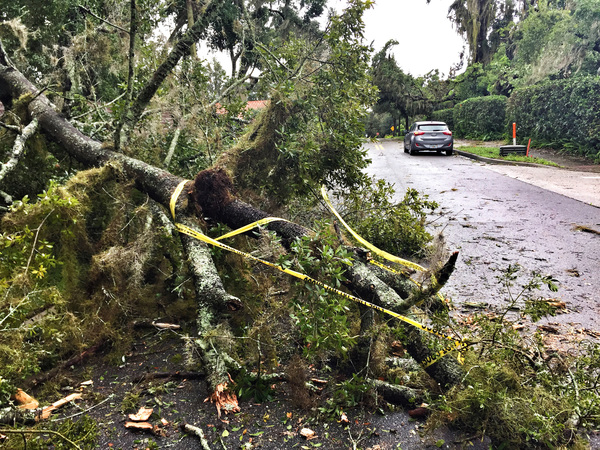
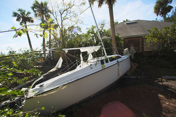
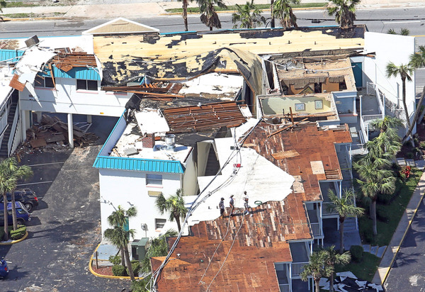
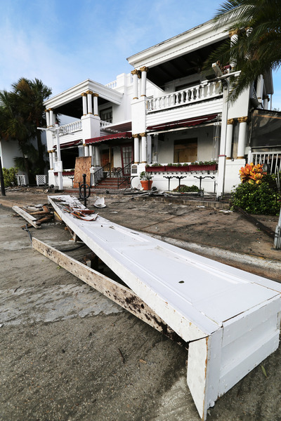
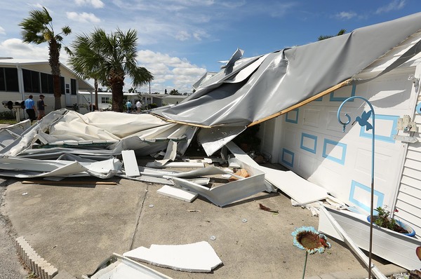
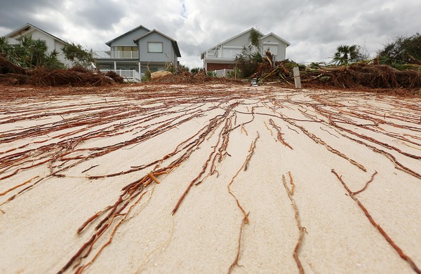
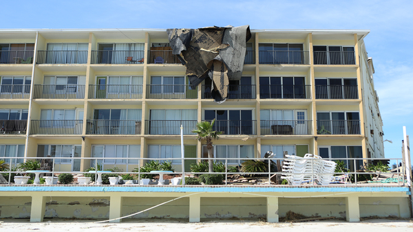
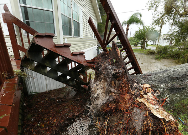
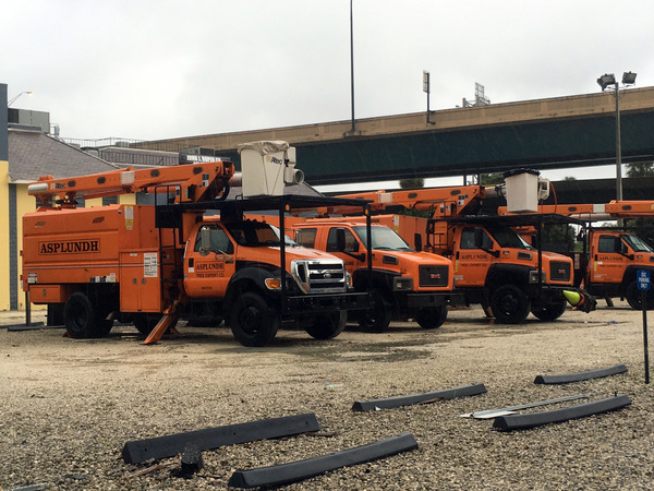
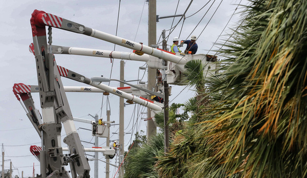
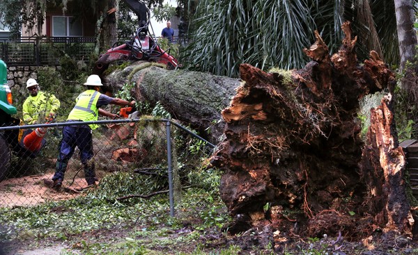
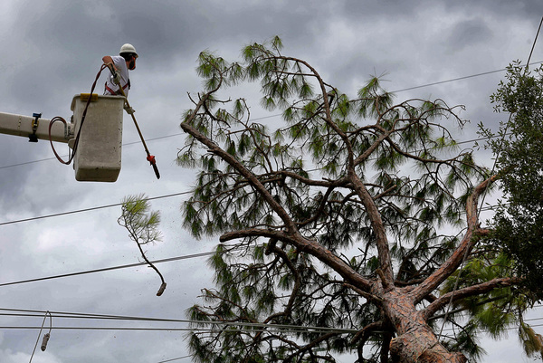
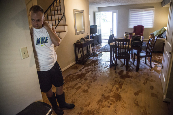
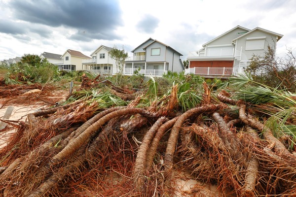
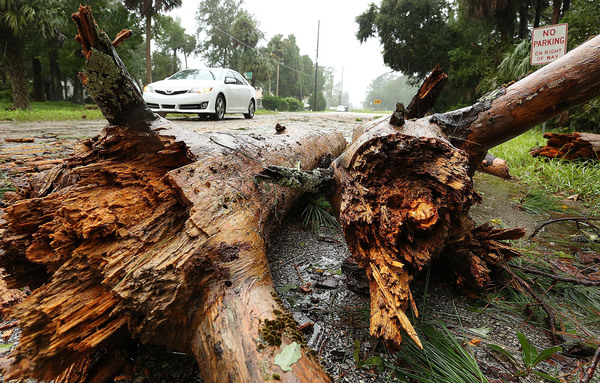
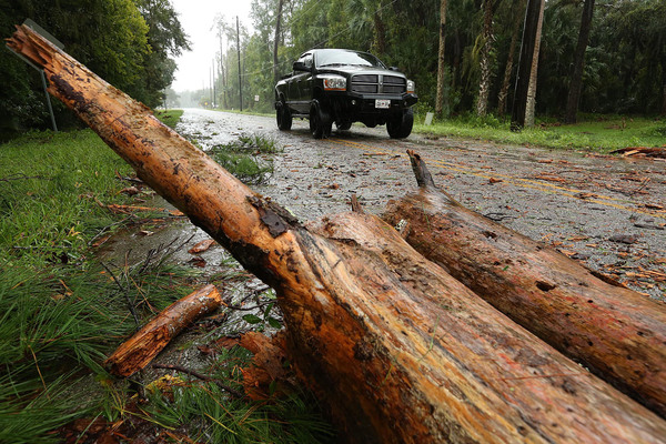
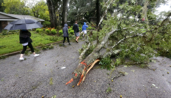
Most of the damage in Brevard County, which for decades has been the home to the space program, was restricted to blown-out windows and downed trees and power lines.
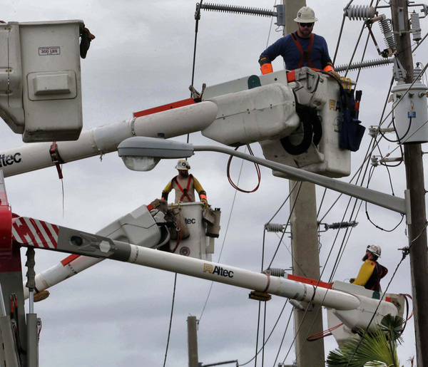
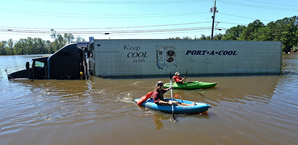
More than 400,000 people were without power in the state. Almost 150,000 of those were in Brevard County.
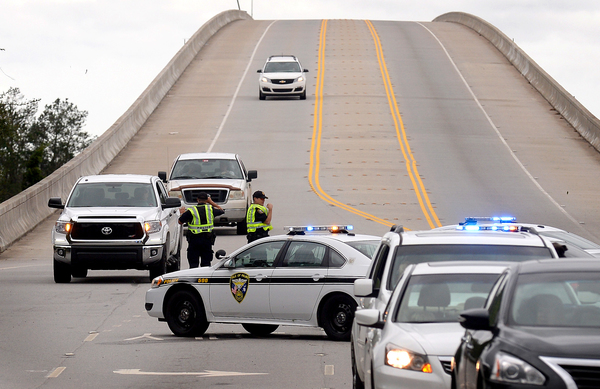
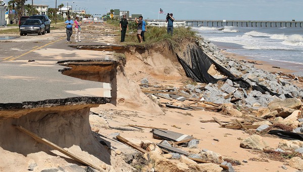
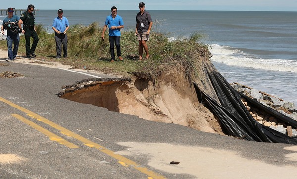
The storm will be passing off the coast of Daytona Beach by mid-morning as it makes its way north to Jacksonville. There were reports of trees falling on houses in Volusia County,but no damage assessment was immediately available.
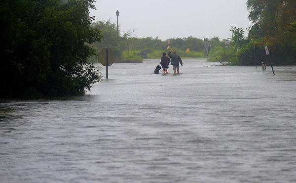
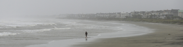
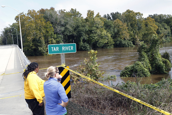
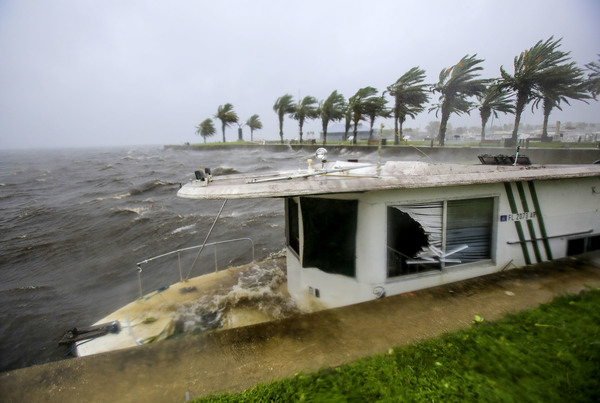
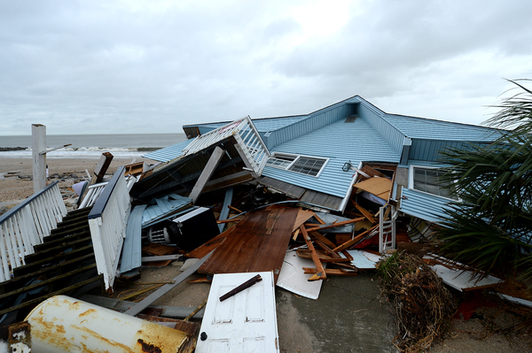
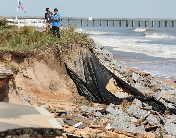
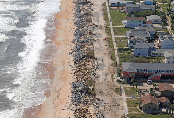
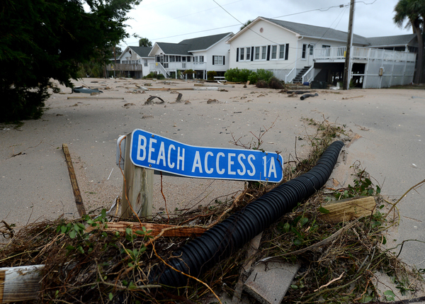
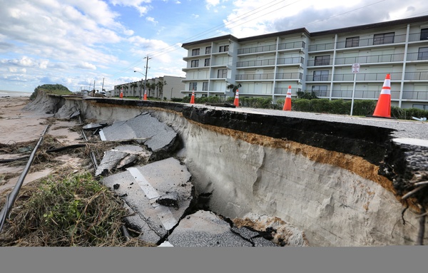
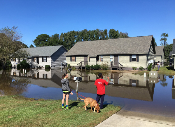
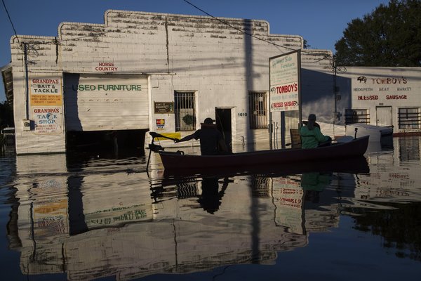
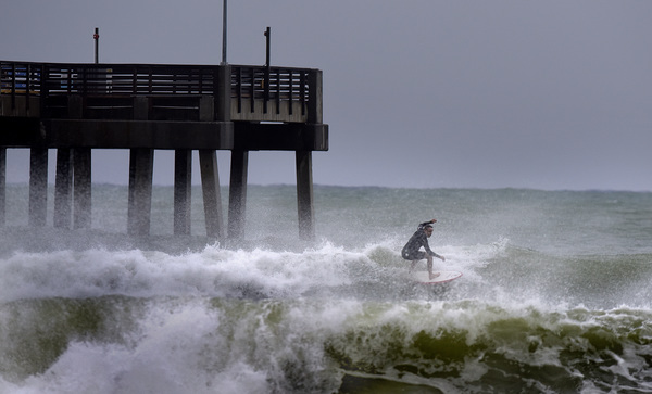
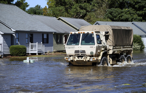
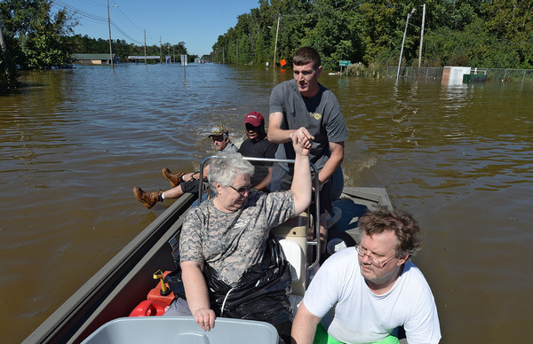
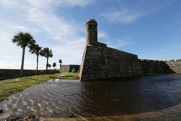
The major concern now is storm surge, which could reach 10 feet. Georgia and South Carolina seem especially vulnerable as the U.S. coastline jogs significantly to the east. Florida's geography turned out to be a plus. The state's seaboard coast slightly bends west, and with the storm moving due north, it put distance between land and the storm's eye.