Canberrans may be watching as blindingly bright clouds descend over the city on Monday, threatening to shadow the first week of January.
Despite mostly sunny skies, Canberra may experience a storm later on Monday, the Bureau of Meteorology says.
Monday is forecast to hit a maximum temperature of 28 degrees, with Canberra Airport recording a temperature of 17.4 degrees at 9am.
But despite relatively warm weather, the BOM said showers and thunderstorms are still possible.
Thankfully, a warning issued on Sunday for severe thunderstorms has been retracted.
However, there is still a chance of showers in coming days.
There is a very high chance it will rain on Tuesday, most likely in the afternoon and evening and the possibility of a thunderstorm.
Canberra forecast
- Monday: Max 29. Mostly sunny morning
- Tuesday: Min 14. Max 30. Partly cloudy
- Wednesday: Min 15. Max 22. Cloudy
- Thursday: Min 10. Max 23. Partly cloudy
- Friday: Min 8. Max 23. Partly cloudy
- Saturday: Min 8. Max 23. Partly cloudy
- Sunday: Min 9. Max 27. Cloud clearing
- Source: Bureau of Meteorology
The clouds should remain on Wednesday and Thursday, with a medium chance of showers on January 4.
Friday will remain relatively cool with a minimum of 10 degrees and maximum of 23 degrees, and winds southeasterly turning easterly at 20 to 30km/h in the daytime.
Clouds will start to clear for the weekend, with a maximum of 23 degrees on Saturday and 27 degrees on Sunday.
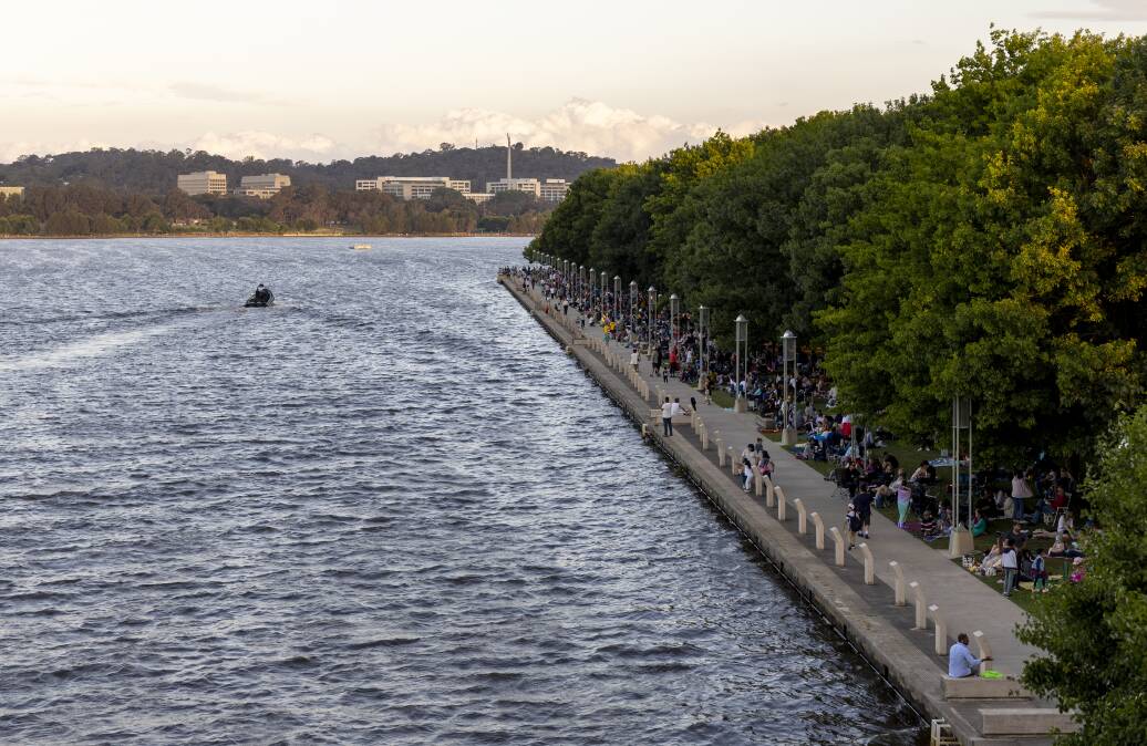
Many Canberrans will be holidaying around NSW, or considering whether to make a trip down to the South Coast.
"A low pressure trough lies over western New South Wales and a high pressure ridge extends along the coast," BOM said.
"This pattern is likely to persist for the start of the week and will bring unsettled conditions to the east of the trough and cause heatwave conditions in the far west.
"The trough is forecast to move over eastern parts of the state through the middle of the week."
There is a medium to high chance of rain in Batemans Bay from Tuesday to Friday, though the weather on the weekend is forecast to be cloudy with a maximum temperature in the mid 20s.
The far-western NSW town of Menindee, south east of Broken Hill, is expected to see a record flood peak on Monday of 10.7 metres.
We've made it a whole lot easier for you to have your say. Our new comment platform requires only one log-in to access articles and to join the discussion on The Canberra Times website. Find out how to register so you can enjoy civil, friendly and engaging discussions. See our moderation policy here.