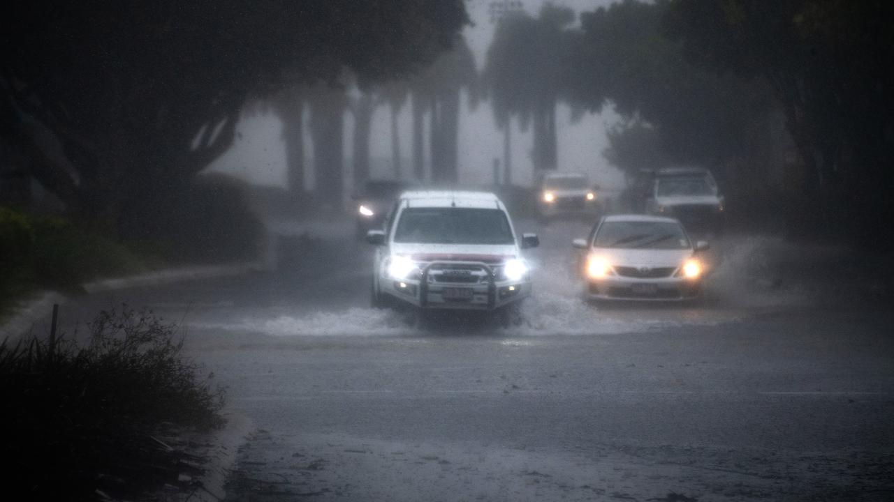
Sandbagging stations are open, and far north residents are bracing for a drenching, with a slow-moving monsoon expected to bring up to 700mm of rain.
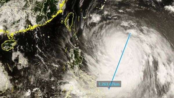
The large trough extends from the Northern Territory into Queensland and is bringing widespread rain and thunderstorms as it continues to intensify.
Flood warnings are in place, as rising waters could isolate communities and strand unwary travellers.
The heaviest falls will be concentrated in Queensland's Gulf Country, affecting Mount Isa and Julia Creek, the Bureau of Meteorology said on Sunday.
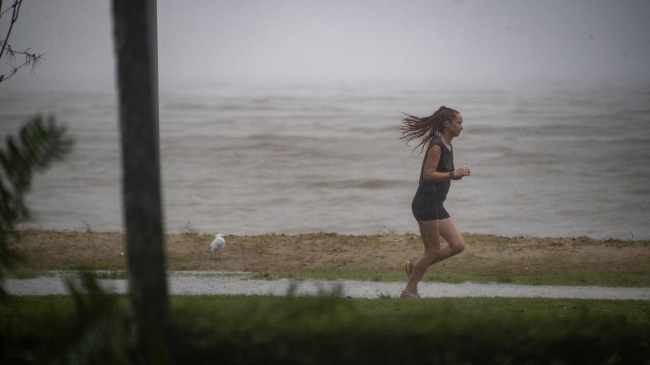
Residents along Queensland's tropical coast from Cairns to north of Townsville are also on alert.
"For this stretch of the coast, peak six hourly rainfall totals will build from Sunday night into Monday, and could reach between 120 to 200 millimetres," forecaster Jonathan How said.
"Thunderstorms could deliver even higher rainfall totals, and we expect heavy rain to continue through Monday and possibly beyond."
The bureau said heavy rain and flooding would pose a risk to property and life, bringing road closures and community isolation for outback and more remote communities.
Rainfall totals will continue to climb as the weather system moves across the state with up to 700mm falling in isolated areas, Mr How said.
Sandbagging stations have opened in the Mt Isa and Hinchinbrook areas, with locals urged to take added precautions.
Popular tourist destination Hinchinbrook remains in the firing line, and Mayor Ramon Jayo said the worst was expected from Monday.
"Despite the extensive rain experienced ... river levels remain below minor at the present time and modelling suggests that the most likely scenario is that some will remain about such level into Monday morning at this stage," Mr Jayo said on social media.
"However, it is critical to understand that this circumstance may change rapidly dependent upon where the convergence settles and (what) rainfall is experienced and this situation will be monitored closely."
Residents in low-lying areas have been urged to protect their property if drainage systems struggle to clear water in torrential downpours.