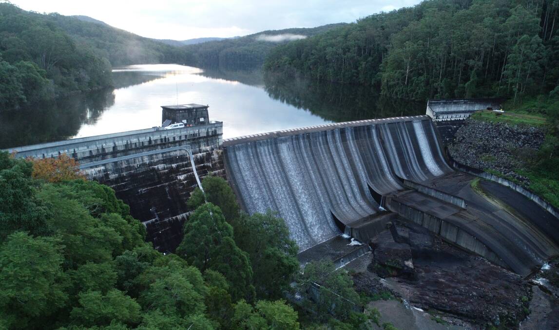
New satellite technology has been deployed to monitor changes at two of the Hunter's largest water storages.
Hunter Water recently engaged Australian company Detection Services in partnership with United Kingdom-based analytics experts Rezatec to provide insights into dam levels at Chichester and Grahamstown dams.
"We receive high-quality data showing any changes on a very fine scale, which gives us increased confidence in our dams' integrity and allows us to proactively manage the assets," Dam safety engineer Daniel Turnbull said
"Satellite monitoring minimises the fieldwork required, reducing the exposure of our people to potential hazards. "This is particularly relevant when you realise Grahamstown Dam has a public road along its crest with an 80-kilometre-per-hour speed limit, and the terrain around Chichester Dam is steep and heavily forested."
Mr Turnbull other technologies, such as drones, were not able to offer the same level of insight.
"Drones just can't achieve the millimetric accuracy of satellite data," he said.
"Our comparisons showed drones can pick up potential movement with sensitivity of 20 to 30 millimetres, whereas satellite data detects movement of one to two millimetres. For dams, that's hugely significant."
Chichester dam is currently at 99.9 per cent full, while Grahamstown is 96.8 per cent full.

.png?w=600)