After two months, the Government has finally updated a map of Ireland which shows the exact location of Covid-19 cases.
The interactive chart allows the public to see how many positive cases of the coronavirus there have been in each town, village, city and townsland.
It breaks down the amount of infections each "electoral division" has seen to date - but it does not show active cases.
The data used for the graph is correct up to midnight last Wednesday, August 12, so any new cases since then won't be displayed.
The chart allows people to zoom in and out of different regions and see which parts of counties have experienced the most infections.
You can also enter your Eircode and the map will show them how badly your locality has been affected by the outbreak.
The map can be accessed by clicking here and scrolling down to the heading entiltled Geographic Distribution of COVID-19 Confirmed Cases.
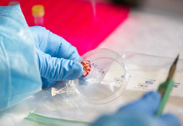
Meanwhile, health officials on Saturday reported the highest daily increase in positive tests since the beginning of May.
Acting Chief Medical Officer Dr Ronan Glynn announced no new deaths but 200 new confirmed cases.
This spike saw the total number of infections in the Republic rise to 27,191.
Of the new cases there were 56 in Dublin, 81 in Kildare, 13 in Tipperary, 8 in Limerick, 6 Laois, 6 in Galway, 5 in Kilkenny, 5 in Meath and the rest of the 20 cases are in Carlow, Clare, Cork, Donegal, Louth, Mayo, Offaly, Roscommon, Waterford, Wicklow.
The death toll as of Saturday, August 15, stands at 1,774.