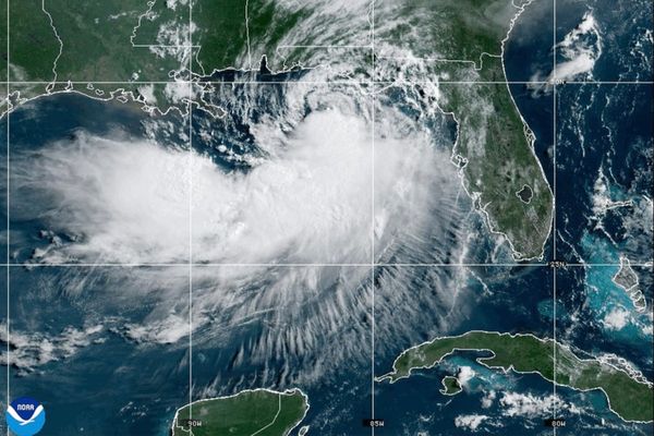
KOCHI: IMD has warned that an intense spell of rainfall is very likely to continue along the west coast during the next five days.
Several systems are playing a role in this rainfall activity. These include the influence of an off-shore trough from south Gujarat coast to north Kerala coast, a cyclonic circulation over the east central Arabian Sea off Maharashtra coast and strong westerly winds along the west coast.
The Met department has issued a warning of heavy rainfall (7cm to 11cm in 24 hours) is very likely to occur at isolated places in Kerala till June 29. Eight districts, including Ernakulam, Idukki, Thrissur, Malappuram, Kozhikode, Wayanad, Kannur and Kasaragod, are on yellow alert on Sunday.
Widespread rainfall activity will continue with yellow alerts for Ernakulam, Thrissur, Malappuram, Kozhikode, Wayanad, Kannur and Kasaragod on Monday.
Squally weather with wind speed reaching 40-50kmph gusting to 60kmph is likely to prevail over the Kerala coast. Fishermen are advised not to venture into the sea till June 28.
INCOIS has issued a high wave alert for the Kerala coast. High waves in the range of 3.0-3.3m are forecast till 23.30 hours on June 26 between Vizhinjam and Kasargod. Current speeds vary between 39-56cm/sec.
Rainfall has been widespread in the state. According to the 24-hour rainfall recorded on Saturday morning, Cherthala and Thalassery recorded the highest 9cm rainfall each. Vaikom and Vadakara received 7cm each.
Ernakulam South and Taliparamba received 6cm each, while Karipur airport, naval airport Kochi, Mavelikkara, Vythiri, Padinjarathara dam and Palluruthy received 5cm of rainfall each.