MIAMI _ Hurricane Dorian is passing Florida, but not before swiping the coast with tropical storm winds and several feet of storm surge.
Warnings and watches for Florida's northeast coast are downgrading and disappearing as Dorian picks up speed and heads north as a weaker but wider storm.
The storm was about 116 miles east of Jacksonville and is 180 miles south of Charleston, S.C., as a Category 2 storm with maximum sustained winds of 105 mph with higher gusts, according to the National Hurricane Center's 2 p.m. EDT Wednesday advisory.
The storm's center is moving north-northwest parallel to the northeastern coast of Florida at 9 mph, according to the National Hurricane Center. Hurricane-force winds extend up to 70 miles from the center with its tropical-storm-force winds are extending outward up to 175 miles.
Forecasters expect the storm to continue speeding up and losing steam as it heads north, where it could potentially swipe the coasts of Georgia and the Carolinas as a Category 2 storm, before dissipating in cooler northern waters.
While the damage has been minimal so far, state emergency officials are watching for flooding from rain and storm surge in northeast Florida and will send resources there as needed.
"We're not going to forget about North Florida," said Kevin Guthrie, deputy director of the Florida Division of Emergency Management.
The morning's emergency operations briefing in Tallahassee started with a moment of silence for victims in the Bahamas, led by Florida Division of Emergency Management Director Jared Moskowitz.
"Thankfully, obviously, the news out of Florida is positive," Moskowitz said. "But that came at the expense of the folks in the Bahamas. The pictures that are coming out of there are just unbelievable." He said he thinks the death toll in the Bahamas will rise "to an extremely high number."
"In fact, we may never really know what the number is out there," he said.
While those living along Florida's east coast saw some tropical and hurricane storm conditions, Florida was largely spared by the monster storm, which left devastation in the Bahamas. The U.S. Coast Guard continues to rescue people, and nonprofits and local governments throughout South Florida have begun collecting donations for Bahamians.
While Dorian is the only current threat to the U.S., the Atlantic basin is active, a sign that it's the annual peak of hurricane season. Tropical Storm Fernand is predicted to come ashore in northeast Mexico Wednesday afternoon with 45 mph winds. Tropical Storm Gabrielle, out in the eastern Atlantic, is strengthening but headed on a course north into the empty ocean.
Two other disturbances are floating around in the Atlantic _ one to the northeast of Bermuda and another expected to emerge from Africa's west coast as a tropical wave some time Wednesday. It has a 60% chance of developing into a tropical depression sometime this week, the NHC said.
WHAT IS DORIAN DOING NOW?
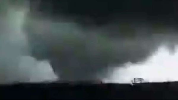
Florida is not in the storm's cone of concern but Dorian is still "dangerously close" to the southeast U.S. coast, according to the National Hurricane Center, increasing the risk of "life-threatening" storm surge, flooding rains, destructive winds, surf and rip currents along portions of Florida's east coast up to the Carolinas, regardless of the storm's expected track. Those living in the immediate east coast of Florida also have a chance for tornadoes through Wednesday night.
Those living in South Florida can breathe a sigh of relief, but those along the state's northeastern coast woke up to tropical storm conditions Wednesday morning. As of the 11 a.m. advisory, the hurricane warning in place for the Volusia/Brevard County line to Ponte Vedra Beach dropped to a tropical storm warning.
Forecasters expect to see 2 to 4 feet of storm surge from north of Port Canaveral to the Volusia/Brevard County Line and three to five feet of storm surge from the county line all the way up to the Savannah River. They also expect to see three to six inches of rain from Daytona Beach to the Georgia-South Carolina border.
WATCHES/WARNINGS
Parts of Florida are still under storm surge, hurricane and tropical storm warnings. Those warnings have also extended along the southeast U.S. coast.
_ A Storm Surge Warning is in effect for those living north of Port Canaveral, Florida to the North Carolina/Virginia border, Pamlico and Albemarle sounds and the Neuse and Pamlico rivers.
_ A Storm Surge Watch is in effect from the North Carolina/Virginia border to Poquoson, Va.
_ A Hurricane Warning is in effect for north of Savannah River to the North Carolina/Virginia border.
_ A hurricane watch is in effect for north of Ponte Vedra Beach, Fla., to the Savannah River.
_ A tropical storm warning is in effect from the Volusia/Brevard County line to the Savannah River.
_ A tropical storm watch is in effect for the North Carolina/Virginia Border to Chincoteague, Va., and from Chesapeake Bay from Smith Point southward.