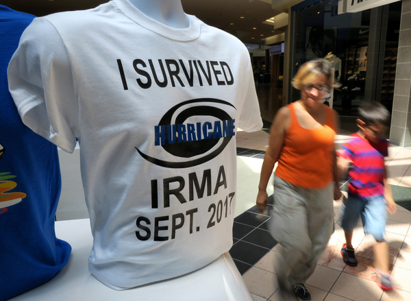
Hurricane Irma picked up speed Sunday afternoon with slower wind speeds and was expected to reach Naples, Fla., by nightfall.
National Hurricane Center forecasters said the storm was moving north at 12 mph, up from 9 mph, and that maximum sustained winds dropped to 120 mph.
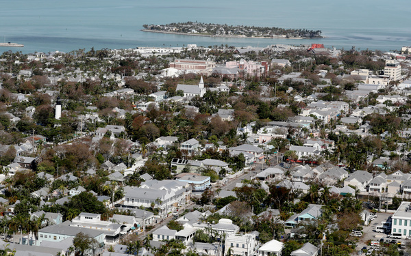
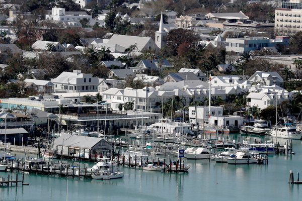
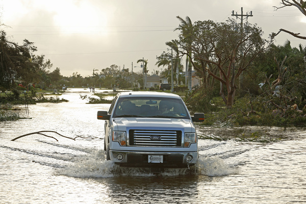
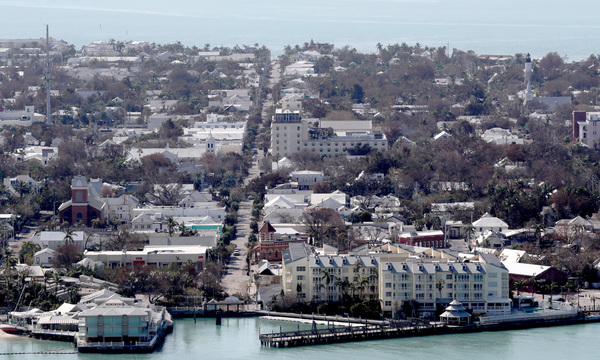
The storm's center was only 30 miles from Naples and on a direct path to hit it. Naples hasn't been hit by a hurricane since 1921.

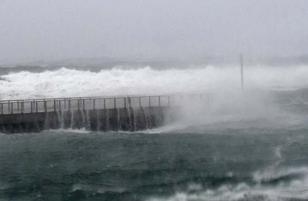
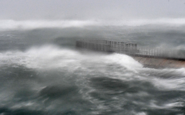
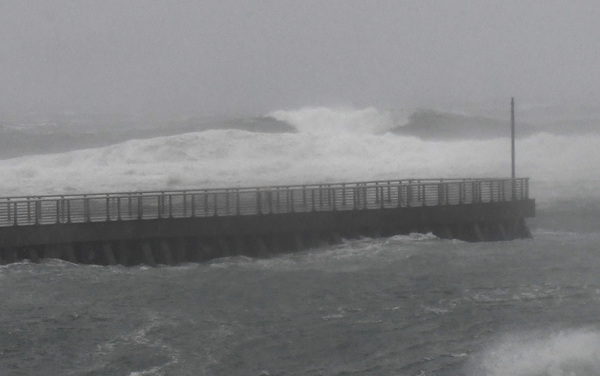
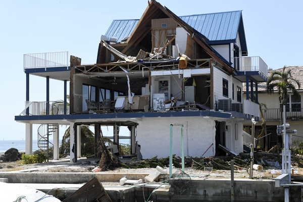
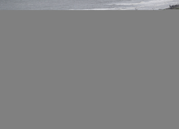
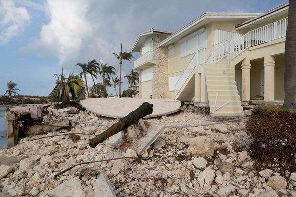
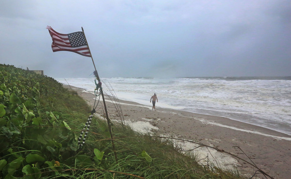
Deputy National Hurricane Center Director Mark DeMaria said even before Naples gets the expected 10-15 foot surge, Irma's massive core has sucked four feet of water from the beach.
DeMaria called the ocean subsiding "ominous" and said the water is "going to come roaring back."
"The greatest hazard at this point is the storm surge," he said.
He added that the storm "is really closing in on Naples. It's life-threatening and people need to stay where they are."
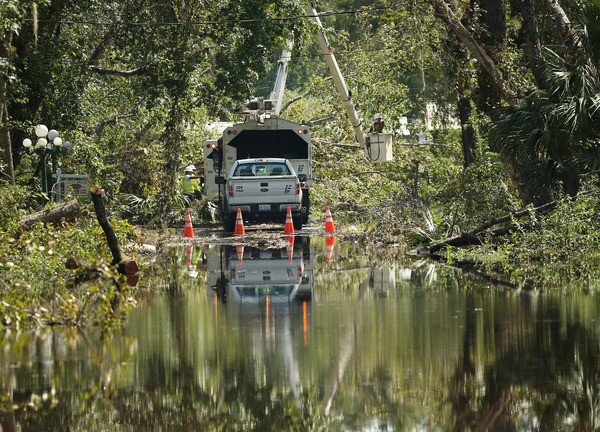
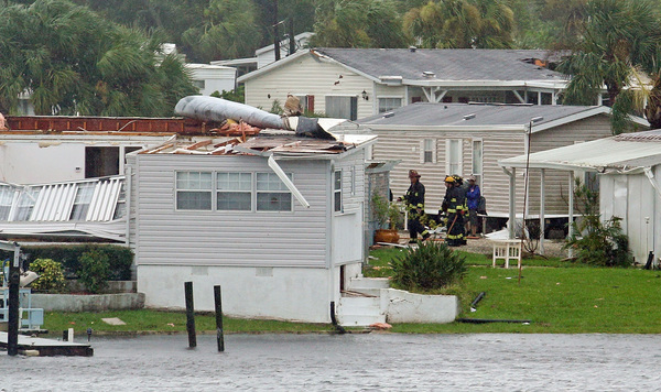
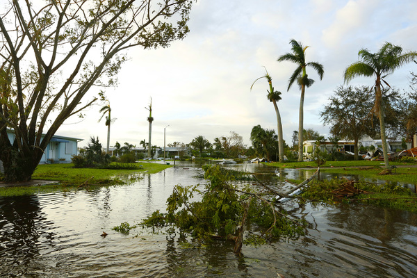
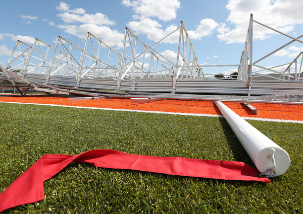
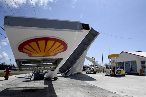
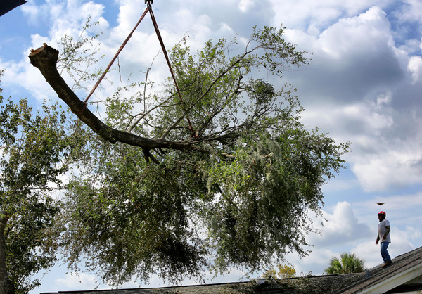
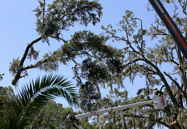
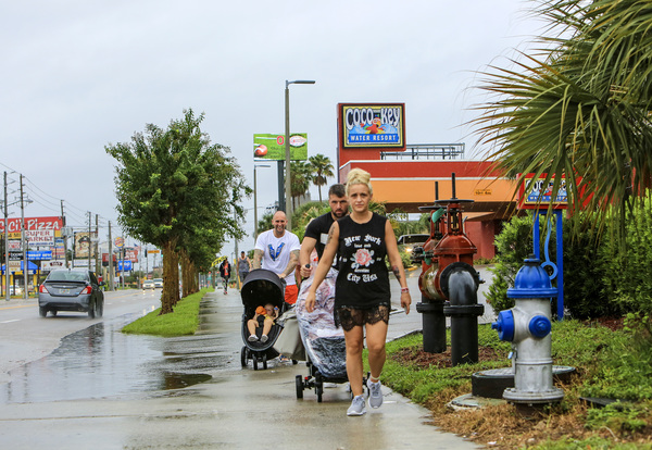
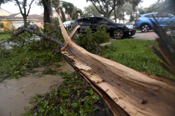
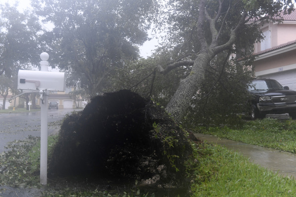
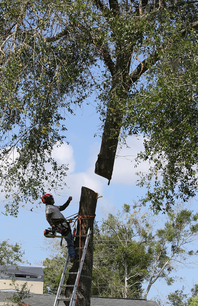
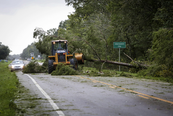
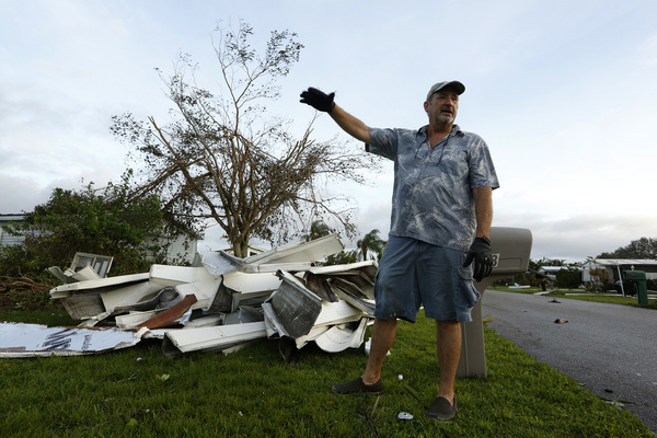
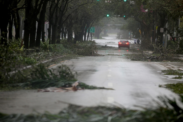
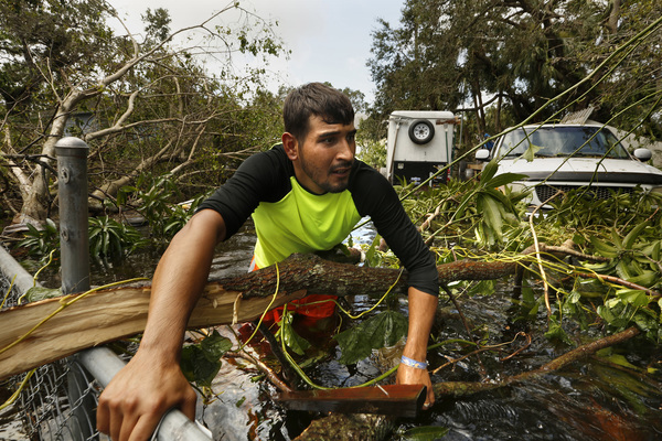
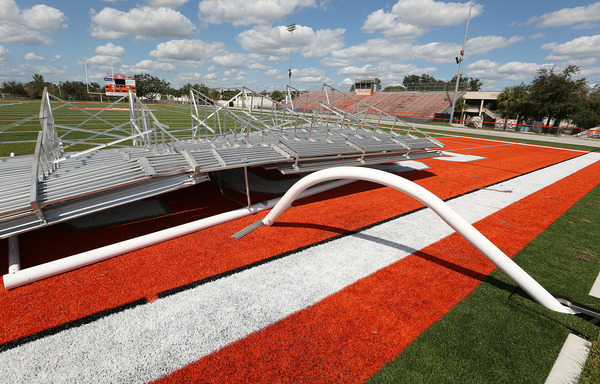
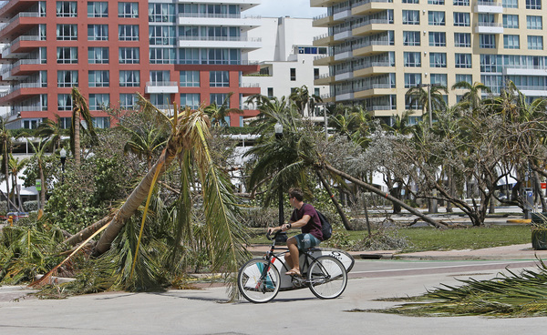
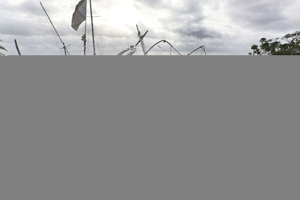
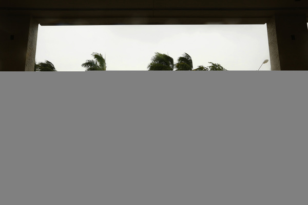
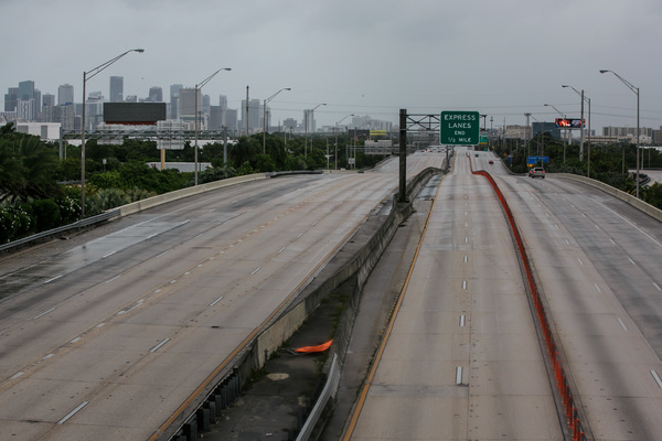
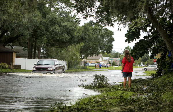
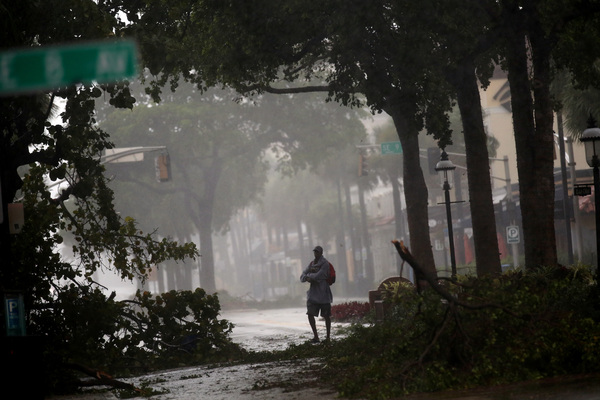
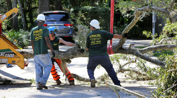
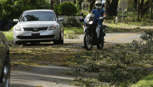
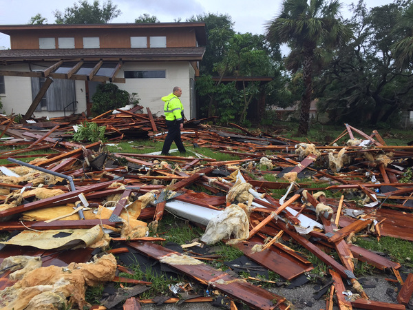
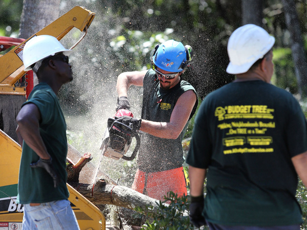
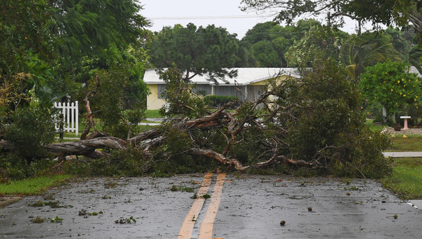
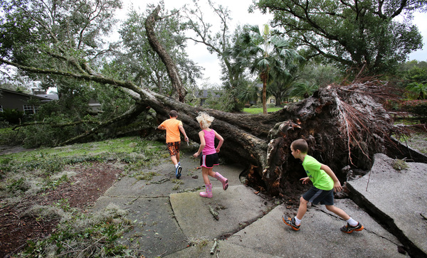
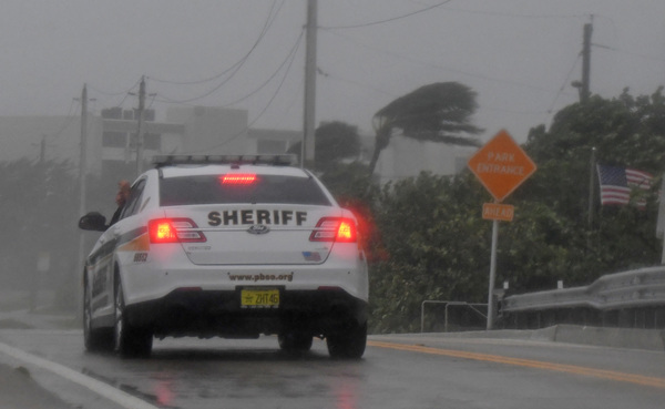
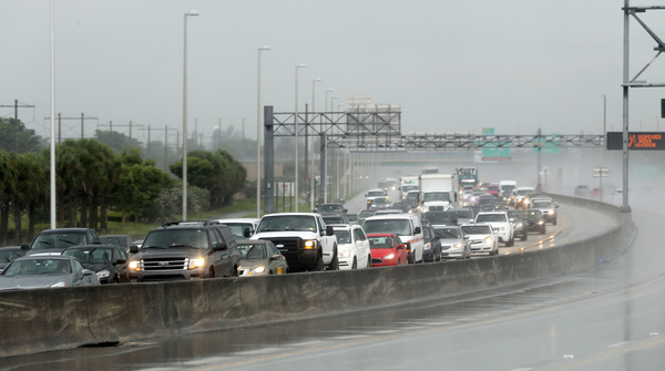
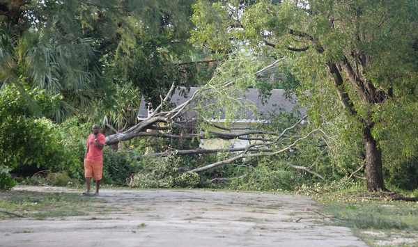
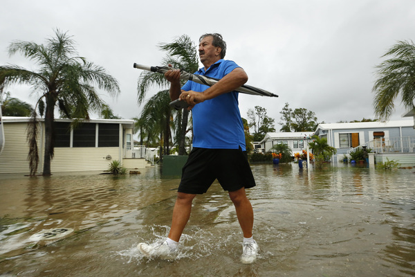
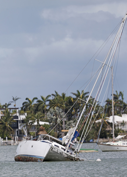
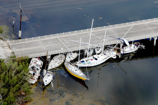
A wobble earlier in the day sent bands of stronger winds, with gusts reaching 100 mph, into Miami-Dade County. Later those winds reached into Broward County, toppling trees and power lines.
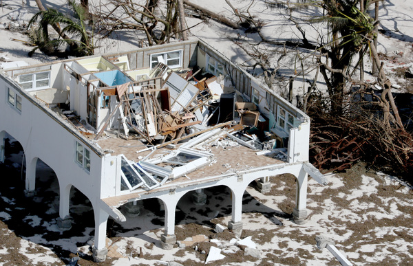
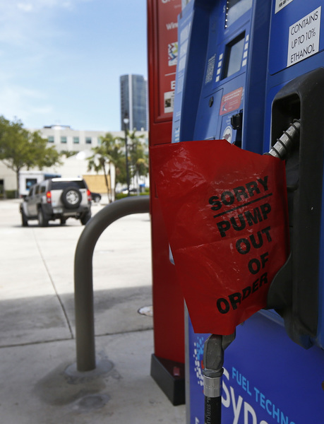
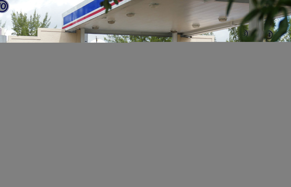
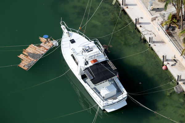
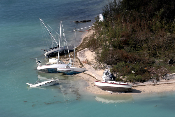
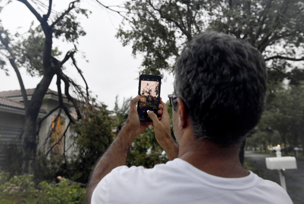
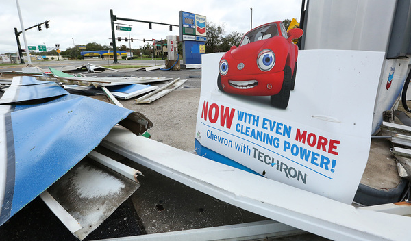
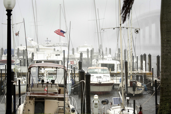
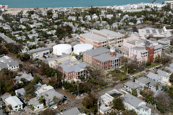
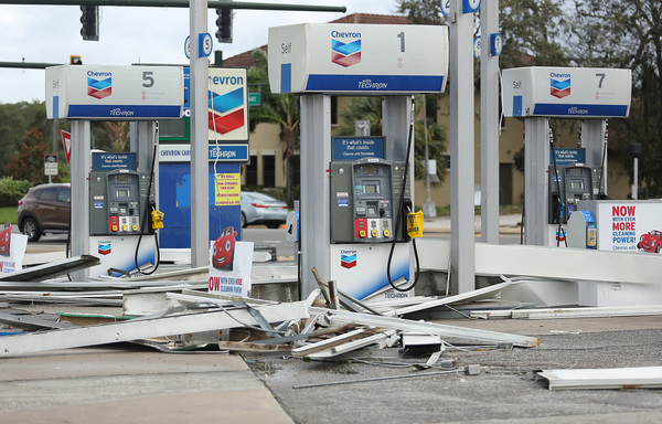
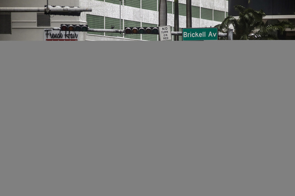
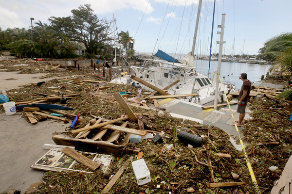
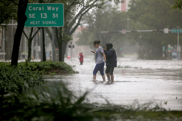
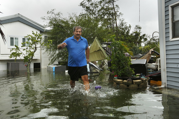
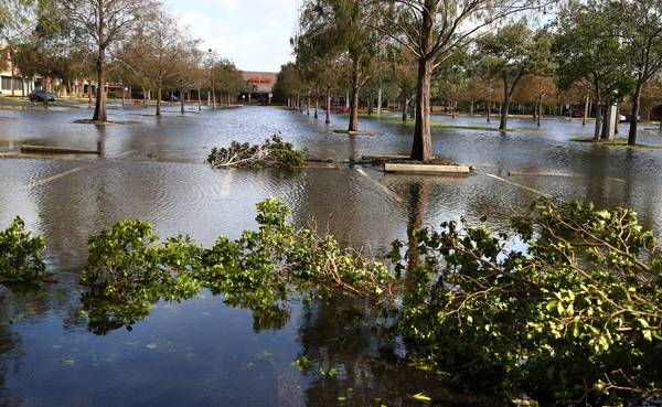
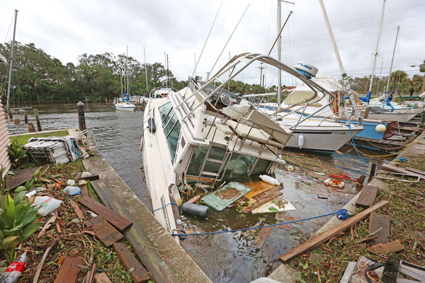
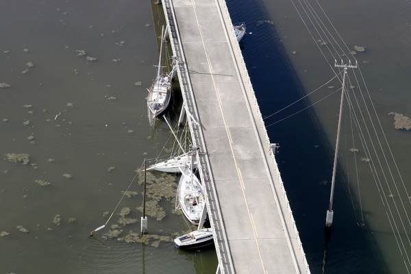
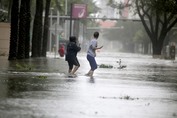
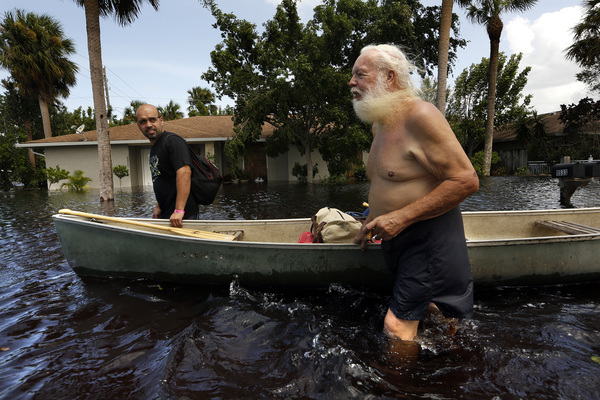
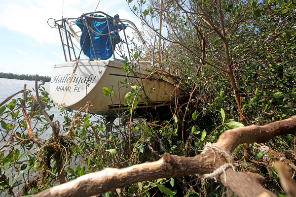
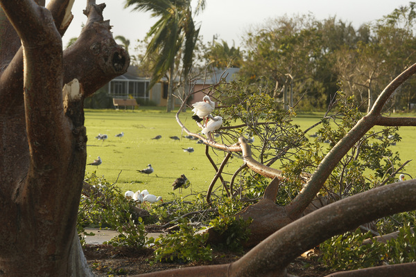
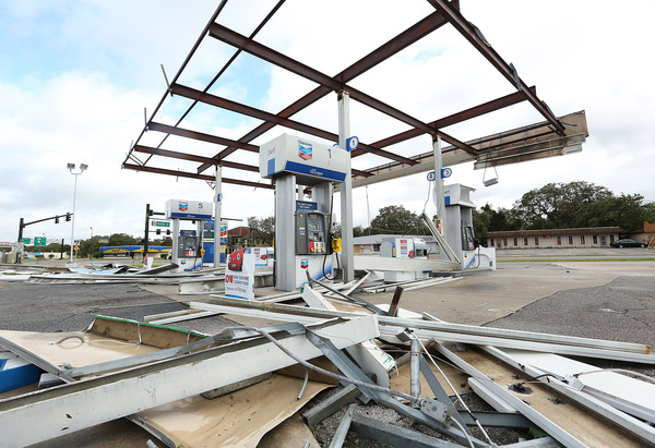
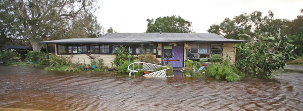
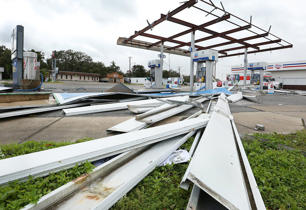
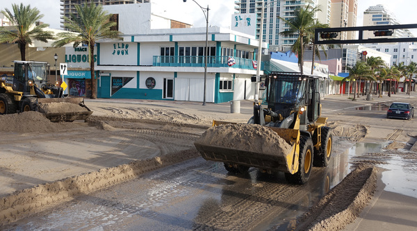
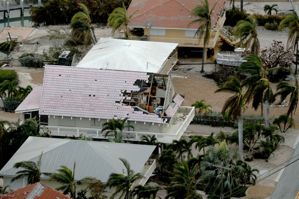
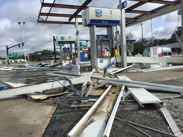
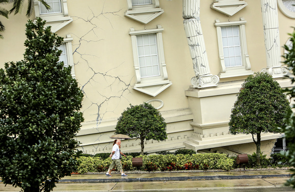
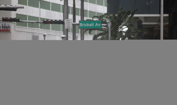
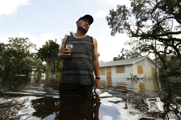
In Miami-Dade, Irma's fierce winds bent a construction crane in half, tore a roof off a gas station and left streets throughout the county littered with felled trees and palm fronds. The waters took their toll on Miami Beach and downtown Miami, leaving some areas in Brickell with waist-deep flooding.
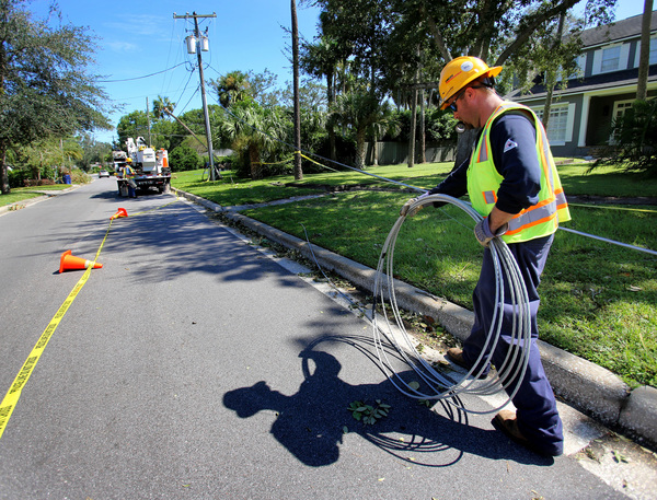
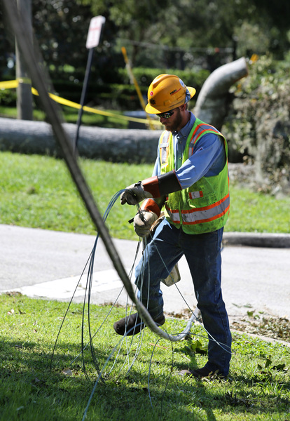
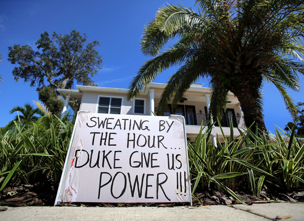
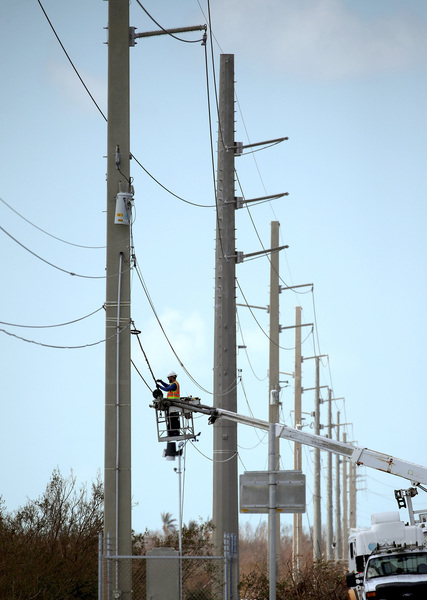
In Hialeah, Irma knocked out power at the regional sewage pump station. City officials asked residents to limit flushing and be aware sewage could back up into their homes.
Hurricane Irma's slight wobble to the right was not unexpected, DeMaria said Sunday afternoon.
The wobble, which kept Irma's eye within 100 miles of Miami-Dade County, meant the high sustained tropical storm winds and hurricane gusts that rocked southeastern Florida would continue into the evening.

DeMaria said the National Hurricane Center on the west campus of Florida International University, had recorded several gusts close to or over 100 mph.
If the powerful and large storm continues on its predicted track, DeMaria said, it would mean that by the time Irma leaves Florida, all of the state will have experienced strong tropical storm or hurricane winds.
The south to north scenario along a coastline that Irma seems to be taking has long been seen as the most problematic for Floridians because of the few places it leaves for residents to flee from the storm.
In Irma's case, traveling along the west coast, Southeast Florida gets the storm's "strong side," DeMaria said.
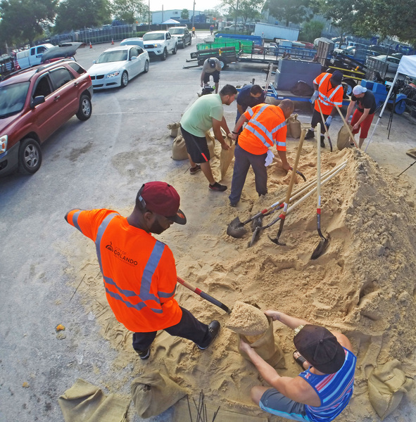
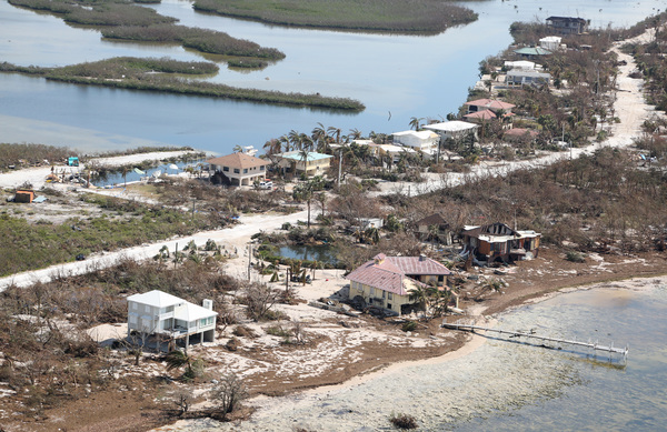
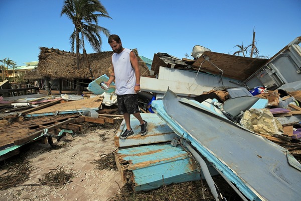
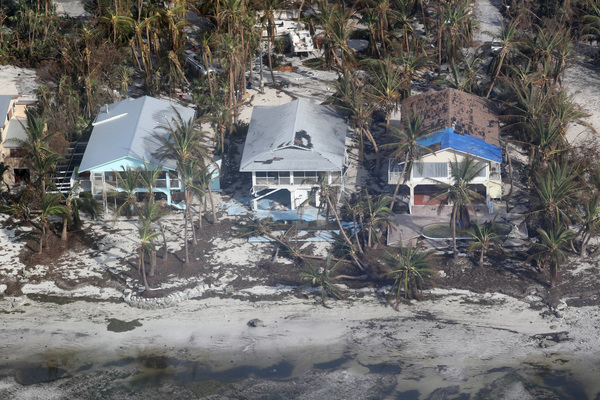
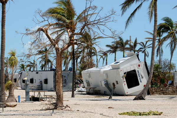
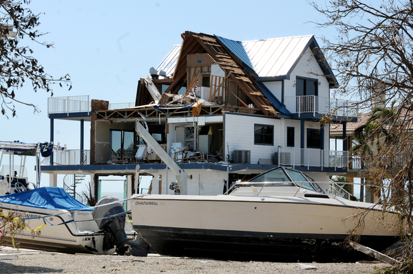
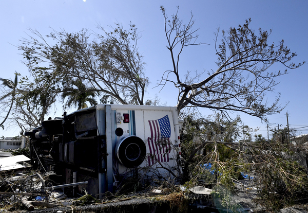
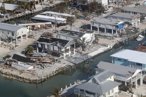
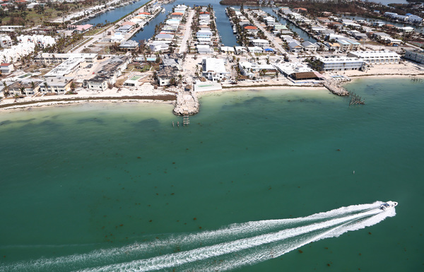
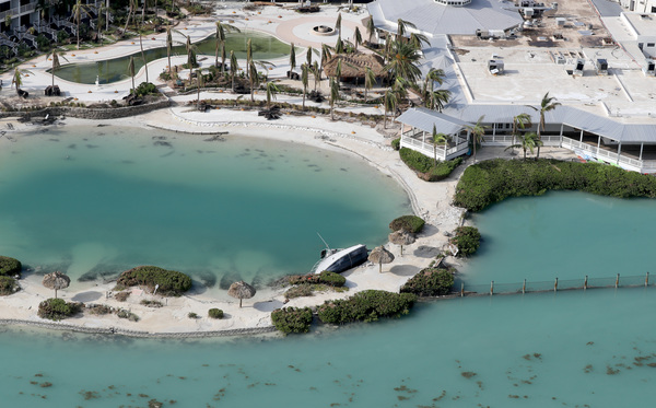
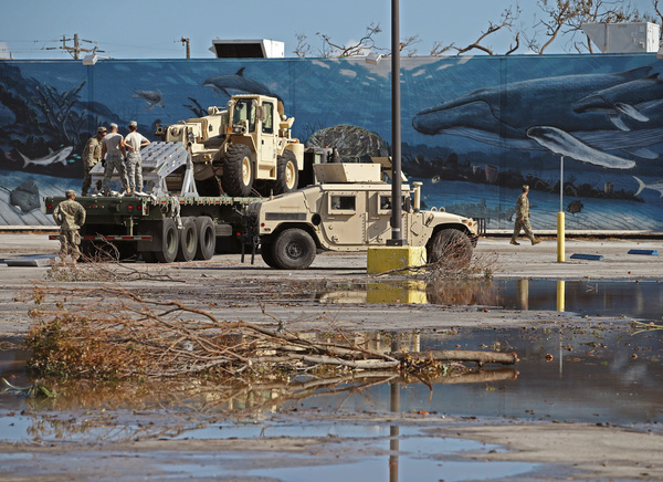
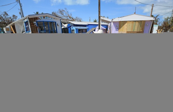
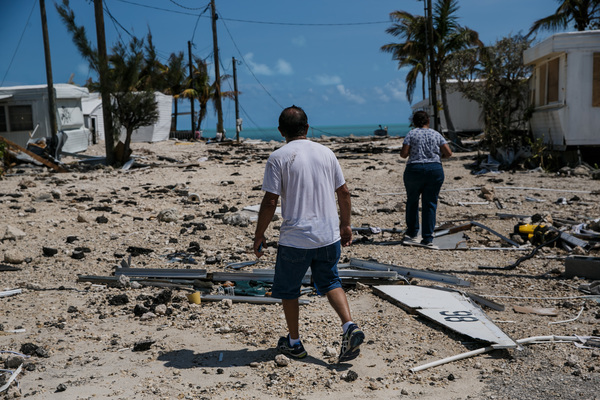
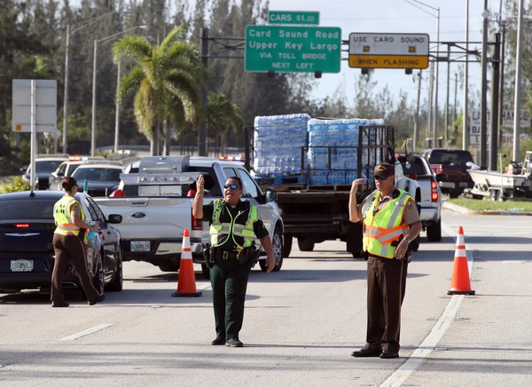
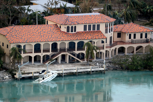
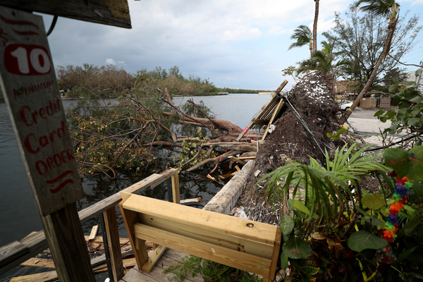
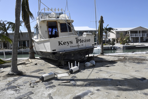
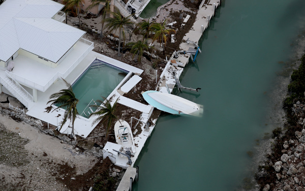
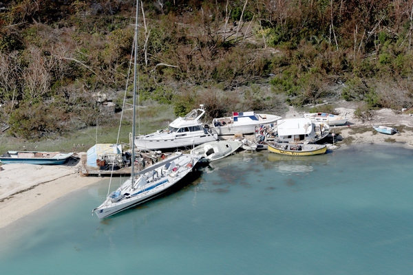
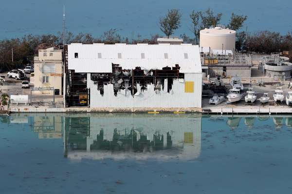
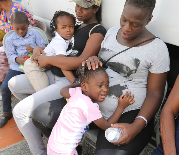
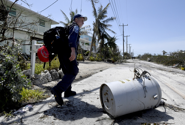
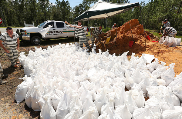
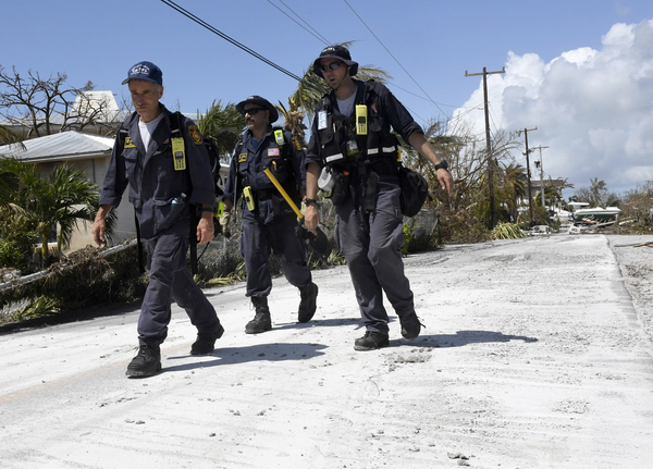
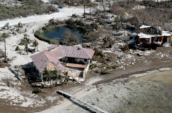
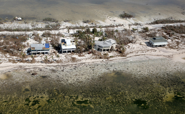
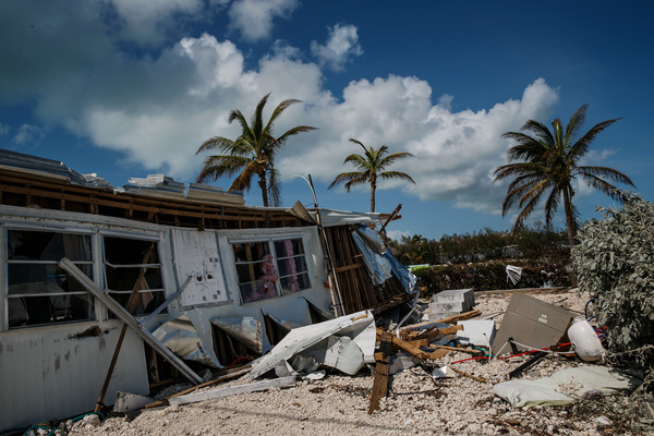
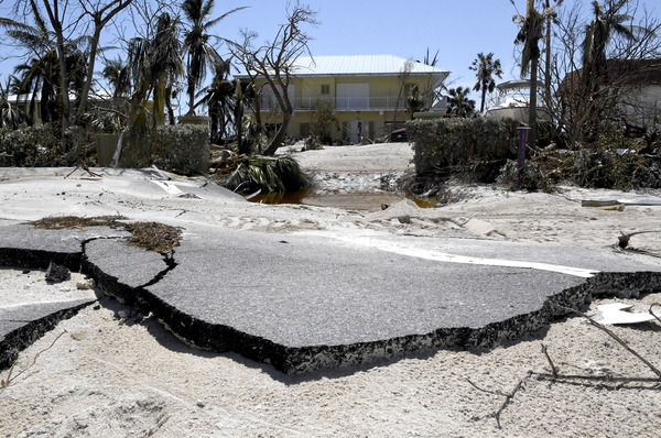
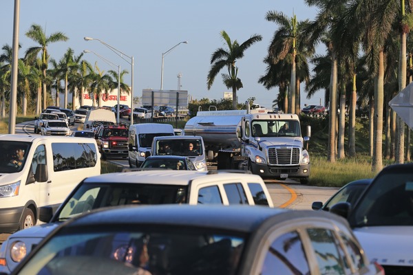
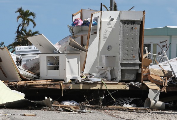
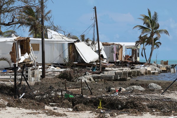
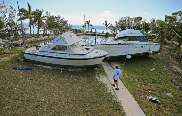
Irma arrived at Cudjoe Key just after 9 a.m. Sunday. Gov. Rick Scott asked for a major disaster declaration from President Donald Trump "to help bring important federal resources and aid to Florida" once Irma passes, he said.
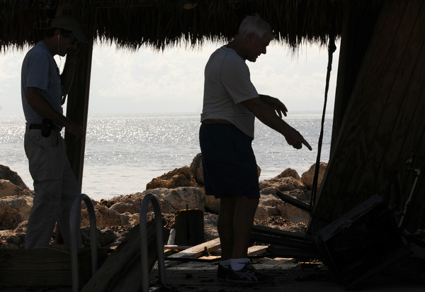
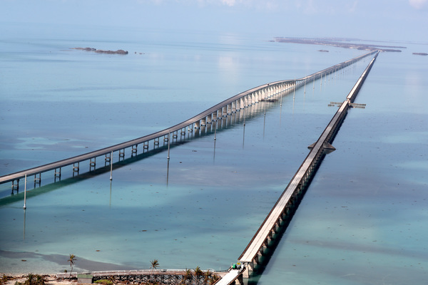
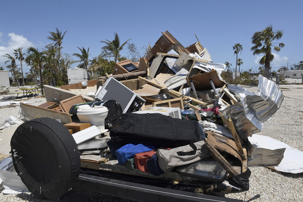
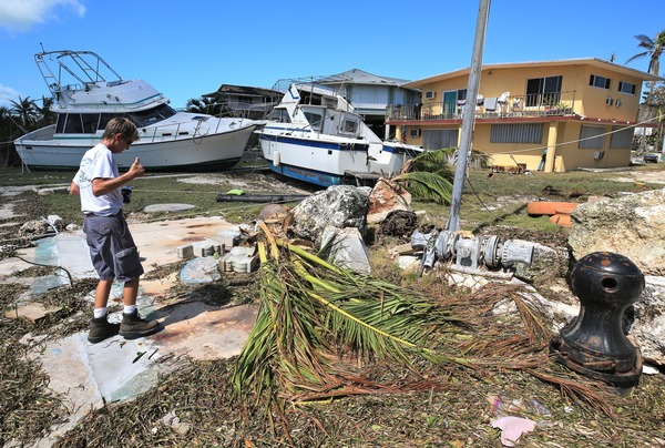
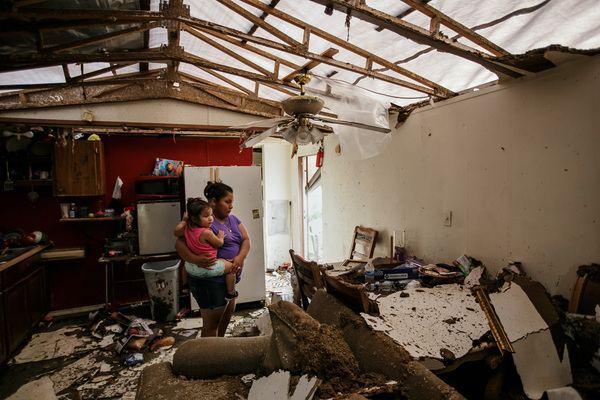
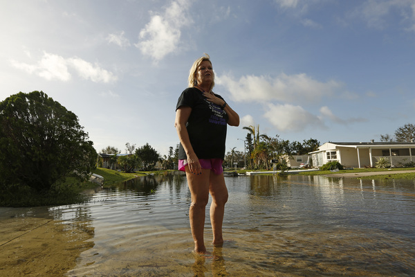
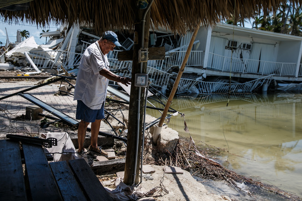
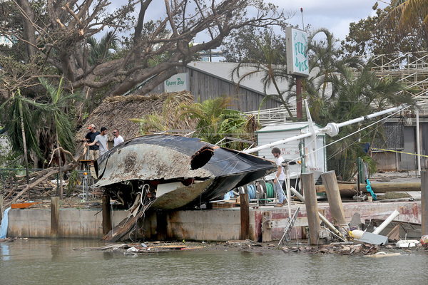
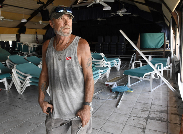
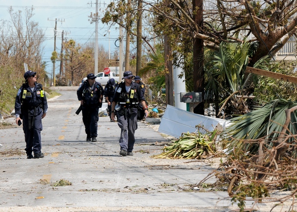
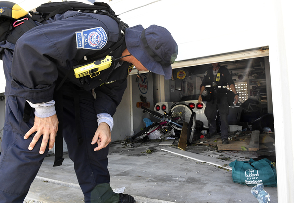
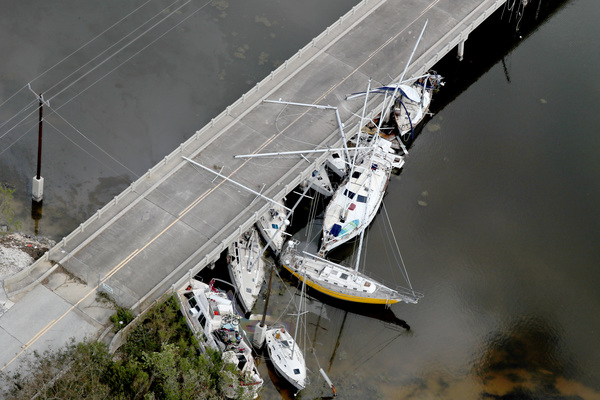
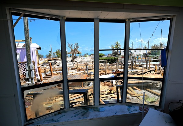
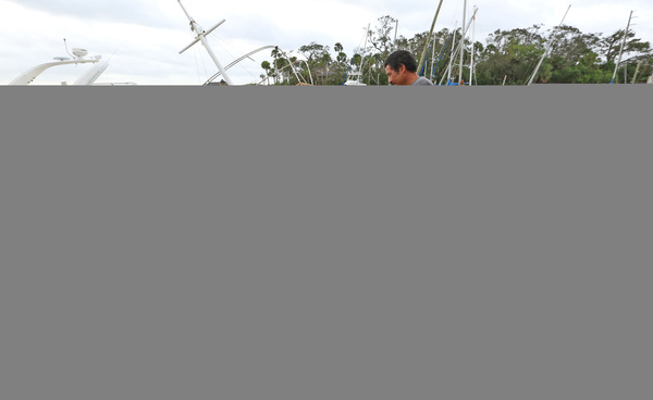
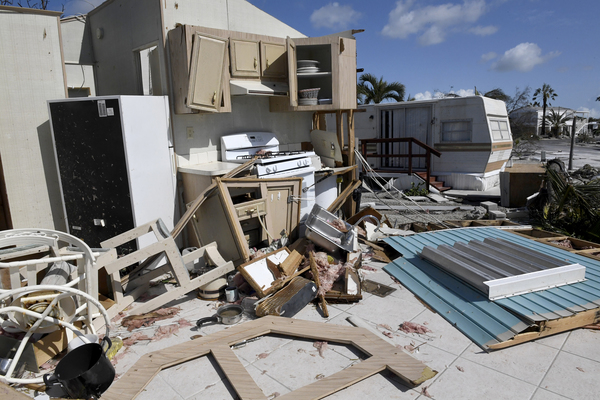
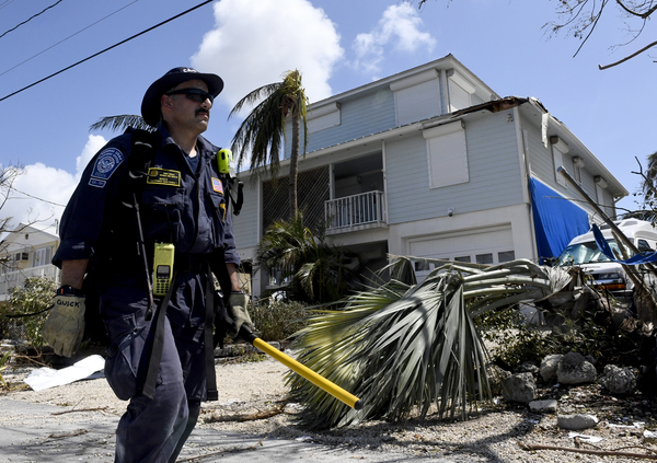
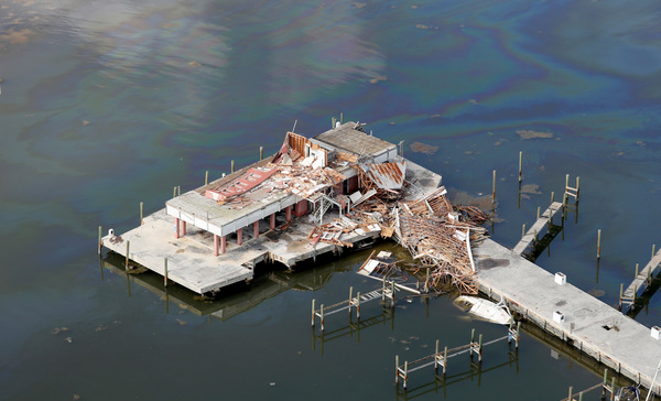
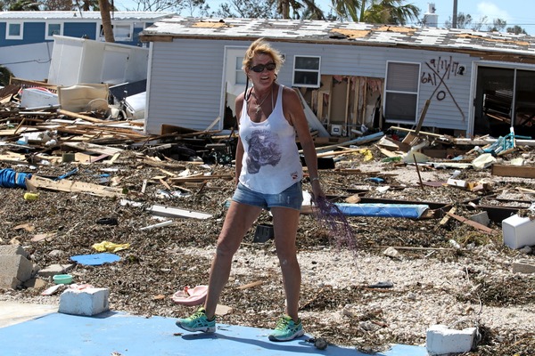
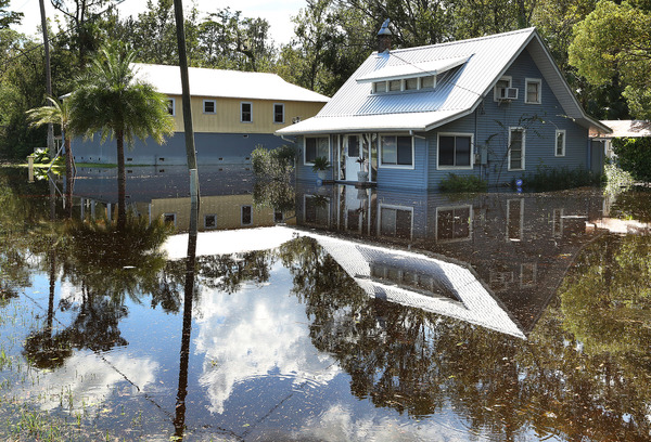
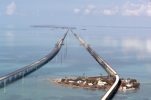
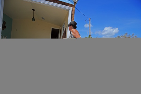
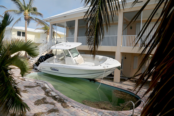
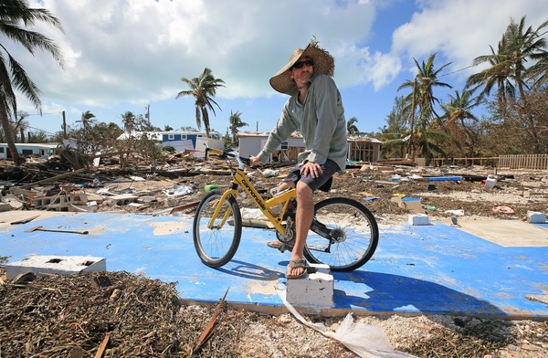
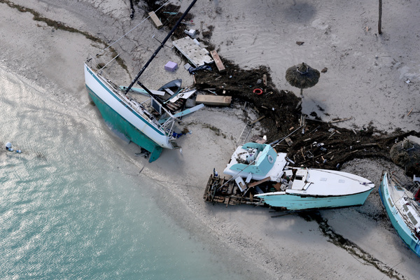
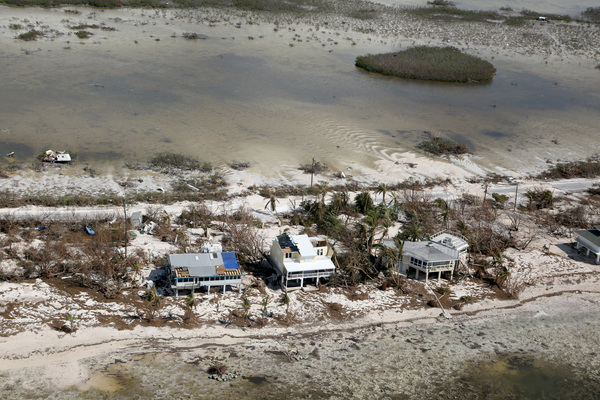
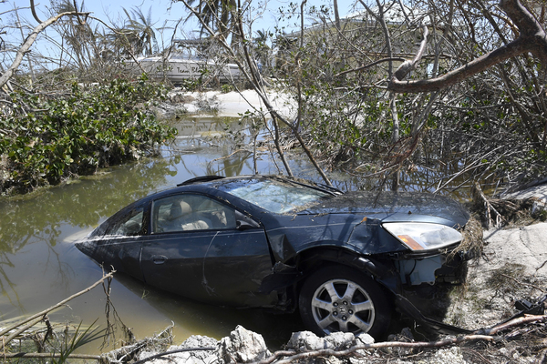
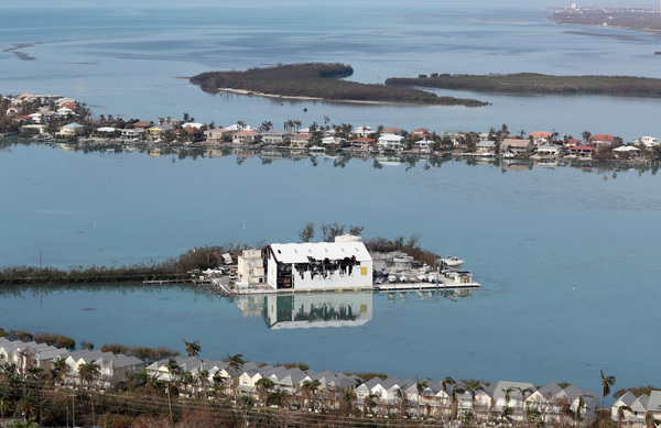
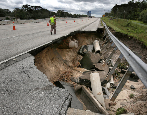
With Irma's eye beyond the Florida Keys, officials began to inspect the damage there. There are widespread water and power outages, and the Florida Keys Aqueduct Authorities issued a precautionary boil water notice.