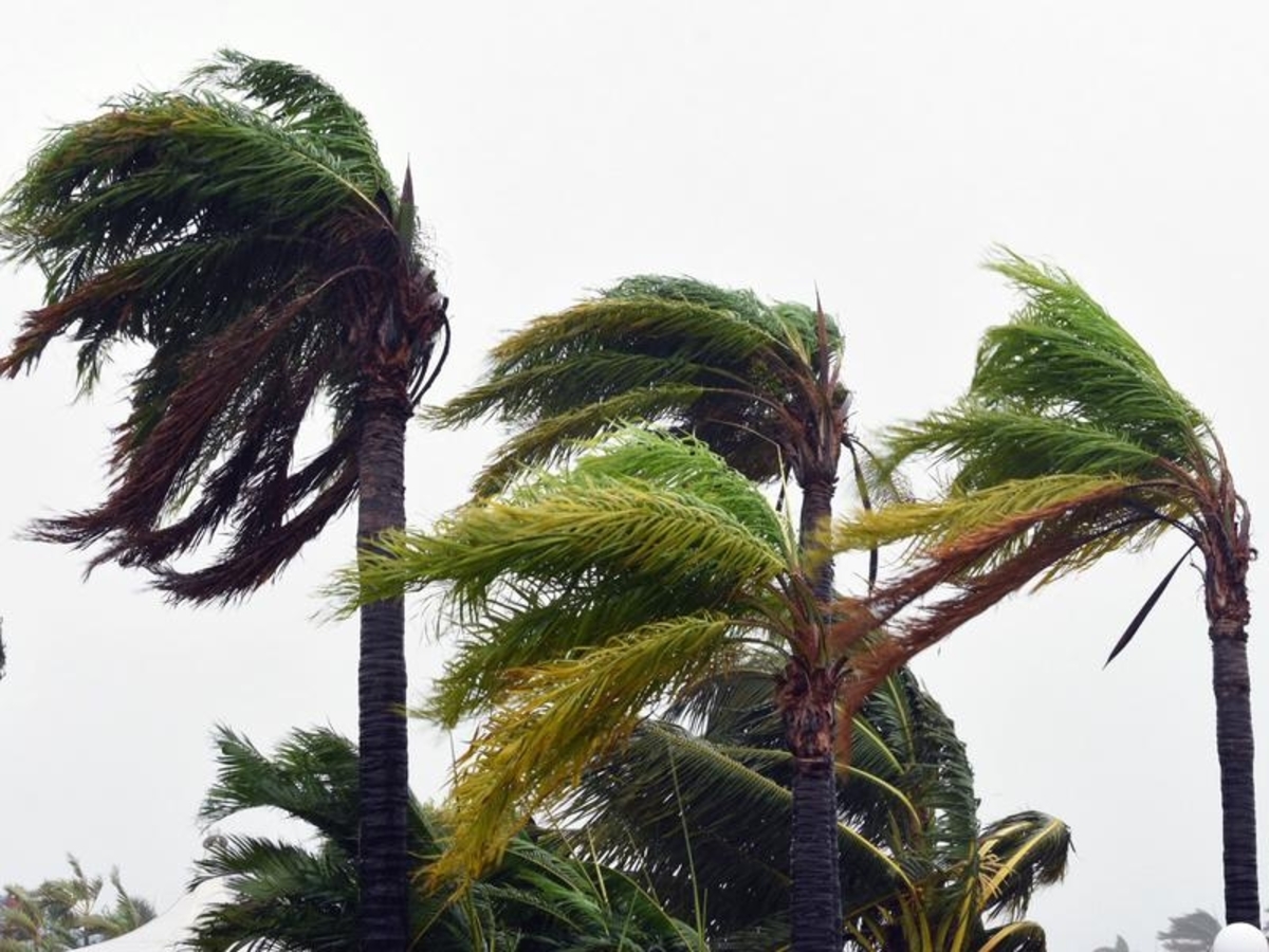
A cyclone is likely to form off the northern Queensland coast, bringing strong winds, heavy rain and abnormally high tides, the weather bureau says.
A tropical cyclone watch is in place between Cape Flattery and Lucinda extending to Mareeba and Atherton.
The Bureau of Meteorology says a tropical low is forming along the monsoon trough 200km east of Innisfail and is expected to intensify into a tropical cyclone by Tuesday morning.
It says there are a range of scenarios for the cyclone, to be called Niran, but a direct coastal crossing is unlikely.
The system is expected to remain off the coast before tracking to the southeast later in the week.
Cyclone Niran may drift close enough to coastal districts to bring gale force winds, heavy rainfall and abnormally high tides to areas along the coast, the bureau says.
Gale warnings are current for Cairns and Townsville waters and strong wind warnings are in place for the Cooktown and Mackay waters.
These strong winds are likely to continue throughout the week as the system tracks towards the southeast corner of the state.
Showers and thunderstorms are increasing for the southeast, with the risk of severe thunderstorms in the southeastern interior for Monday and Tuesday.