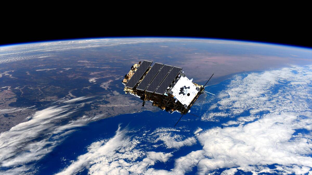
A powerful observation satellite able to provide images of the Earth even through clouds or heavy bushfire smoke will now be at the fingertips of Australian researchers following an historic agreement.
The CSIRO will from Thursday be able to operate the NovaSAR-1 satellite when it passes over Australia, with scientists able to gather images to help in areas from managing natural disaster recovery efforts or planning in the agriculture sector.
It will be the first time Australia will be able to directly manage its own observation data from satellites in orbit, rather than having to rely on other countries.
While Australia is one of the largest users of observation data from specialist satellites in space, it had previously had to piggyback off agreements in place with space organisations such as NASA to get the images.
Director of the CSIRO Centre for Earth Observation Alex Held said the development was a critical step towards Australia being able to launch and operate its own satellites as part of its own space program.
"Compared to other satellites, this one we can book and point the camera ourselves, rather than others where we get images that just happen to be collected from NASA," Dr Held said.
"This is the first imaging satellite that we can effectively control ourselves to collect data from anywhere that we're interested in."
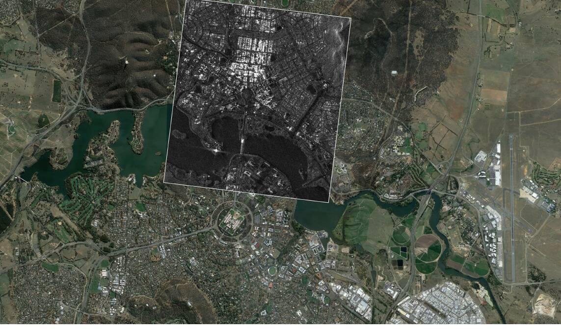
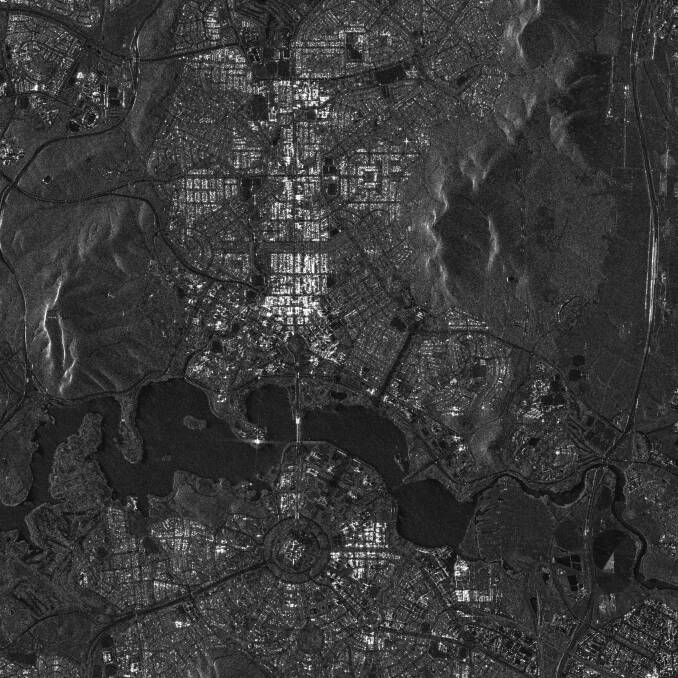
While there are multiple observational satellites in space, most, such as those used for Google Earth, collect images like a photograph, with varying levels of detail.
The NovaSAR-1 satellite uses a different wavelength, which allows it to see through clouds or smoke haze to capture images on the ground where other satellites couldn't.
Data from the satellite will be downloaded to a receiving station in Alice Springs, owned by the Centre for Appropriate Technology, the country's only Indigenous-owned and operated ground segment service provider.
Dr Held said the technology would allow for people to track damage from disasters such as bushfires or cyclones and help plan disaster responses.
"For instance, after a cyclone where it's still cloudy for other satellites to see images, we can use this one see through the clouds and see where it has impacted," he said.
"It even gives us the chance to look through the satellite at night or during hazy events."
The satellite passes over Australia roughly every 90 minutes and can be programmed to capture 2.5 minutes worth of images at a time.
Depending on its orbit, the satellite passes over the exact same area of the continent every few weeks, allowing researchers to know exactly when the powerful tool could be used to capture data.
While data from the satellite would be able to be gathered by government departments and scientists, Dr Held said it would also be open to any other researchers who want to use it on a first come, first served basis.
"It would almost be like booking for a doctor's appointment, but we will still have a group of experts who will look through the proposals for use and deem which ones are good and what the data would be used for," he said.
"It's going to be an open system, so anyone would be able to access the archive and download the data."


.jpg?w=600)