Up to 40cm of snow could fall across Central Scotland later this week, the Met Office has said.
The forecasting body said while there is some uncertainty about where snow will cover and how deep it could be, 30cm-40cm could fall across the Central Belt and Southern Highlands on Thursday and Friday.
Northern England, including cities, could see 15cm-20cm of snow cover even in lower-lying areas as the cold snap gets even chillier.
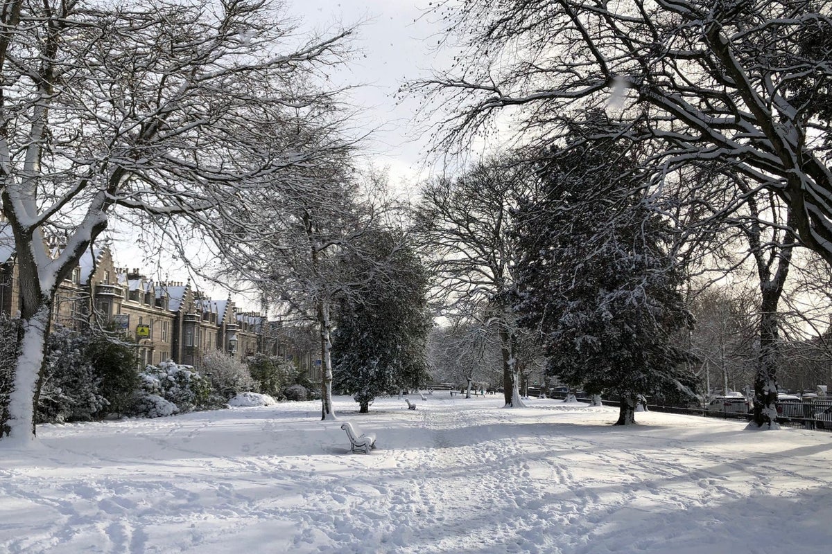
More than 10cm of snow fell in parts of northern Scotland on Monday as the cold snap brought snow, ice, wind and rain.
Temperatures dipped to minus 7.6C at Altnaharra in the Scottish Highlands on Monday night and the small hamlet was covered in 12cm of snow, more than anywhere else in the UK.
Snow has also settled across Northumberland and North Yorkshire, with some spots experiencing 2cm-3cm of cover.
Tuesday could be the coldest night of the year so far, with the mercury plunging to minus 15C in some isolated Scottish glens.
People in southern England and South Wales can expect to wake up to snow on Wednesday but it is unclear whether it will settle, the Met Office said.
Snow is more likely to settle when it moves across much of northern England, Northern Ireland and much of Scotland on Thursday.
Met Office spokesman Stephen Dixon said snow should fall where cold Arctic air moving south towards the UK meets warmer air moving up from the South West.
He added: “As we move into the weekend as that low pressure has moved out from the East, there is a further band of rain likely to move from the South West, which could knock against cooler air and create sleet showers.
“Next week there will be a gradual warming back to something a little bit more typical for the time of year.”
A yellow weather warning for snow and ice is in place in much of northern and eastern Scotland and north-east England until 10am on Wednesday.
London, the south of England and South Wales will be covered by a yellow warning for snow and ice all day on Wednesday and until 9am on Thursday.
A few centimetres could fall in those areas.
Northern England, North Wales, most of Scotland and Northern Ireland will be covered by a yellow warning for snow between 3am on Thursday and 6pm on Friday.
Further warnings are likely to be issued throughout the week.
The Met Office has warned people of possible delays on roads, railways and buses and said people could injure themselves by slipping on ice.
Homes in some rural areas may be cut off from the grid while others may experience power cuts and phone signal could become patchy.
The RAC has said it is “essential” drivers go out with blankets, food and drink and a phone charger in case they get stuck.
Breakdown spokesman Rod Dennis said: “Anyone who isn’t confident with winter driving might want to postpone their journey until temperatures increase.”
The UK Health Security Agency has issued a level-three cold weather alert for the whole of England which is set to last until midnight on Thursday.
The agency’s head of extreme events and health protection Dr Agostinho Sousa said people should check on vulnerable relatives and told pensioners and anyone with an underlying health condition to heat their home to at least 18C.