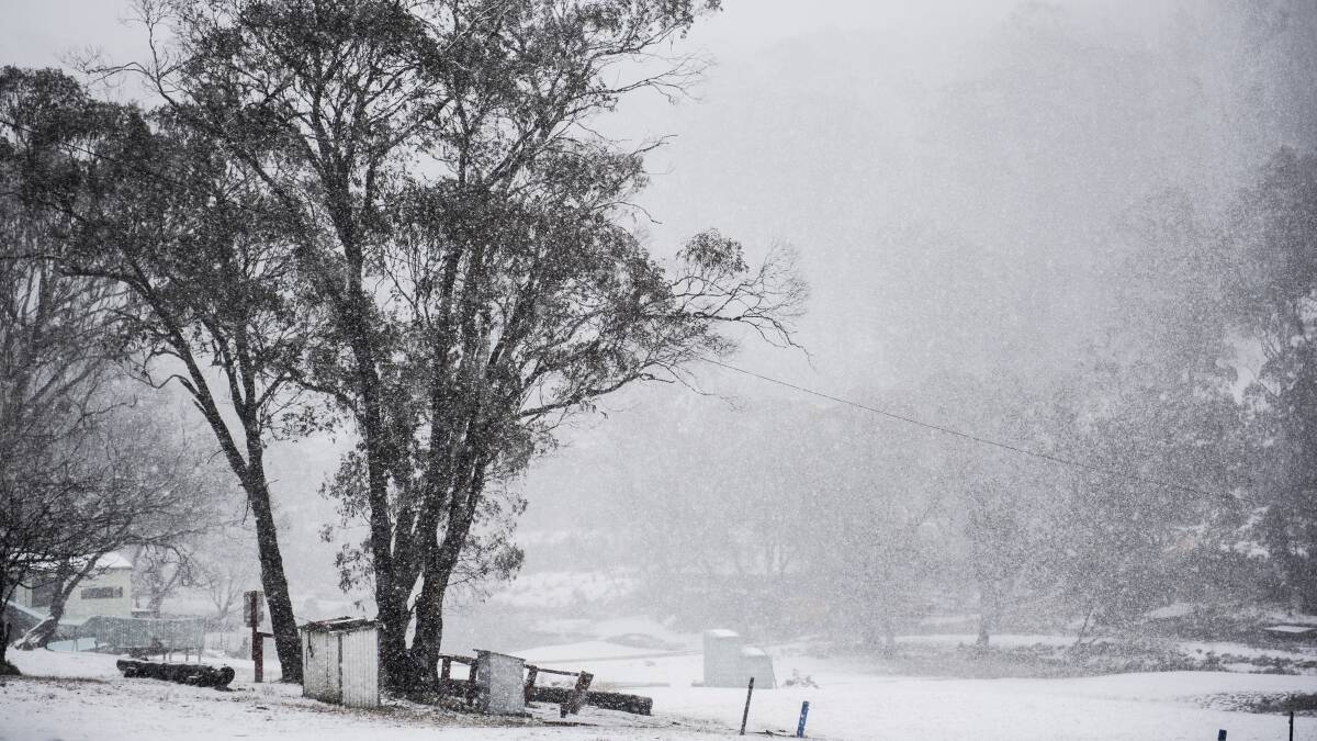
Canberra could wake to a dusting of snow this week, as meteorologists forecast a very cold snap and gusty winds.
A cool change is expected, with temperatures expected to drop down to -1 degree on Wednesday.
"It is possible that we may see snow in places like Goulburn and parts of the Central Tablelands, parts of the hills in Canberra, and then possibly stretching out to towns such as Armidale and Glen Innes," the Bureau of Meteorology's Jackson Browne said.
"The front is pretty mobile, so it blows off the fast north-eastern parts of NSW during the course of Wednesday."
IN OTHER LOCAL NEWS:
- Canberra's Floriade Festival has been cancelled, but flowers will still appear across the city
-
Heavy hitters: The regional properties that have doubled in price since 2019
- Road closed after fuel tanker caught alight on Monaro Highway
Potentially damaging wind conditions are also expected in the ACT through Tuesday, with the Bureau of Meteorology warning the system can bring down trees and powerlines.
A slight chance of a shower is predicted for Tuesday morning, with the chance of a thunderstorm. Winds are expected to blow north-westerly, up to 20km/h very early in the morning. They should then shift south to south-westerly up to 25km/h in the morning before easing in the late evening.
If snow is going to fall in the ACT it is most likely to happen on Wednesday morning, with the weather expected to be slightly cloudy.
Clouds are also predicted for Thursday, with light winds becoming north-westerly up 30km/h during the morning, before easing in the evening. Temperatures could reach up to 20 degrees. There's a 30 per cent chance of a shower on Friday.
The weekend should be slightly chilly and partly cloudy, with a maximum temperature of 16 degrees on Saturday and 17 degrees on Sunday.
- with AAP