LOS ANGELES — It has the potential to be a snowmaker of epic proportions: A brutal winter storm moving through California is slated to drop rain, sleet and snow from the Oregon border down to the deserts near Mexico.
Forecasters say “all eyes” are on Thursday through Saturday, when even Southern California could see several feet of fresh powder in the mountains around Los Angeles. The National Weather Service has issued a blizzard warning in the L.A. and Ventura County mountains — the first such warning the agency is aware of.
“It’s bringing all of that cold air down to Southern California — we’re getting the full brunt,” meteorologist David Sweet said of the storm system.
“It’s got the cold air, it’s got the moisture, it’s got strong winds,” said Sweet, who works with the weather service in Oxnard. “It’s an ideal situation for a big weather maker with huge impacts.”
The event is unusual even in a winter of unusual events, climate experts say. The state already defied forecasts for a dry winter driven by La Niña when a series of nine atmospheric river storms pummeled California in January — the wettest three-week period on record, according to state officials.
Early February was marked by a notable return to dryness, with less than an inch of precipitation falling statewide. Now, residents are being battered by winds and facing hazardous driving conditions and snow as low as 1,500 feet. Should forecasts manifest, the L.A. and Ventura County mountains could receive the “largest amount of 24- (to) 48-hour snowfall seen in decades,” rivaling a winter storm in 1989, the weather service said.
Daniel McEvoy, a regional climatologist with Western Regional Climate Center, said the rare system is part of a larger-scale circulation pattern in the Western U.S. that has been in place through much of winter and has locked in a lot of cold air.
“This has been one of the coldest winters in many decades for a lot of places,” McEvoy said, “so the fact that we’re having another cold storm this winter is not that surprising, but the magnitude — and how the ingredients are setting up to impact Southern California especially — is looking pretty rare.”
The low-pressure system originated off western Canada and is composed of multiple waves of energy, he said. Though it is not like the “classic” atmospheric rivers that hit the state in late December and early January, the system will connect with moisture over the Pacific as it moves south, signaling heavy rain and snow.
The effects of the storm are expected to be wide-ranging and potentially dangerous, including “large swaths of our interstates and highways covered in snow,” said Hannah Chandler-Cooley, a meteorologist with the weather service in Sacramento. The agency is advising people to avoid travel, particularly between Thursday afternoon and Friday, and to be prepared for hazards such as downed trees and power outages.
The area of main concern around Sacramento is the foothills and mountains, as well as the Northern Sacramento Valley, where snow could be at elevations as low as 500 feet — basically down to the valley floor, Chandler-Cooley said.
In the San Francisco Bay Area, the best chances for accumulation are around the Santa Lucias on the Central Coast, according to NWS meteorologist Brayden Murdock. Though the storm has been relatively dry so far, it will soon gain some moisture as it pushes its way south toward L.A., he said.
“This is a rare setup for us,” Murdock said. “If this whole system was pushed a little more off to the east, it probably would have been more of a dry, strong wind event, but since it gets the opportunity to interact with the Pacific, that’s why we’re getting all this moisture on top of it.”
Already, high winds in the San Francisco Bay Area have toppled garbage bins, basketball hoops and shopping cart holders. On Tuesday afternoon, a gust of 73 mph was clocked on the Golden Gate Bridge, while a wind gauge at San Francisco’s Twin Peaks measured one at 63 mph.
Firefighters and law enforcement responded to a series of felled trees and limbs, including a eucalyptus that dropped onto the westbound lanes of Interstate 80 on the Bay Bridge, blocking the tunnel. And the roof of at least one building in San Francisco partially blew off.
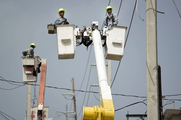
Power outages were also widespread — more than 172,000 at the peak Tuesday night — and several communities, homes and businesses were still without power on Wednesday. In Menlo Park, traffic lights from the 101 Freeway to El Camino were largely out of service.
Still, much of the system will impact Southern California, where rain and snow are expected to ramp up late Thursday into Friday. California Department of Transportation spokesman Marc Bischoff said the agency was already staffing crews around the clock on the Grapevine, where they’re readying snowplows and spreading salty brine on the roads to keep them from icing up.
“We’re always concerned about the mountain areas because that’s where precipitation hits first, and particularly because the snow levels are going to be so low and temperatures are going to be so cold,” Bischoff said. In addition to the Grapevine, other areas of focus for CalTrans included State Routes 14, 58 and 33, as well as State Routes 2 and 39 in the Angeles National Forest.
“For the duration of the storm, if you don’t need to drive somewhere on any of those roadways, then don’t go — that’s the best choice you can make,” he said. He added that State Route 33 had been closed since the atmospheric river storms in January, so those tempted to take that roadway to look at the snow can “save themselves a trip.”
Referring to last fall’s seasonal outlook that called for another dry winter, McEvoy, the climatologist, said the moist system speaks to the challenges of long-term forecasting. Since about November, the jet stream has been digging out an area of low pressure that has been persistent over much of the West Coast.
“The atmosphere has gotten locked into this pattern this winter, and it doesn’t look like it’s going to be breaking anytime soon,” he said. “This is a pattern we haven’t really seen in a long time in the West.”
By noon Pacific time on Wednesday, snow had started to come down steadily in Palmdale. It was 44 degrees, and most people were going about their day bundled up in jackets.