Most of Australia has at least double the chance of experiencing unusually warm days and nights this coming autumn, according to the Bureau of Meteorology’s latest long range forecast.
The bureau put the extra warmth in its forecast down to the climate crisis and the warming ocean surface that was tending to push up temperatures.
Last week the bureau confirmed that Australia has warmed by 1.5C since its long-term temperature record started in 1910.
For the two weeks starting on 20 February, the bureau’s outlook showed that Sydney, Canberra, Hobart, Brisbane and Darwin all had at least a 60% chance of seeing higher than usual maximum temperatures. Overnight temperatures were forecast to be warmer than normal almost everywhere.
Much of Western Australia is in the middle of a low-intensity heatwave from Friday until Sunday.
Australia’s women’s cricket team played through temperatures in the low 40s during day one of a Test match against South Africa in Perth on Thursday.
While the forecast for Friday was only 30C, temperatures in the WA capital are set to climb to 36C on Saturday and 43C on Sunday.
For the autumn months of March, April and May, the bureau’s long range outlook showed an elevated chance for all capitals experiencing unusually warm maximum and minimum temperatures.
The bureau classifies “unusually warm” as temperatures that are in the top 20% of those ever recorded in each place.
Caitlin Minney, a bureau climatologist said: “The climate change signal and those warmer oceans and warmer air temperatures are why we are consistently seeing that signal above the median.”
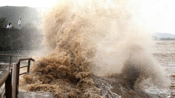
Sea surface temperatures have been consistently above average along Australia’s east coast since January. Australia has seen above average annual sea surface temperatures every year since 1995.
Minney said: “When we see warmer than average sea surface temperatures the impact on temperature tends to be more in the coastal regions of the north. It’s warmer than average [in the ocean] almost everywhere.”
The bureau’s outlook shows almost the entire continent has an 80% chance or greater of seeing maximum temperatures above normal.
The forecast warmth for March, April and May across the country comes after Australia experienced its third-hottest January on record.
The picture is more mixed for rainfall for autumn.
The bureau said below usual rainfall was likely for WA’s northern coastline, the northern and eastern parts of NT away from the Top End, most of Queensland away from the south-east and parts of South Australia’s north-east pastoral areas and parts of eastern and far north-west NSW and southern Victoria.
There was “no consistent wet or dry signal” for the rest of the country over autumn.
The El Niño weather pattern in the tropical Pacific was weakening, the bureau said, with conditions expected to return to neutral over the autumn.