Britain has experienced the coldest night of the autumn so far as freezing temperatures were recorded in parts of the country.
The Met Office recorded lows of -11.7C at Loch Glascarnoch last night as the cold snap continues after what has so far been a balmy autumn.
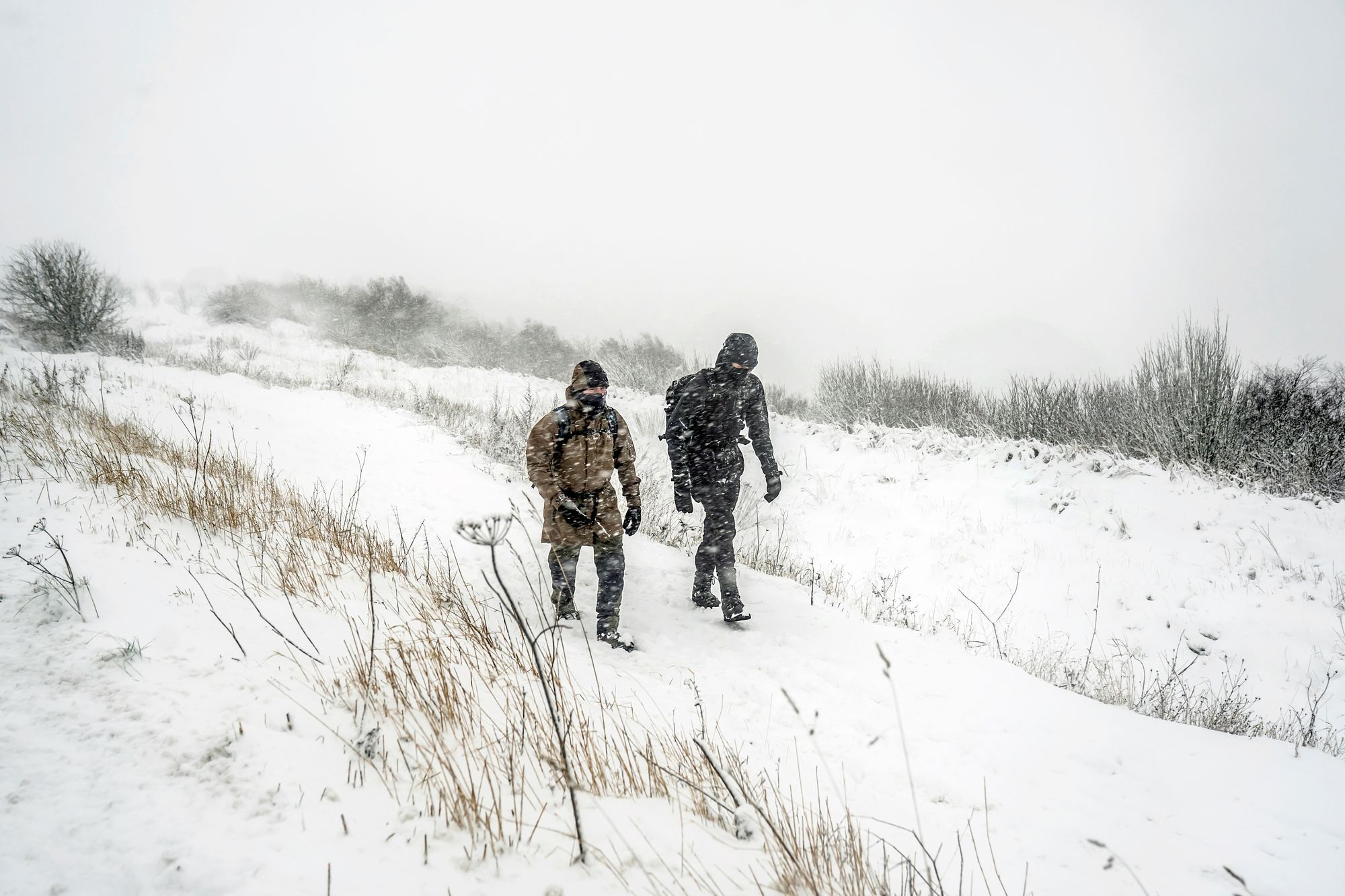
While not as cold as the current record-holding low for the year, 18.9C recorded in Altnaharra on 11 January, the recent arctic air mass has brought snow to the UK as schools were forced to close across the country.
Chilly conditions have led to yellow ice warnings being issued to parts of the UK, from the north-east of Scotland to the eastern coast line of England.
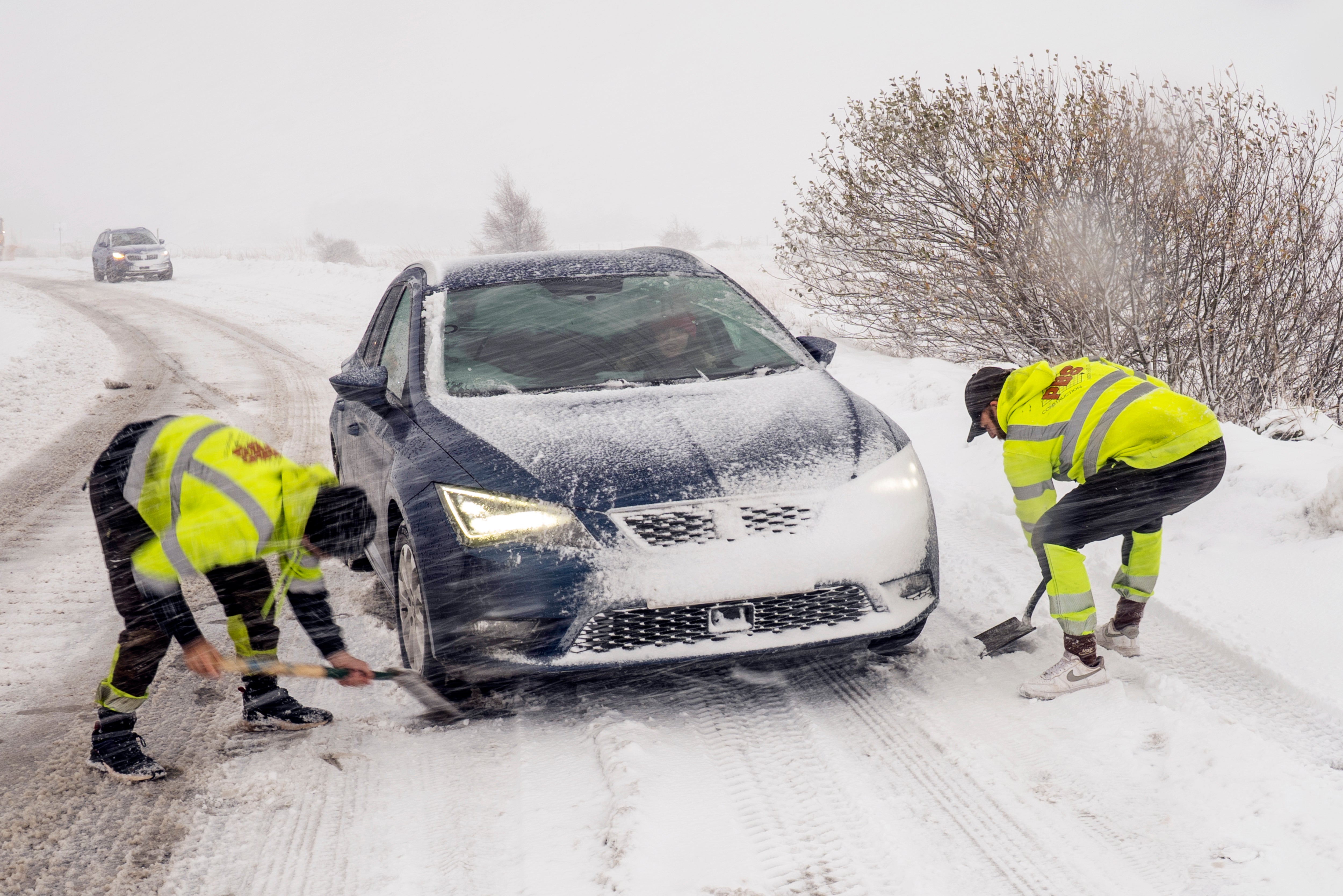
The warnings are in place until 11am this morning, as the forecaster warned that showers throughout the night would bring icy conditions and snow over higher ground.
Chief forecaster Steve Willington said: “We’re still in the grip of a cold, Arctic air mass today and into Friday, and that means further wintry showers for some, and ice, particularly overnight.
“Multiple warnings are currently in place, with new warnings for the overnight period issued.
He said on Thursday: “Temperatures will fall sharply again tonight, with lows potentially reaching -12°C in rural parts of Scotland and widely below freezing elsewhere. As temperatures fall overnight, ice will form on untreated surfaces and may cause some travel disruption tonight and into Friday morning.”
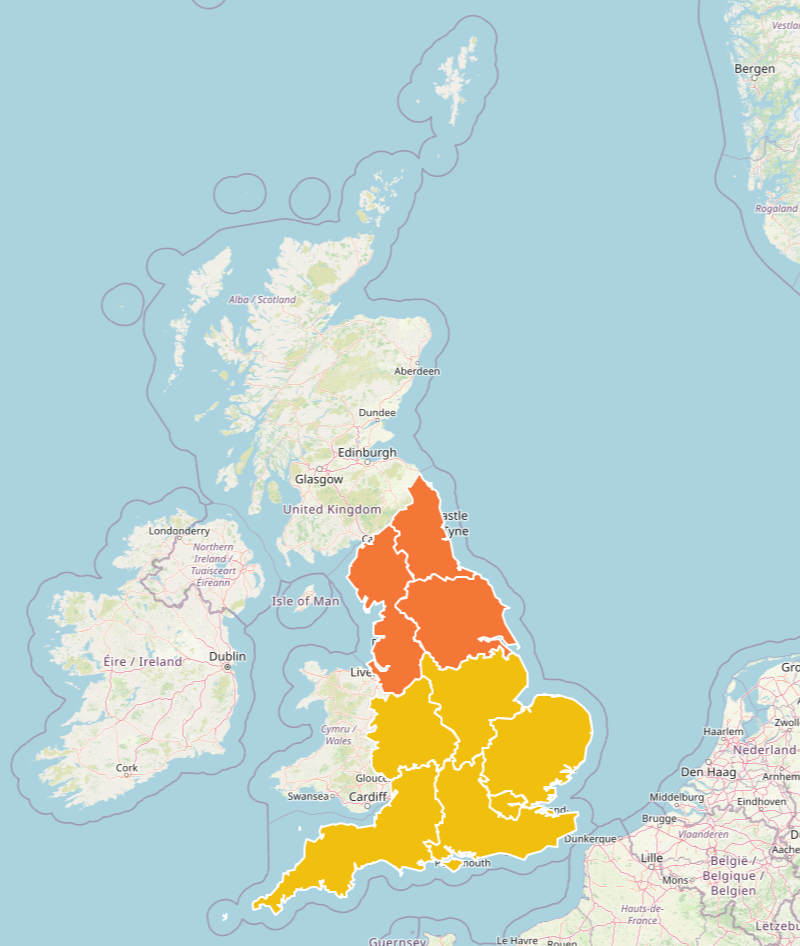
The UK Health Security Agency (UKHSA) has put yellow and amber cold health alerts in place across most of England, set to remain in place until Saturday at 8am.
The north east and north west of England were placed under amber alert, as the agency warned of a rise in deaths due to the cold weather and an increase in demand for health services.
A change in the weather is expected to bring an end to the cold snap this weekend, as milder, more unsettled, Atlantic-driven weather moves in with cloud, rain and winds. It will bring an end to the wintry hazards seen over the past week.
“We are keeping an eye on Wales and the Midlands, where saturated ground conditions may increase the likelihood of low impacts,” the Met Office said.
“Conditions will remain on the chilly side, although temperatures will gradually edge back towards more typical values for the time of year. As we head into next week, a gradual settling trend is expected; north to northeasterly winds will confine rain and showers increasingly to eastern areas, whilst cooler air arriving in the north may allow some wintriness to develop in the extreme north of the country by the end of Monday.”
Today:
A frosty start with icy stretches in places. It will be a cold but bright day for most, although the sunshine turning increasingly hazy. Thicker cloud and outbreaks of rain arriving into the northwest later. Feeling pleasant in lighter winds.
A cold evening, but becoming cloudier and windier with outbreaks of rain pushing south-eastwards overnight. A milder night than of late, but still chilly in the southeast.
Saturday:
Rain gradually clearing the southeast. Drier and brighter conditions following for a time, before further showery rain arrives in the west later. Feeling less cold for all.
Sunday to Tuesday:
Remaining unsettled on Sunday and Monday with further spells of rain and showers. Some brighter spells in between, more so on Tuesday. Less cold, especially overnight and often windy.
Temperatures plummet as cold snap continues to blanket UK
Temperatures could drop to minus 12C before cold snap gives way to sunshine
‘Thundersnow’ to hit UK as cold snap closes schools and causes power cuts
Around 100 schools in northern Scotland closed as snow brings more disruption
Budget cannot see UK ‘muddle through’, says Reeves
Energy bills for millions to rise in January after surprise price cap increase

