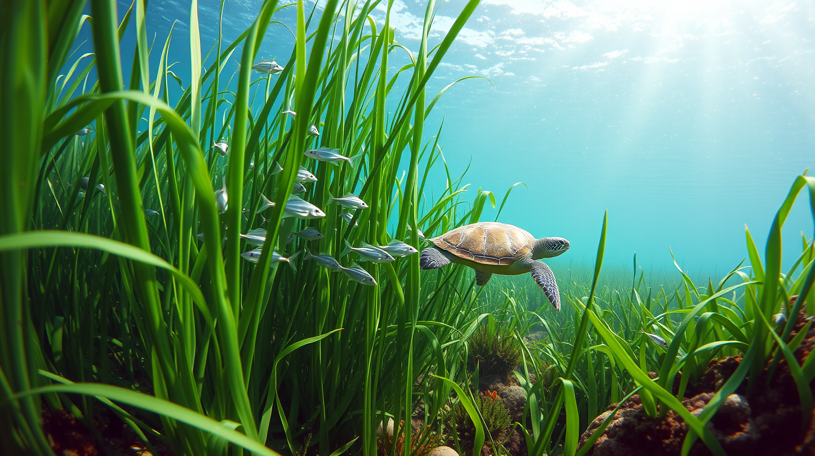
Seagrass meadows were once an important but largely unnoticed feature of British coastal waters, supporting fisheries, storing carbon and helping stabilize the seabed. However, up to 92 percent of Britain’s seagrass has been lost over time, as noted in research used in a study recently published in Ambio by Springer Nature .
Get breaking news anytime, anywhere. Download the TOI app now!
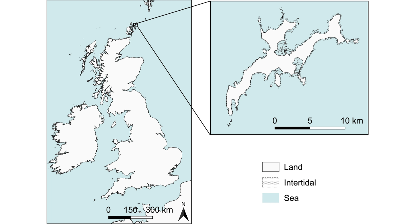
The study combined participatory mapping with ground-truthed remote sensing on Sanday in Orkney, and local knowledge helped produce the island’s first scientific seagrass records. It also “found” two meadows missing from current modelling, most of them inside protected areas, and used those data to propose three restoration priority sites.
However, new evidence suggests that some seagrass meadows thought to be lost may simply have been overlooked.
Where science and memory meet on the coast
A study on Sanday, an island in Orkney, Scotland, combined ecology research with community memory mapping, a less common approach in marine science. Rather than using data from satellite images and models, scientists interviewed locals about the presence of seagrass beds. This research brought some surprising results. Two unknown seagrass meadows were found and later proven through field research. Researchers were also able to find three sites where restoration would have the highest chances of success.
According to the authors, participatory mapping revealed ecological information that traditional modelling had missed entirely. In other words, lived experience filled gaps in scientific datasets.
Why seagrass decline is more critical than it may appear
While seagrass does not attract as much attention as, for example, coral reefs or mangrove ecosystems, its significance in ecology cannot be overstated. Seagrasses are nurseries for fish and other seafood, stabilize sediments, increase the clarity of water, and accumulate considerable amounts of carbon in coastal soils. A synthesis by Unsworth and colleagues, published in Biological Reviews , highlights that seagrass meadows play a critical role in supporting marine biodiversity and sustaining coastal fisheries, making them an important foundation for food security in many regions.
In the UK, the scale of seagrass decline is stark. According to the work of Green et al., Britain has lost as much as 92 percent of its original seagrass area due to pressures such as poor water quality, coastal development, dredging, and diseases, as reported by a PubMed -indexed study.
Moreover, this decrease is not only about ecology. It also makes the coast less resilient to environmental changes by reducing the natural functions of wave protection and sediment stabilization, as well as decreasing the carbon storage capacity of the ecosystem in coastal sediments.
“Missing Layer” in marine mapping
One of the key ideas from the Sanday research project is the concept of a “missing layer” in marine planning.
Marine spatial planning depends on biophysical data such as seafloor classification, wave exposure, and bathymetry. What it does not consider, however, is the sociocultural knowledge, which involves people’s utilization of, perception of, and memories about coastal zones. According to researchers, this is the “missing layer,” which means that restoration plans can omit important sites or make a mistake identifying them as ecologically significant. As the results of the participatory mapping exercise held with the local community showed, there were no fewer than 39 kinds of coastal uses in Sanday. These activities were not only economically important but also an integral part of local culture.
Of particular importance for researchers were people’s memories, which helped them find places with seagrass not marked by previous datasets.
Revisiting meadows with help from local knowledge
Identification of two seagrass meadows, one located in Backaskaill Bay and the other in Otterswick, was possible by involving locals and subsequent confirmation through aerial drone surveying and field verification of findings. One of these meadows was previously uncharted in scientific maps.
This matters because seagrass restoration requires a clear understanding of where meadows currently exist and where they once grew. Restoration may fail if done at inappropriate places.
The research showed that parts of the meadows lie outside full legal protection.
Three priority sites for restoration
Based on the ecological and social mapping, researchers identified three priority restoration sites. They include Otterswick, Backaskaill Bay, and Kettletoft Bay.
Otterswick was considered to be the most promising location for restoration because of the presence of the meadow there and the high level of ecological protection. Backaskaill Bay was culturally and fishery connected but presented more environmental risk. Kettletoft Bay, although without any seagrass presently, was seen as a promising place for future restoration.
The authors say the choices are not definitive and should prompt discussion in the community.
Implications for seagrass restoration along the UK coast
These results come at a time when seagrass restoration projects are attracting increasing interest in Europe, including within the UK's larger blue carbon initiatives. Seagrass restoration is becoming a popular low-cost method of carbon capture and biodiversity recovery.
Yet the Sanday research demonstrates that ecology-based evidence is not always sufficient. Successful restoration may require collaboration between scientists and residents, especially where historical records are limited. As stated in the Ambio article, transdisciplinary mapping could help improve marine spatial planning by using both ecological data and people's life experiences.
For UK coastal policy, residents’ knowledge of past seagrass presence could be integrated alongside scientific datasets to improve coastal mapping and restoration planning.