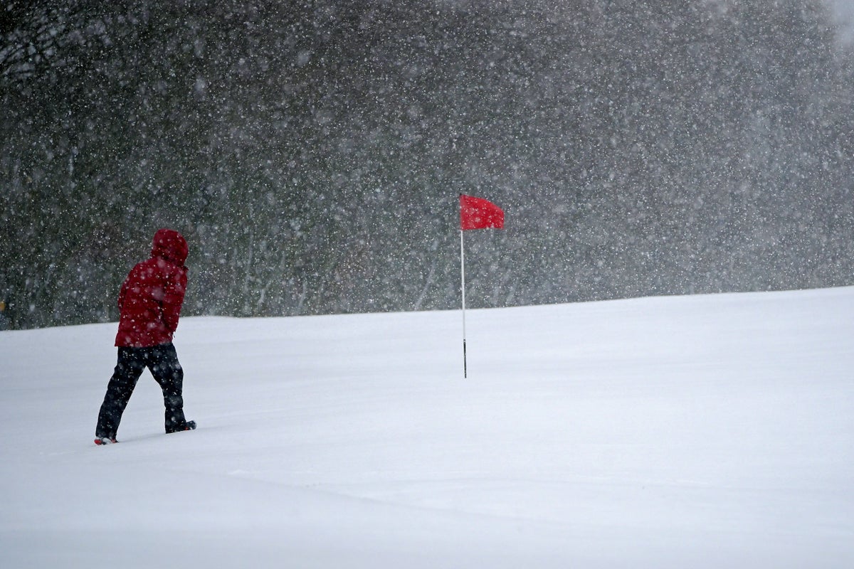
Blizzards are due to cause “treacherous conditions” in the UK on Thursday night and Friday morning – with 50mph winds and up to 40cm of snow forecast in some areas.
The Met Office has issued three amber warnings for northern England, the Midlands, North Wales and Northern Ireland, where “significant disruption” to transport and power supplies is expected.
Three yellow warnings for snow also cover much of the rest of the nation, with the exception of southern England and western Scotland.
Met Office meteorologist Alex Burkill said that a pocket of western Scotland covering Glasgow and the county of Argyll may be the only region untouched by heavy rain and snow over the next 24 hours.
He said the worst of the weather is expected in north-west Wales and northern England, where “gusts of easily 50mph” are on a collision course with “30 to 40cm of snow”.
Mr Burkill said: “The combination of heavy snow and gales is why we’re likely to see blizzards and drifting snow which causes extra hazards on the roads.
“In places covered by amber warnings, there will be very difficult, treacherous conditions.
“Ideally avoid travelling in those periods – but if you have to head out then be aware that journeys could take significantly longer.”
Mr Burkill added that while Devon and Cornwall should be free from the snow, the region is predicted to be hit by the strongest winds of around 60mph on Thursday evening.
People in the south of England are likely to experience the worst of the rain.
Thursday night temperatures will be similar to Wednesday, which was the coldest night of the year, before even colder conditions move in on Friday night.
Mr Burkill said that areas of the Highlands could see minus 17C, after this year’s record low of minus 16C was recorded at Altnaharra in the region.
Met Office forecasters said this was also the lowest March temperature seen in the UK since 2010, when minus 18.6C was recorded at Braemar in Aberdeenshire.
The coldest March night on record was minus 22.8C at Logie Coldstone in Aberdeenshire on March 14 1958.
Meanwhile, the warmest overnight temperature for the mainland was 9.8C at Culdrose in Cornwall – while 10.8C was recorded at St Mary’s Airport on the Isles of Scilly.
Mr Burkill said the “large contrast across the UK” was due to the “cold Arctic air” moving from the north while a milder front covered the south.
National Highways issued a “severe weather alert” for snow covering the North East, North West and Midlands regions until 8am on Friday, where motorists have been warned not to drive unless their journey is essential.
The RAC said that on Thursday morning there were 50% more breakdowns than usual in areas affected by snow, with some drivers stuck in the snow in parts of South Yorkshire and Wales.
Spokesman Rod Dennis said: “Rural routes through central and northern England covered by the Met Office’s amber weather warning are starting to get difficult to negotiate, and these are areas drivers should avoid if they can.
“Given the weather, we recommend thinking carefully before setting out today as, with more snow forecast, things are likely to get worse on the roads before they get better.”
East Midlands Airport, in Castle Donington, Leicestershire, has temporarily closed its runway due to the weather.
In a statement, the airport said: “Following a period of heavy snowfall, we have temporarily closed our runway.
“Health and safety will always be our top priority and operations will resume at the earliest opportunity.
“Passengers are advised to contact their airline for the most up-to-date flight information.”
The Met Office amber snow alert for England lasts for 21 hours from 3pm on Thursday and covers major cities including Liverpool, Sheffield, Bradford and Leeds.
Over Wales, an amber snow and ice warning is in place from noon until 9am on Friday, stretching from the north coast to Radnorshire.
Another amber snow and ice warning in Northern Ireland covers Belfast and areas south of the city from 3pm on Thursday until 4am on Friday.