The Met Office has warned that some parts of the country could see “thundersnow” as an amber weather warning comes into force.
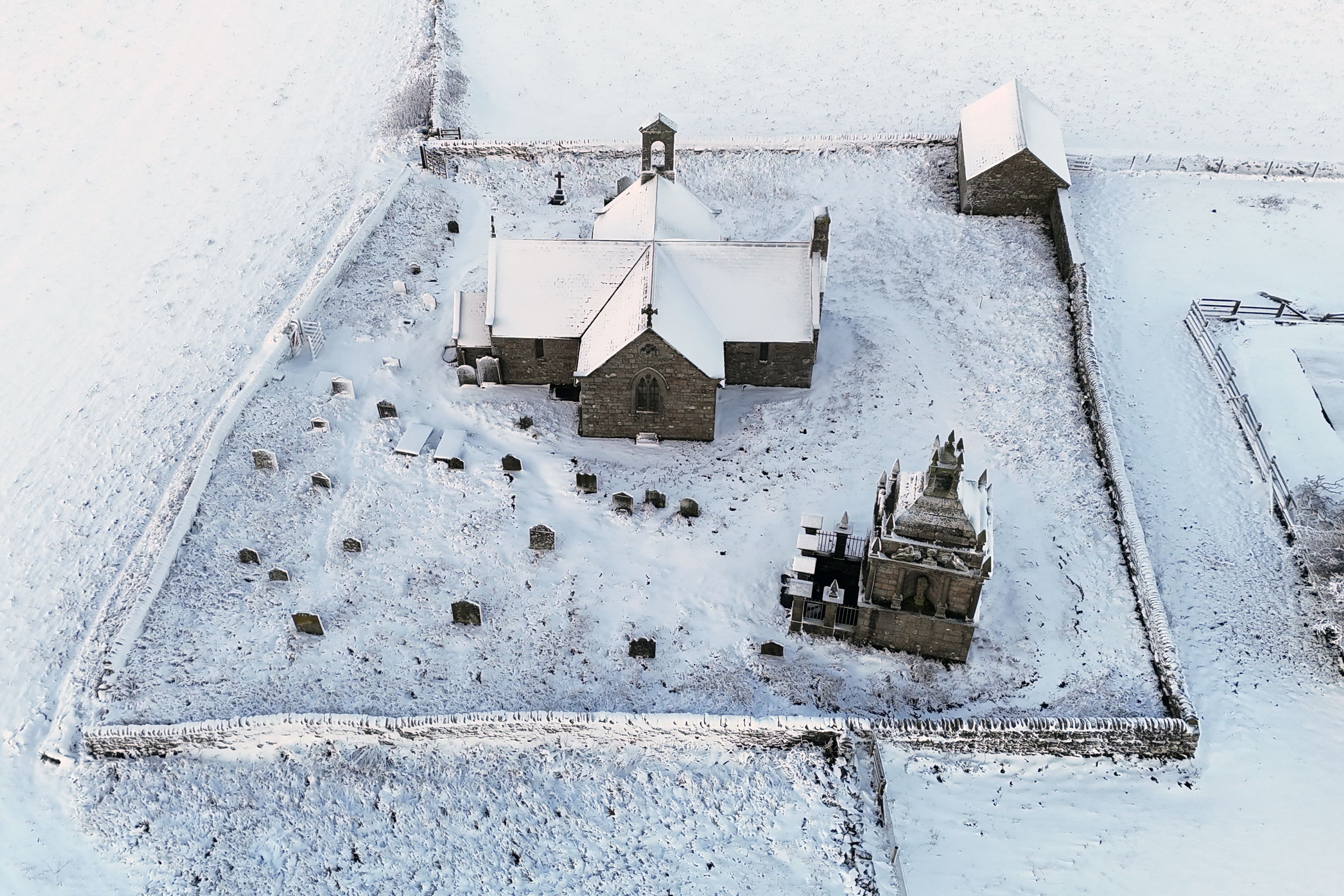
Hundreds of schools have been forced to close, roads are disrupted and homes left without power because of snow, after most parts of the UK recorded the coldest night of the season.
About 100 schools have closed in northern Scotland on Thursday, while in Wales, 36 are closed in Pembrokeshire, 14 in Carmarthenshire and seven in Ceredigion.
In North Yorkshire, 33 schools are closed, while eight are listed as fully closed in East Yorkshire.
The weather service said “thundersnow” – where thunderstorms form in wintry conditions and cause heavy downpours of snow – was seen in Aberdeenshire and off the coast in the north-east on Wednesday.
A spokesman said: “There is a risk we could see more today off the coast of eastern Scotland and north-east England.”
The forecaster also warned that rural communities could be cut off as gusty winds hit, creating “occasional blizzard conditions”, with the possibility of lightning a further hazard.
Temperatures in Northern Ireland, England and Wales fell to their coldest of the season so far, with minus 6.6C recorded at RAF Benson in Oxfordshire, minus 6.4C in Sennybridge in Powys and minus 2.8C at Altnahinch Filters in Co Antrim.
Scotland’s lowest temperature recorded overnight on Wednesday was minus 6.4C in Dundreggan, Inverness.
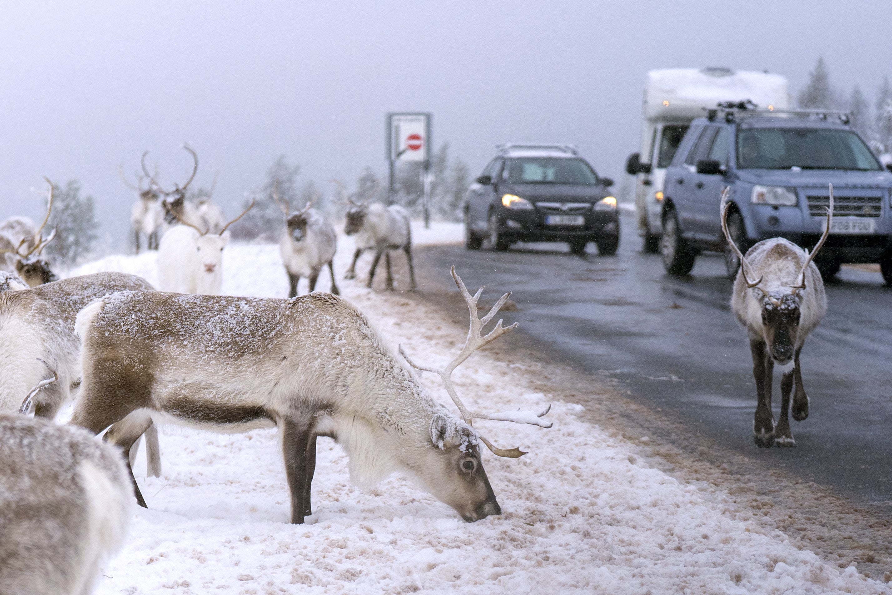
Up to 25cm of snow is expected to settle on high ground, particularly across the North York Moors as the forecaster warned some could face significant travel disruption and potential power cuts.
A number of warnings have been issued for snow and ice across the UK for Thursday after sleet and snow showers continued to batter UK coastal areas overnight, with the cold weather expected to continue until the weekend.
Parts of Yorkshire including York and Scarborough are subject to an amber weather warning from 5am to 9pm on Thursday. Multiple Met Office yellow warnings for ice and snow have also been issued for the coming days, covering Northern Ireland, parts of Wales, northern and south-westerly parts of England and much of Scotland.
Met Office meteorologist Greg Dewhurst: “Thursday will be a sunny day for most, but there will be further sleet and snow showers for coastal stretches which will filter a little inland too. Heavy across north-east England in particular.
“The highest snowfall totals from Wednesday night through Thursday will likely be across the Sperrins, North Yorkshire Moors, Northwest Highlands, Grampians and upland Pembrokeshire.”
Cold Arctic air continues to take hold across the country, with the mercury overnight dropping to as low as -6C at Spadeadam in Cumbria.
But the coldest temperatures could still be ahead, the Met Office warned, with potential for lows of -12C in areas of lying snow in Scotland on Friday.
The BBC reports that in addition to the snowfall, some areas could see “thundersnow”, where thunderstorms form in wintry weather.
Areas including London, Hertfordshire, Berkshire, Surrey, Essex, Shropshire and Northumberland saw snow on Wednesday, with Met Office weather stations in Lake Vyrnwy in Powys, Wales, recording 7cm of lying snow at 8am.
Motorists faced tricky conditions across the North East on Wednesday night, with North Yorkshire Police urging drivers to avoid the A171 near Whitby where a number of vehicles became stuck because of the snow.
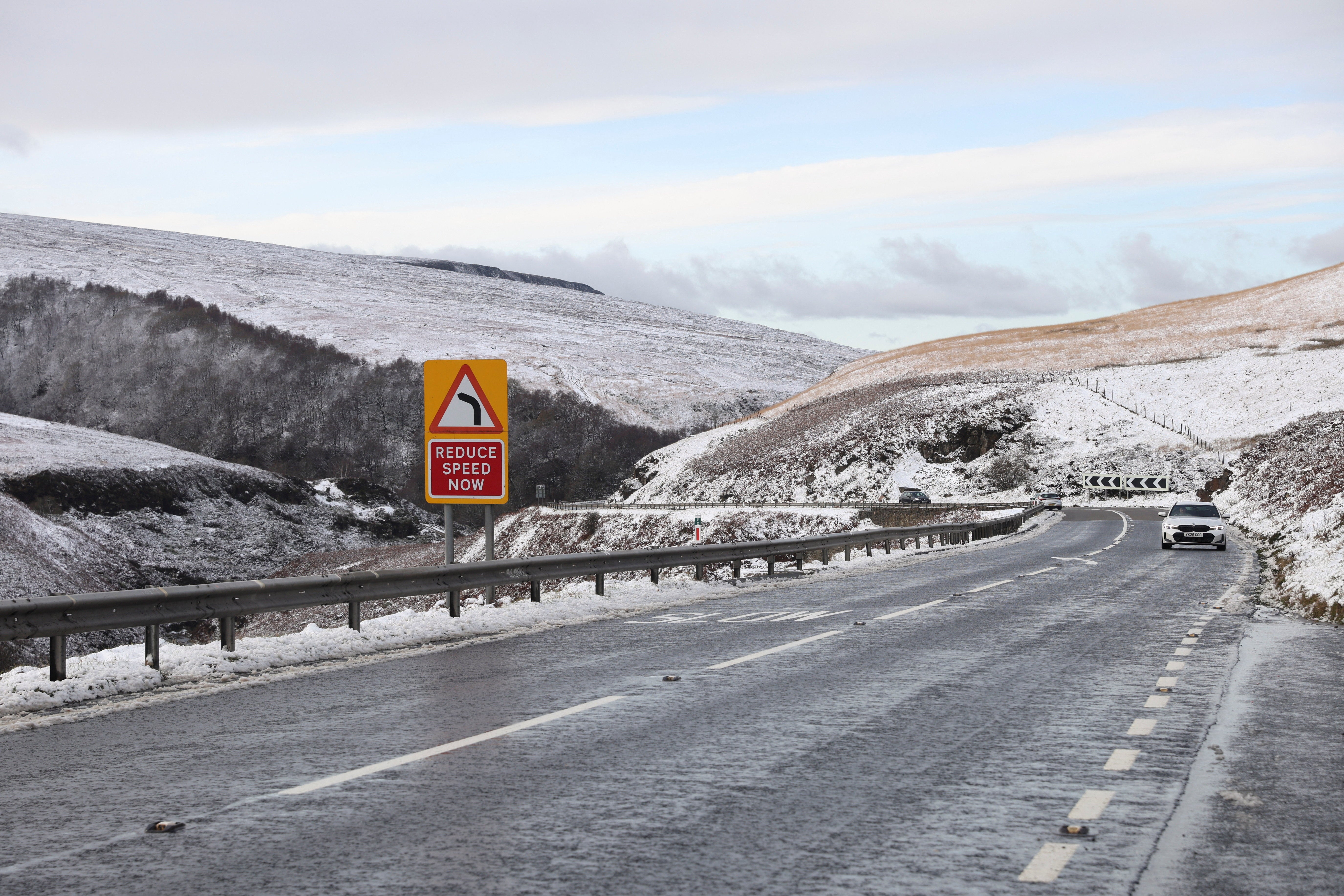
Officers also closed the A169 between Whitby and Pickering amid heavy snow.
Shaun Jones, AA Expert Patrol, said: “When snow and ice hit, the roads can quickly become treacherous. Stopping distances can increase tenfold on icy surfaces, so slowing down and leaving plenty of space is absolutely vital.
“Drivers should plan ahead, stick to main routes and allow extra time for their journey.”
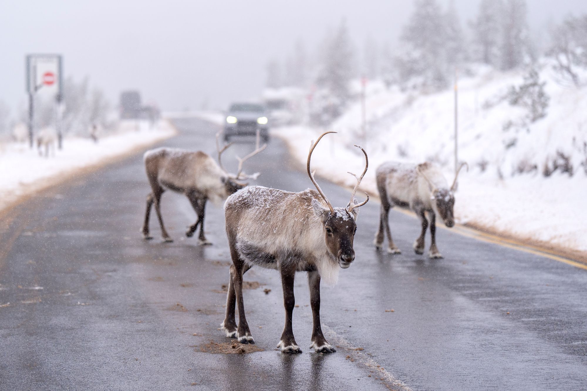
Wintry showers will hit East Anglia, western Wales and Cornwall overnight but persisting snow in the North East could cause “substantial disruption”, the Met Office said.
National Rail urged rail commuters to check their journeys before travelling during the snowy and icy weather.
How long is this cold spell going to last?
— Met Office (@metoffice) November 19, 2025
Find out what the weather has in store over the next 10 days with Annie 👇https://t.co/pZ0GMwRUqT pic.twitter.com/GkrNMIh3eC
It said speed restrictions may be in place for trains to run safely, which could result in cancellations, alterations and delays to services.
Temperatures will begin to rise closer to averages for this time of year at the weekend when wetter and windier weather arrives, but it will not be as “exceptionally mild” as it was earlier in November, the forecaster said.