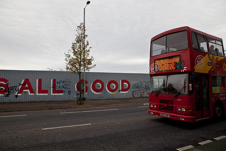
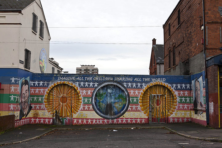
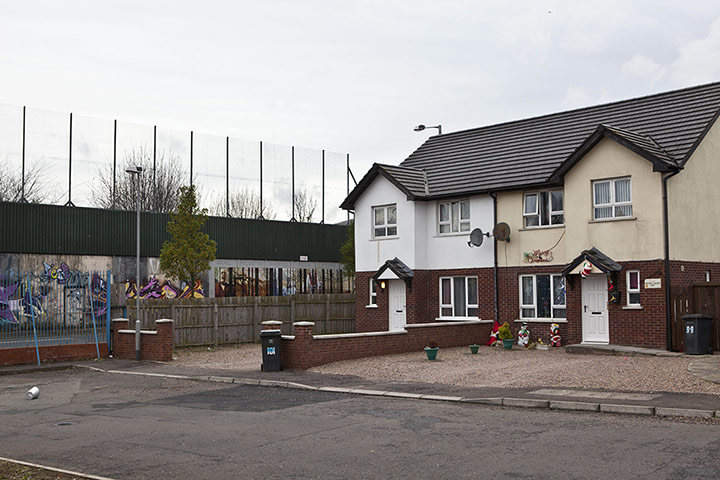
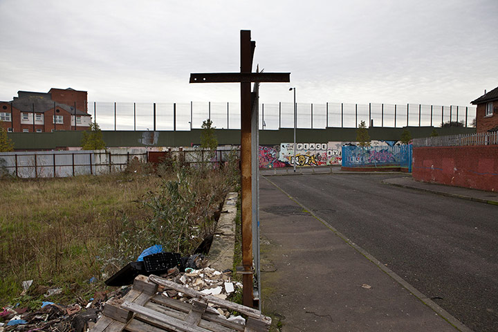
The biggest peace wall in Belfast runs along Cupar Way. It divides the east Belfast loyalist area of Shankill Road from the Catholic Springfield/Falls Roads area of west BelfastPhotograph: Antonio Olmos/ObserverA five-metre high wall and fence runs from the junction of Springfield Road and Springmartin Road to near Upper Ballygomartin Road, west Belfast. It can be seen for milesPhotograph: Antonio Olmos/ObserverAnother view of the Cupar Way wallPhotograph: Antonio Olmos/Observer
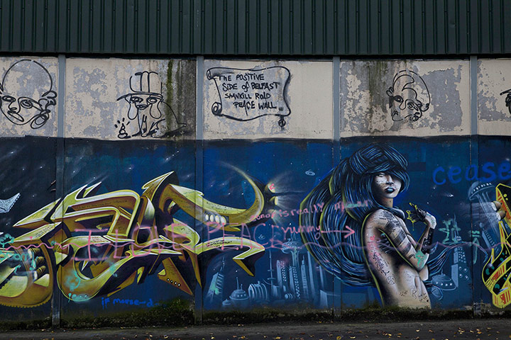
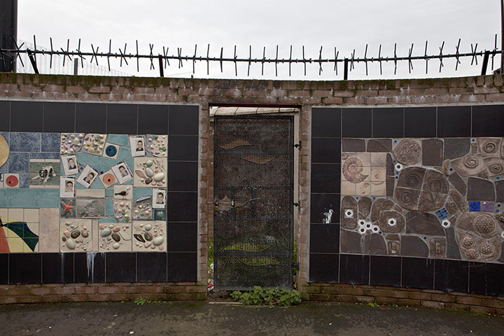
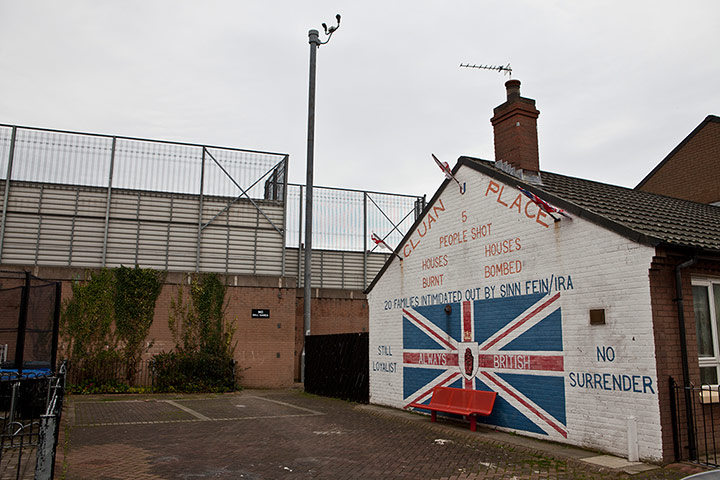
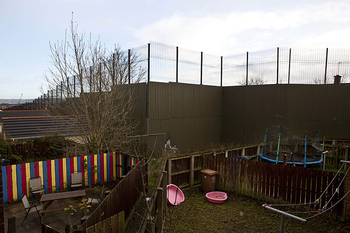
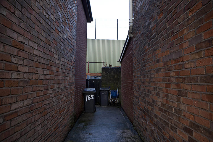
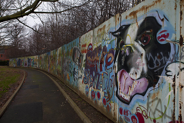
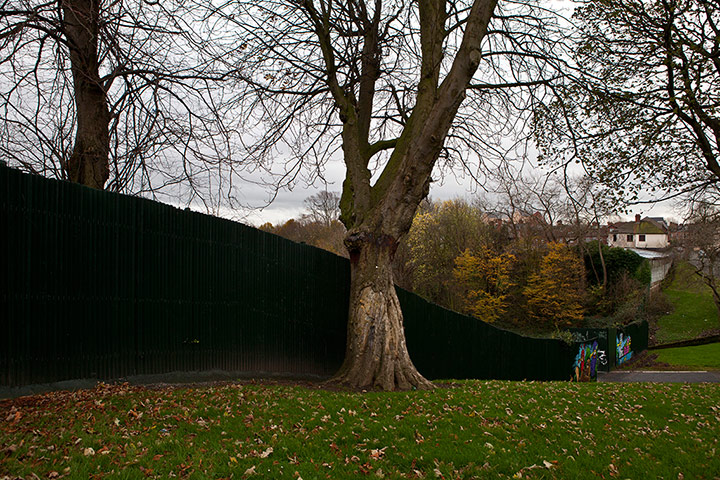
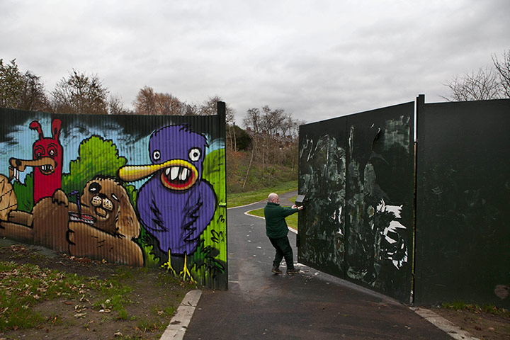
Graffiti on the Cupar Way wallPhotograph: Antonio Olmos/ObserverThe peace wall with a fence above runs the length of Bryson Street from the junction of Lower Newtownards Road to Madrid Street, in east Belfast's Short Strand.Photograph: Antonio Olmos/ObserverThe small loyalist enclave of Cluan Place sits within the Catholic Short StrandPhotograph: Antonio Olmos/ObserverA steel fence, with a pedestrian access gate, closes off Navarra Place from Serpentine Road in north Belfast.Photograph: Antonio Olmos/ObserverDuncairn Gardens in the New Lodge area of north Belfast has been a flashpoint for violence in the pastPhotograph: Antonio Olmos/ObserverGardens and children's play spaces beside the wall that runs towards NewtownabbeyPhotograph: Antonio Olmos/ObserverThe Whitewell Road contains an interface area between the republican Whitewell and loyalist White City areas. Whitewell also borders on the loyalist Rathcoole estate.Photograph: Antonio Olmos/ObserverThe biggest Peace Wall in Belfast is the wall that runs along Cupar Way. It divides the East Belfast Loyalist area of Shankill Road from the Springfield/Fall Roads Catholic Area of West BelfastPhotograph: Antonio Olmos/ObserverSteel makes the shape of a crucifix along Cupar Way, where the loyalist Shankill Road area is separated from the nationalist Springfield/Falls RoadsPhotograph: Antonio Olmos/ObserverThe peace wall in Alexandra Park, Belfast. It is believed to be the only park in western Europe with a wall running through the middle of itPhotograph: Antonio Olmos/ObserverThe wall across Alexandra ParkPhotograph: Antonio Olmos/ObserverA council employee closes the gate that since September 2011 has allowed residents to cross between the Catholic and Protestant sides of Alexandra Park between 9am and 3pmPhotograph: Antonio Olmos/Observer
Sign up to read this article
Read news from 100’s of titles, curated specifically for you.