Tropical Storm Barry made landfall in Louisiana on Saturday following preemptive evacuations, power outages, heavy rains, Coast Guard rescues and power outages across the state.
Threat level: The National Weather Service forecasts this "life-threatening storm surge" will cause flash flooding in Louisiana and Mississippi's coastal areas as it continues to move inland. Barry, which was downgraded from a Category 1 hurricane as it made landfall, will be the most challenging test for the city's levee system since it was rebuilt following Katrina in 2005.
What's happening: Between 10 and 20 inches of rain is forecast for Saturday. This rain could overwhelm New Orleans' pumping systems and cause a repeat of Wednesday morning's flash flood emergency.
- The rain, combined with a surge of 3–5 feet from the incoming storm, could cause the Mississippi River to rise near or above 20 feet in New Orleans.
- The river levees protecting the city are 20 feet high and haven't been tested like this since the Army Corps rebuilt them after Katrina. Levee breaches during the 2005 hurricane caused such devastation because of New Orleans' poor storm surge system.
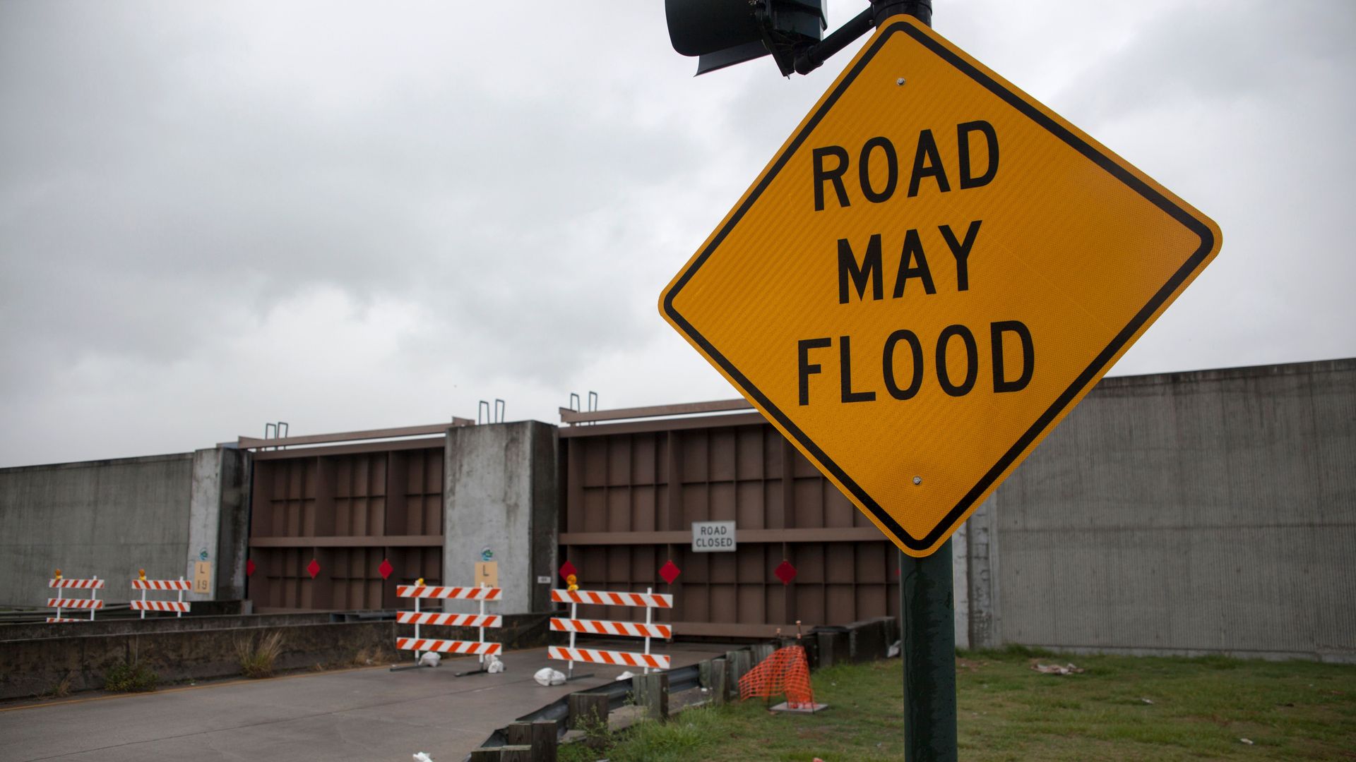
- To prepare for Barry, New Orleans sealed its flood gates in the Hurricane Risk Reduction System for the first time, the governor said.
Flooding on Jean Lafitte Blvd. (LA45) pic.twitter.com/W5uaKxQWNe
— Paul Dudley (@Pauldudleynews) July 13, 2019
I’m here on Eden Isle on the north shore of Lake Pontchartrain where the waves are really picking up. Water is completely covering the road here at Debbie Drive and Clara Drive. #TrackingBarry #TropicalStormBarry #NOLAwx #LAwx #flooding #Barry @WGNOtv pic.twitter.com/GXhOZSgqnJ
— Jeremy Jackson (@JeremyJacksonAL) July 13, 2019
Editor's note: This is a developing story. Check back for updates.
Go deeper: Why Barry risks overtopping New Orleans' levee system