Another summer of heavy rainfall and humid, sticky nights is ahead for much of Australia as forecasters declare a rare third consecutive La Nina weather event.
The outlook for the rest of 2022 has been raised to an established La Nina, according to atmospheric and oceanic indicators that inform the Bureau of Meteorology's La Nina alert system, the El Nino-Southern Oscillation (ENSO).
The BOM observed cooling in the central tropical Pacific Ocean in recent months, along with trade wind strength and equatorial cloudiness - all typical La Nina indicators.
It comes after months of reports of a likely third appearance of the weather pattern, which leads to heavier-than-usual rainfall, and cooler temperatures across the north and east coasts.
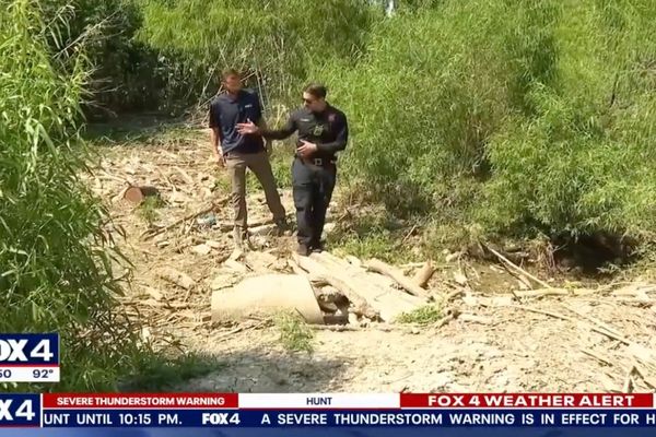
La Nina conditions were blamed for devastating flooding in southeast Queensland and the NSW Northern Rivers this year.
"Models indicate this La Nina event may peak during the spring and return to neutral conditions early in 2023," the BOM said.
NSW State Emergency Service Commissioner Carlene York has urged people to prepare, saying a third La Nina presents unique challenges and risks.
"There is already wet soil, high rivers and full dams right across our state, and with more rain on the horizon comes the very real possibility of flooding,'' she said.
The threat of another major flood event in 2022 comes after the SES notched its busiest 12 months on record in the previous financial year.
In Brisbane, the city council has announced free sandbags for residents, which will be available to be picked up on weekends for the next three weeks.
Lord Mayor Adrian Schrinner says the standard stockpile has already been tripled to 150,000 bags.
Monash University climate extremes centre expert Kimberley Reid echoed the calls to prepare.
"I would bet my bottom dollar that there will be more flooding in eastern Australia in the next six months," Dr Reid said.
She said oceanic weather patterns point to a wet spring, and already swollen rivers and dams will flood from any significant rainfall.
Three consecutive years of La Nina is an unusual event, though Dr Reid says it is not unprecedented.
"Our understanding of how often this occurs is limited by the lack of historical observations over the ocean," she said.
Dr Reid said a lack of data from before 1950 makes it hard to observe any trends.
The BOM statement added that climate change is continuing to influence climates locally and around the world, with Australia's temperatures warming by about 1.47 degrees for the 1910-2020 period.
The country's south has experienced an overall 10-20 per cent reduction in cool-season rainfall in recent decades.
There has also been a trend towards high-intensity rainfall events that occur over a short period of time, especially in northern Australia.