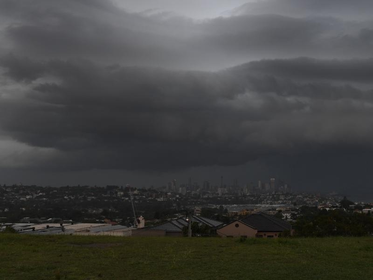
Sydney is set to be hit with severe thunderstorms for the second afternoon in a row, with hail, damaging winds and heavy rain forecast for swathes of the NSW coast.
The Bureau of Meteorology on Tuesday issued a severe thunderstorm warning for large parts of eastern NSW, including Grafton, Coffs Harbour, Gosford, Sydney, Wollongong, Nowra and Goulburn.
Meteorologist Melody Sturm said the northern and central ranges and slopes, as well as Western Sydney, are most at risk.
"The threats we're looking at right now are damaging wind gusts, heavy rain, and also the potential of large hail," she said.
Hail the size of 10 cent pieces has already been reported on the state's mid-north coast.
Ms Sturm says catchments waterlogged by weeks of wet weather in particular need to be alert.
"There is an increased risk of flooding, especially the northern districts, after all that rain has fallen in the last few weeks."
"Any extra rainfall will have the potential of causing minor flooding and also flash flooding."
A flood warning is current for the Castlereagh River at Mendooran near Dubbo and the Paroo River near the Queensland border.
BOM has also warned flooding may occur on the Orara and Bellinger Rivers from late Tuesday.
It comes after Monday's storm saw large rainfall totals and over 10,000 lightning strikes across Greater Sydney.
.jpg?w=600)