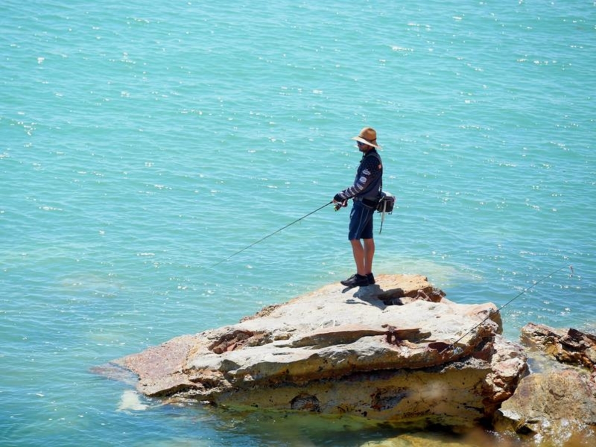
Northern Territory recreational fishers are now required to register to access about a third of the Top End's coastline.
The free online permit grants access to fishing spots across about 2000 kilometres of Indigenous sea country, the Northern Land Council says.
"The NLC has statutory responsibilities to assist traditional owners to manage their country and we take those responsibilities very seriously," chief executive Marion Scrymgour said.
Known as the Blue Mud Bay registration process, the new requirements start on Monday, with free access until December 31, 2022.
Talks about what happens after that are ongoing.
The NLC says the new system reflects the 2008 High Court of Australia decision that recognises Aboriginal ownership of tidal Aboriginal land - sometimes called the "intertidal zone" - in the Northern Territory.
Consultation with traditional owners for access to the popular Finniss River and Mini Mini systems has not been finalised.
"The NLC has been talking to and sharing information with all the other stakeholders - the NT government, (Amateur Fishermen's Association of the Northern Territory), the Seafood Council and the guided fishing tour operators," Ms Scrymgour said.
"But at all times we have to put the interests of traditional owners first."
The arrangement follows agreements permitting amateur access to fishing areas along 1,100km of other Indigenous sea areas, that have been in place since 2013.
AFANT has called on the NT government to act in the interest of all Territorians, saying fishers are locked out of some of the most popular and socially significant recreational fishing areas in the Top End.
"While we fully respect traditional owners' rights to decide upon access to their waters, AFANT is not convinced that the new regime is anywhere near the best solution to resolve Blue Mud Bay access," a spokesman said in a statement.
"Instead, it is a product of an unbalanced deal, and seems like a failure by the NT government to secure the best possible outcome in the interest of all Territorians."
A regulatory framework via the NT Fisheries Act and Land Rights Agreements already exists for professional fishers and guided fishing tour operators.
The intertidal zone is the area between the high tide and low tide water marks.
The Northern Territory coastline is about 5400km in length.