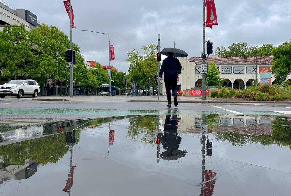
The temperature is forecast to drop to just three degrees overnight on Thursday as Canberra suffers through a failed start to summer.
The chilly start to the season puts the ACT on track for its coldest December on record, with snow possible in the Brindabellas Wednesday morning and evening.
Up to eight millimetres of snow was possible for the mountains around the ACT, Bureau of Meteorologist spokesman Danny Johnson said.
The bureau won't be releasing its December 25 outlook until next week, he said.
Cold fronts and low-pressure systems have brought wintery conditions to much of south-eastern Australia this week, including showers, storms, gusty winds, and well below-average temperatures.
Farmers in the ACT and Snowy Mountains district have been warned cold temperatures, showers and westerly winds this week could pose a risk to stock.
More than 74 millimetres of rain was recorded at Perisher Valley in a 24-hour period on Monday.
Mr Johnson said the ACT hadn't experienced temperatures this low in December since 2016.
"It is pretty uncommon," he said. "It's been unseasonal for the entire east coast."
Cold fronts continue to bring winter weather across much of south-eastern Australia this week, with showers, storms, strong and gusty winds and well below average temperatures for this time of the year.
— Bureau of Meteorology, Australia (@BOM_au) December 13, 2022
Stay up to date with the latest forecast https://t.co/zpBlIKZkHN pic.twitter.com/TMdv4OI3x5
While the ACT forecast provides some hope of summer emerging next week, Canberrans on the South Coast for the first week of school holidays may have to wait a little longer.
"The ACT outlook for next week is a bit drier and warmer after this big cold snap that we've been seeing, but there's still a little bit of uncertainty at this stage," he said.
Batemans Bay was looking at one to two millimetres of rain each day from Sunday until Tuesday with below-average temperatures across the South Coast, Mr Johnson said.
Overnight temperatures were expected to drop to nine or 10 degrees, with daytime temperatures rarely topping 20 or 21 degrees.
The bureau has issued a warning for minor flooding in south-east NSW over coming days.
Mr Johnson said with rivers and catchments already full there was an increased risk of flash flooding.
He said people travelling should be aware of any warnings from the bureau or emergency services before hitting the road in coming days.
"Obviously with the rainfall around and the snow, it's a bit weird and unusual," he said.
"Even just one or two mils at the moment can make a creek flood."
We've made it a whole lot easier for you to have your say. Our new comment platform requires only one log-in to access articles and to join the discussion on The Canberra Times website. Find out how to register so you can enjoy civil, friendly and engaging discussions. See our moderation policy here.