A “vigorous coastal low” has formed off Australia’s east coast, the Bureau of Meteorology says, bringing potentially damaging winds, hazardous surf and persistent rainfall and flooding across much of the New South Wales coastline.
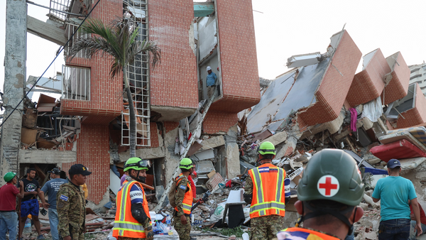
Millions of residents are in the path of a severe low-pressure system intensifying off NSW’s north coast, tracking towards regions still recovering from deadly floods.
Authorities are preparing for dangerous weather conditions on Tuesday and Wednesday, with hundreds of emergency services personnel, helicopters and specialist vehicles on stand-by, even though the system had not yet met the criteria for an “east coast low” as predicted.
In a weather warning issued at 11pm on Monday night, the Bureau of Meteorology said a vigorous coastal low was developing offshore to bring damaging, locally destructive winds and possible heavy rainfall over central and northern NSW from Tuesday.
At 4.10am on Tuesday, it repeated warnings of storm force winds for the Macquarie coast and Hunter coast and a gale warning for Sydney enclosed waters, the Sydney coast, Illawarra coast and Batemans coast. There was also a warning of strong winds for the Byron coast, Coffs coast and Eden coast.
Australia is regularly affected by low-pressure systems and cold fronts. Some on the east coast can intensify quickly and hang close to the coast, producing persistent rain and strong winds.
So, what is the difference between a coastal low, an east coast low, and is it a bomb cyclone?
When does a coastal low become an east coast low?
While the current low-pressure system has some similarities to an east coast low, there are some important differences – mainly in physical characteristics, duration and moisture – a bureau spokesperson says.
“East coast lows are associated with high-impact weather, sometimes bringing extreme rainfall rates, storm-force winds and large waves.”
An east coast low displays “an intense cyclonic circulation and distinct upper-atmospheric characteristics”, the spokesperson says.
East coast lows also have a longer duration, with impacts lasting over several days, while this week’s weather pattern was forecast to shift eastward on Wednesday.
“The most dangerous east coast lows tend to draw moisture-filled easterly winds into the NSW coast and further inland. This system is drawing south to south-westerly winds that, while still bringing moisture, do not hold as much water as an east coast low system and this is reducing the riverine flood risk.”
How damaging can east coast lows and coastal lows be?
East coast lows usually hug the coast, drawing energy from the ocean and warm waters to the north, and can impact highly populated areas, says Dr Martin Jucker, an atmospheric scientist and senior lecturer at the University of New South Wales Climate Change Research Centre.
Nearby mountains, like the Great Dividing Range, could add to the potential for rain and flooding.
“But just because you don’t call it an east coast low, doesn’t mean we’re safe,” he says.
Both coastal lows and east coast lows are capable of bringing lots of rain, rough seas and damaging winds, along with the potential for flooding and damage.
The combination of flooding and strong winds is a particular problem, Jucker says. “If the two come together, you are really in for damage. Because first, if you soak up the soil, you expose the roots of trees, and then you come in with strong wind, those trees just won’t withstand any more.”
Is this a ‘bomb cyclone’?
Multiple media outlets have reported that “bomb cyclone” is a meteorological term used to designate a low-pressure system that develops extremely quickly from nothing into a formidable storm, also using the term “bombogenesis” or “cyclogenesis”.
However, the Bureau of Meteorology has stopped short of using that terminology in media commentary and has not officially called this week’s event anything other than a “vigorous” coastal low, as of Tuesday morning.
The bureau’s senior meteorologist, Jonathan How, told Nine’s Today program: “We don’t really use [bomb cyclone] very much. We just talk about a low pressure system deepening very quickly because ‘bomb’ can sort of create a little bit more panic and [make it sound] a little bit more scary than what it actually is.”
What about the other types of low-pressure systems?
Low-pressure systems can form over southern Australia too but these systems are often rapidly moved eastward by the jet stream just off the southern coast of Australia.
“If you have a weather system that comes over the South Australian coast, it can still be as strong as an east coast low but it will be blown away rather quickly because of these very strong winds,” Jucker says.
– with Australian Associated Press