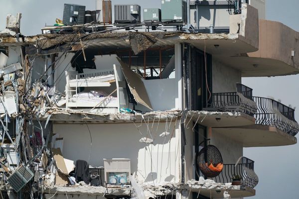
Land subsidence has affected around 65 per cent of the houses in the pilgrimage town of Joshimath in Uttarakhand, according to a report by government agencies.
Starting January 2, a number of houses and civil structures in an area located near Joshimath-Auli road began to display major cracks due to land subsidence, prompting the relocation of 355 families.
According to local residents, land subsidence had been noticed over several years but became increasingly severe from January 2 to January 8.
A 35-member team conducted a "Post Disaster Needs Assessment" from April 22 to April 25 to assess the damage caused and to identify the assistance required for the long-term recovery and reconstruction of the affected sectors.
The team consisted of professionals from the National Disaster Management Authority, UN agencies, Central Building Research Institute, National Institute of Disaster Management, and other agencies.
According to the assessment report, 1,403 of the total 2,152 houses in Joshimath have been affected due to land subsidence and these need immediate attention.
"A total of 472 houses need to be reconstructed and 931 houses need to be repaired/retrofitted. It is important to note that the partially damaged houses must be retrofitted in line with 'build back better' principles in order to enhance their resilience against not just landslides, but also other disasters," the report read.
The report said the main causes of damage to buildings in Joshimath include the use of weak building materials, insufficient reinforcement, structural flaws, and the location of buildings on steep slopes.
Also Read: Explained | Why is the land sinking in Joshimath?
It highlighted that the buildings suffered more damage, even when subjected to minor ground subsidence, due to the use of weak mud-based mortar to hold the bricks or stones together.
Some buildings do not have strong support structures like reinforced concrete (RC) or wooden bands to keep them stable. The agencies said some buildings have very long walls that aren't well supported and light roofs which cause the building to expand and contract, leading to damage when the ground moves.
They also urged the state government to completely ban new construction in the town till the end of the monsoon season and allow relaxation only for light-weight structures after post-monsoon reassessment of ground conditions.
The report highlights that although building bylaws exist, they are not mandatory for residential buildings.
"People obtain permits only when they need a loan or for other government requirements. One of the primary reasons for Joshimath's current situation is the absence of a building permit system. Had there been risk-based building bylaws in place and existing buildings were in compliance with them, the extent of damage would have been less, and retrofitting would have been less expensive," the report said.
Also Read: Fear and foreboding in Joshimath
Another issue of concern identified in the report is the "lack of town planning and absence of risk-informed land use maps".
"The roads are too narrow, and there are hardly any open spaces in the neighbourhoods. This makes the town highly unsafe since access in emergency situations is almost impossible," it said, emphasising the urgent need for a comprehensive development plan.
The agencies emphasised the immediate need for the development of a prospective plan with the objective of creating a safe and resilient Joshimath for the next 10-15 years.
Incidents of land subsidence in Joshimath were reported in the 1970s too.
A panel set up under the chairmanship of Garhwal Commissioner Mahesh Chandra Mishra submitted a report in 1978, stating that major construction works should not be carried out in the city and the Niti and Mana valleys as these areas are situated on moraines, a mass of rocks, sediment, and soil transported and deposited by a glacier.
The Himalayan town lies in seismic zone V (the region most vulnerable to earthquakes) and is prone to landslides and flash floods.